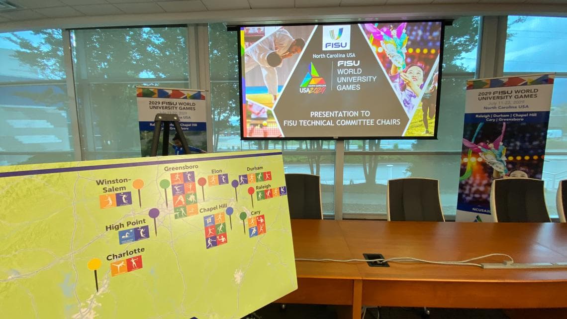
Guilford County parks, greenways and multi-use trails mapped in detail
Guilford County mapped its network of parks, greenways and multi-use trails, detailing routes, access points and amenities that shape recreation, transportation and public health locally.
Guilford County maintains a network of parks, greenways and multi-use trails that connect neighborhood streets to lakes, battlefields and regional routes, offering residents active-transportation options and outdoor recreation close to home.
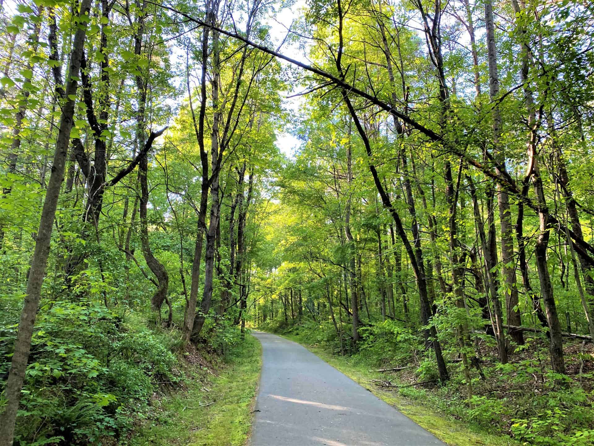
The Atlantic-Yadkin Greenway is a key spine in that network. Trail writers describe it as an almost eight-mile paved rail-trail that follows the abandoned Atlantic-Yadkin Railroad bed and links Summerfield-area trailheads with Greensboro neighborhoods and parks. TrailLink notes that “From the intersection of Old Battleground and Lake Brandt roads, the rail trail runs through a residential neighborhood then crosses through Guilford Courthouse National Military Park before skirting the western border of the adjacent Greensboro Country Park.” Guilford County adds that “Pedestrians can access the Atlantic‑Yadkin Greenway next to the Bur‑Mil Park Wildlife Education Center. The Greenway is a paved trail that leads to the Guilford Courthouse National Military Park. There is a great view of Lake Brandt from the H. Michael Weaver Bridge. Many different native plants, wild flowers, pines, and mixed hardwoods make this trail quite scenic. If you wish to take a detour off of the paved Greenway, you can venture onto one of the unpaved Watershed Trails. Both the Nathanael Greene Trail and the Owl’s Roost Trail intersect the Greenway.”
The A&Y’s railroad past is part of its character and community value. TrailLink reports the corridor “occupies the abandoned bed of the Atlantic‑Yadkin Railroad, which operated between 1899 and 1950,” and notes segments once handled freight and visitors to Guilford Courthouse. On-the-ground observers say the City of Greensboro removed the last of the track as recently as 2018. Users will find scenic lake crossings, shaded hardwoods, and wildlife sightings; one account recalls seeing “blue herons, ducks, egrets, and ospreys” and stopping “on the Weaver Bridge to enjoy the scenic beauty of Lake Brandt, wishing we had brought a lock to attach to the fence similar to the Pont des Arts ... (FYI - The City of Greensboro cuts off the locks from time to time and [text truncated in source]).”
The Bicentennial Greenway provides a longer regional corridor: Guilford County describes it as a 14.5-mile multiple-use trail made of asphalt and gravel, open daily from sunrise to sunset, with access from Gibson Park. Bicycles are explicitly allowed and encouraged, reflecting a regional push to expand connected bike and pedestrian routes.
Statewide trail work also touches Guilford County. The Mountains-to-Sea Trail runs 1,175 miles across North Carolina, with 680 miles on trail. Guilford County’s County Farm segment currently includes 2.2 miles that “traverses pasture, crop land and wood land, along with several creek crossings and stunning rock outcroppings,” and county planners say plans for additional mileage are already underway.
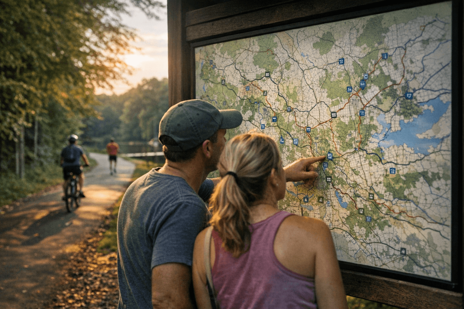
For residents, these mapped details matter for public health and equitable access. Trails link parks, schools and transit corridors, offering low-cost options for exercise and social connection while supporting alternative transportation. Practical access points include parking between Summerfield Road and Markland Drive, 5834 Bur-Mill Club Rd, and Lewis Recreation Center at 3110 Forest Lawn Dr; some rail-trail sections require short sidewalk jogs, so follow trail wayfinding markers for continuity.
Taken together, the mapped network strengthens Guilford County’s outdoor infrastructure and creates levers for equitable investment in active transportation, green space access and watershed protection. As planning continues on the County Farm MST segment and other connectors, residents can use the mapped routes for daily errands, family outings and healthful recreation.
Know something we missed? Have a correction or additional information?
Submit a Tip