Parts of Harris County sinking faster, groundwater use blamed in new report
Katy and nearby suburbs are still sinking, with one station showing 14 inches of drop since 2007 as groundwater pumping keeps reshaping the land.

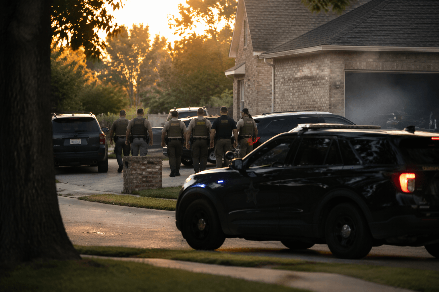
Homeowners in Katy, Spring, Tomball and parts of north and western Harris County are living on ground that is still dropping, and the damage is not abstract. As the land sinks, cracked foundations, drainage problems, road distress and future flood risk become harder to ignore.
Ashley Greuter, the research director for the Harris-Galveston Subsidence District, presented the district’s 2025 Annual Groundwater Report during a public hearing at 9 a.m. April 30 in Friendswood. The report pulls together the latest subsidence, aquifer water-level and groundwater-use data, and it shows that parts of the western and northern suburbs continue to sink faster than much of the region.

Greuter said areas in western Harris County, especially Katy and Fulshear, are showing sinking rates above 2 centimeters per year. Tomball and Spring are also seeing elevated rates. In Katy, one GPS station has recorded about 14 inches of sinking since 2007, and the five-year average from 2021 to 2025 was 2.64 centimeters per year, a little more than an inch annually.
The driver, district officials say, is groundwater use. As population growth continues, more water is being drawn from underground aquifers, and that withdrawal contributes to subsidence. For neighborhoods built across the western edge of the county, that means the ground beneath streets, yards and utility corridors can keep changing year after year, even in years without a major storm.
That matters because subsidence can quietly raise the cost of staying dry. Drainage systems are designed around elevation; when the ground lowers unevenly, water can move differently through ditches, bayous and storm sewers. Road surfaces and utility systems can also lose alignment, and floodplain assumptions built for a higher landscape may no longer fit the terrain on the ground.
The Harris-Galveston Subsidence District was created by the Texas Legislature in 1975 to regulate groundwater withdrawal in Harris and Galveston counties and end subsidence. Its regulatory plan was expanded in 1999 to north and northwest Harris County, where the district now requires major reductions in groundwater dependence. In Regulatory Area 1, groundwater may make up no more than 10% of total water demand; in Areas 2 and 3, the cap is 20%.
The district’s GPS monitoring network covers Harris, Galveston, Fort Bend and surrounding counties, with University of Houston researchers processing the data. That long-running monitoring network helps show why the latest numbers matter: the problem is not stopping at the county line, and the fastest-sinking pockets are still clustered where growth and groundwater demand remain highest.
This article was produced by Prism’s automated news system from verified source data, official records, and press releases, then run through automated quality and moderation checks before publishing. The system is built and supervised by the people who set the standards it runs under. Read our full AI policy.
Did this article answer your question?