Croom wildlife area offers Hernando County’s biggest public-lands adventure
Croom packs 20,000-plus acres, river frontage and multiple trailheads into Hernando County’s biggest public-lands playground. The key is knowing which entrance, rules and terrain match your trip.

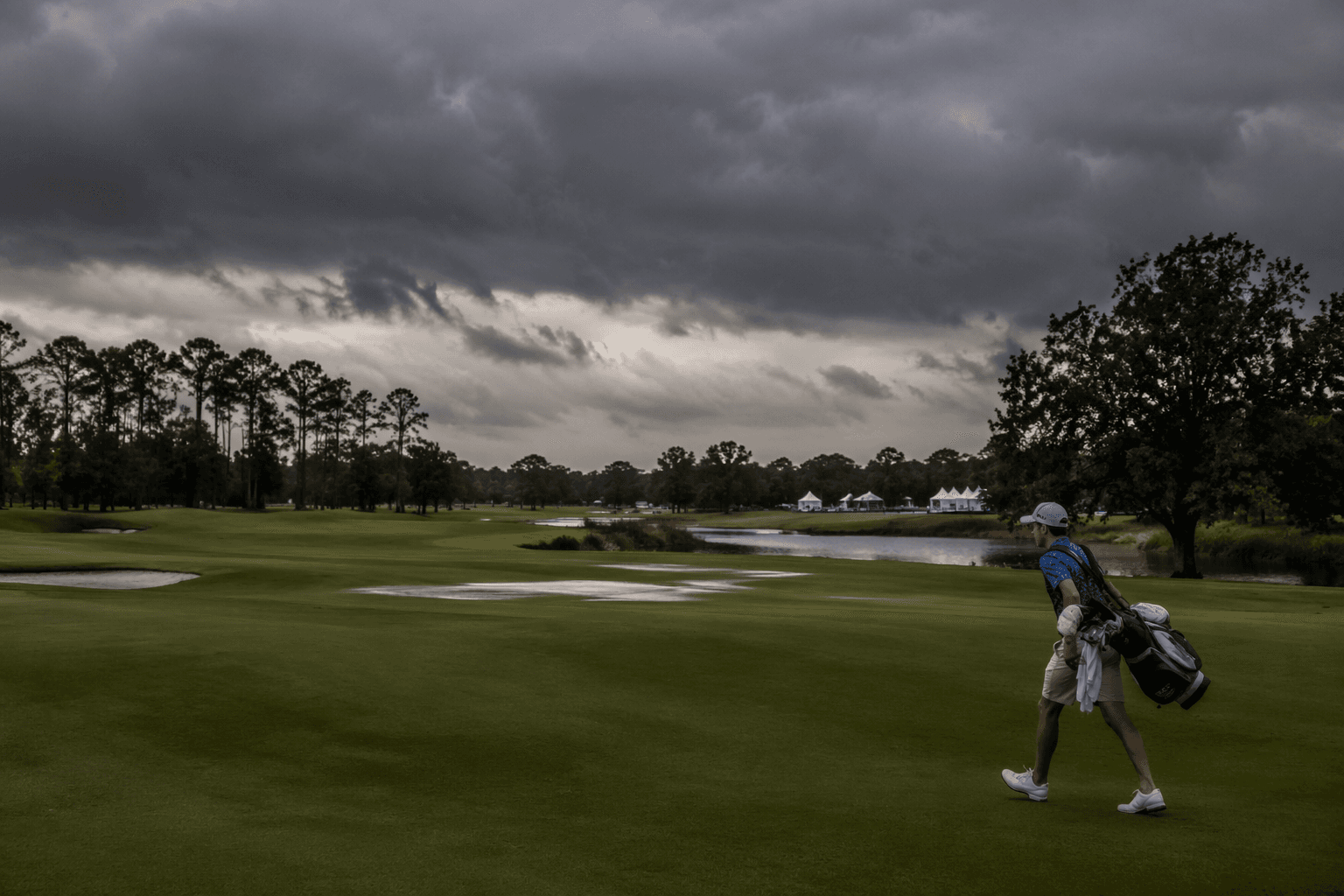
Just northeast of Brooksville, Croom spans more than 20,000 acres in Hernando and Sumter counties, follows 13 winding miles of the Withlacoochee River and includes Silver Lake at the river’s widest stretch.
A public-lands landscape built for more than one kind of day
Cypress and longleaf pine shape Croom, so the area works year-round as a nature destination rather than a seasonal stop. It also sits inside the larger Withlacoochee State Forest, a major multi-county public resource that spans more than 160,000 acres across Pasco, Hernando, Citrus, Lake and Sumter counties. That larger forest belongs to the Great Florida Birding and Wildlife Trail, so Croom is part of a much bigger conservation network, not a stand-alone park.
Know the trail system before you leave the pavement
The Florida Department of Agriculture and Consumer Services divides Croom into distinct recreation areas: Croom Motorcycle Area, East Croom, Hog Island, Iron Bridge, River Junction, Silver Lake and Tucker Hill.
The Florida Department of Agriculture and Consumer Services lists 31 miles of trails for hiking, 64 miles for biking and 43 miles for horseback riding on the tract as a whole. It also lists three boat or canoe ramps and five designated camping areas. The roads are sandy and unimproved, so four-wheel drive is the safest default when you are heading deep into the tract with gear, horses or camping supplies.
Hiking, paddling and camping on the river side of Croom
If your day is built around the Withlacoochee River, start with the water-access areas. Hog Island includes a canoe and small-craft launch, a hiking trailhead and a campground with shaded campsites, which makes it one of the most versatile stops on the tract.
Iron Bridge Day Use Area is identified as a turnaround point, which can make it a better fit for less experienced hikers on a tract this large. Silver Lake and Tucker Hill give visitors more than one place to build a route around the river, the woods or a base camp.
Horseback access comes with clear rules
East Croom is the equestrian anchor on the tract, with an equestrian trailhead and a primitive hunt camp that closes during hunting season and operates by reservation only.
Children under 16 must wear a protective helmet while riding on state lands, and horses must have proof of current negative Coggins test results.
The motorcycle area is its own destination
The Croom Motorcycle Area is separate from the rest of the tract and covers 2,600 acres. It is open seven days a week and includes a training area, a young rider area, two day-use areas called Hammock and Sand Hill, and the Buttgenbach Mine Campground.
Its developed sites have 30- and 50-amp electricity, water, restrooms, showers and a dump station, which makes it one of the most fully equipped overnight options on the tract. White piebald deer, sometimes called ghost deer, are among the wildlife in the motorcycle area, along with bobcat, gopher tortoise, coyote, bald eagle and other wildlife.
The riding area itself came out of an argument over land use. Forestry staff objected to scattered motorcycle riding in 1965 because it damaged fragile soils, then a public hearing in 1971 gave riders, the American Motorcycle Association and the Florida Trail Riders Association a chance to support a dedicated riding zone instead.
Croom’s history still shows through the trees
Croom is named for the former town that once sat on the Withlacoochee River. Phosphate mining, turpentine distilling, a sawmill and railroad activity once anchored the local economy there, and the area also had a branch rail line to Brooksville. When timber was cut and phosphate mining slowed with World War I, many residents left. The Resettlement Administration later cleared the remaining inhabitants as part of the New Deal land project that helped reshape the forest.
The broader Withlacoochee State Forest itself was created in the 1930s as a resettlement and land-rehabilitation effort after Florida’s pine, cypress and phosphate country had been heavily depleted by turpentine, logging and mining. The land later moved through a 25-year lease-purchase arrangement, and title was transferred to the state in 1983. In Croom, that history is still visible in old foundations, family cemeteries, a brick vat and the remains of an iron railroad bridge.
This article was produced by Prism’s automated news system from verified source data, official records, and press releases, then run through automated quality and moderation checks before publishing. The system is built and supervised by the people who set the standards it runs under. Read our full AI policy.
Did this article answer your question?