Gila National Forest plan will guide recreation, grazing and fire management
The Gila plan will steer future trail work, grazing, road access and wildfire resilience across the forest’s Hidalgo County side.
The 2024 Gila National Forest Land Management Plan covers 3.3 million acres of forested hills, mountains and rangeland in Catron, Grant, Hidalgo and Sierra counties. Its rules will shape how the forest is used, maintained and protected for years, with effects that show up in recreation access, grazing decisions and wildfire management.
What the plan does
The 2024 Gila National Forest Land Management Plan is not a one-off project approval. It is the long-range framework the U.S. Forest Service uses to balance multiple uses and conservation goals before any individual trail, road, habitat treatment or fire project is written.
The revision has been in motion for years. The Forest Service announced it in a Federal Register notice dated April 26, 2017, and in July 2024 issued a draft Record of Decision for the revised plan. In July 2024, the agency prepared a Final Environmental Impact Statement and gave people a chance to object to the revised plan and the Regional Forester’s list of species of conservation concern.
Why Hidalgo County should care
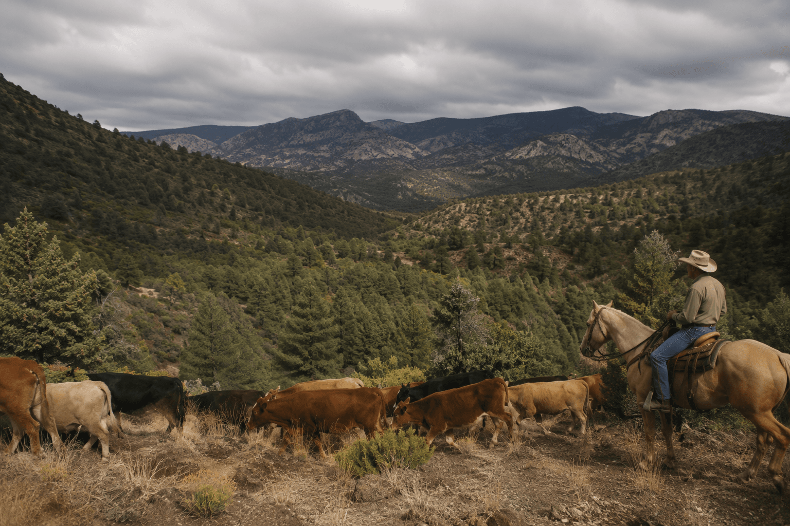
The plan applies to forest lands in Catron, Grant, Hidalgo and Sierra counties, which means Hidalgo County is part of the decision-making map, not an afterthought. For ranchers, that puts grazing permits and allotments inside a larger framework that will guide how the Forest Service weighs range use over time. For hunters, campers and off-road users, the same framework helps determine which roads and trails receive attention, where access is protected, and where restrictions or restoration work may land.
Instead of handling each issue in isolation, the Forest Service is setting one county-spanning blueprint for the next round of site-specific decisions. Trail work, vegetation treatment, road management, wildlife habitat decisions and wildfire resilience efforts all have to line up with it.
What changes on the ground
In daily terms, the plan can affect how you get into the forest and how the forest looks when you get there. A maintenance choice on a road near one part of the forest can influence whether a hunter reaches a favored area, whether a camper can get to a dispersed site, or whether an off-road route stays open under the conditions the agency sets. The same is true for grazing country, where the plan’s standards shape how future allotment decisions are considered across a huge landscape.
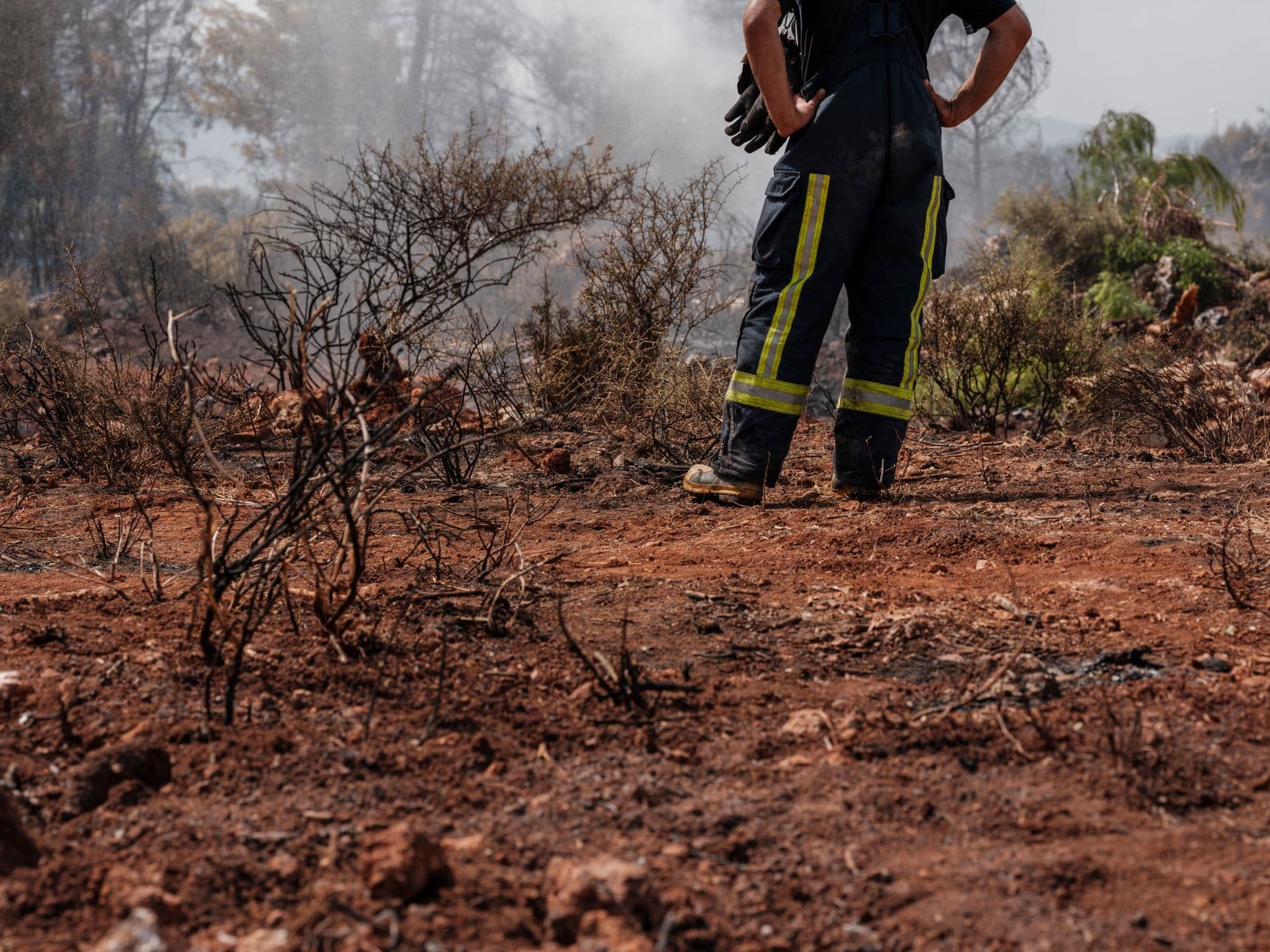
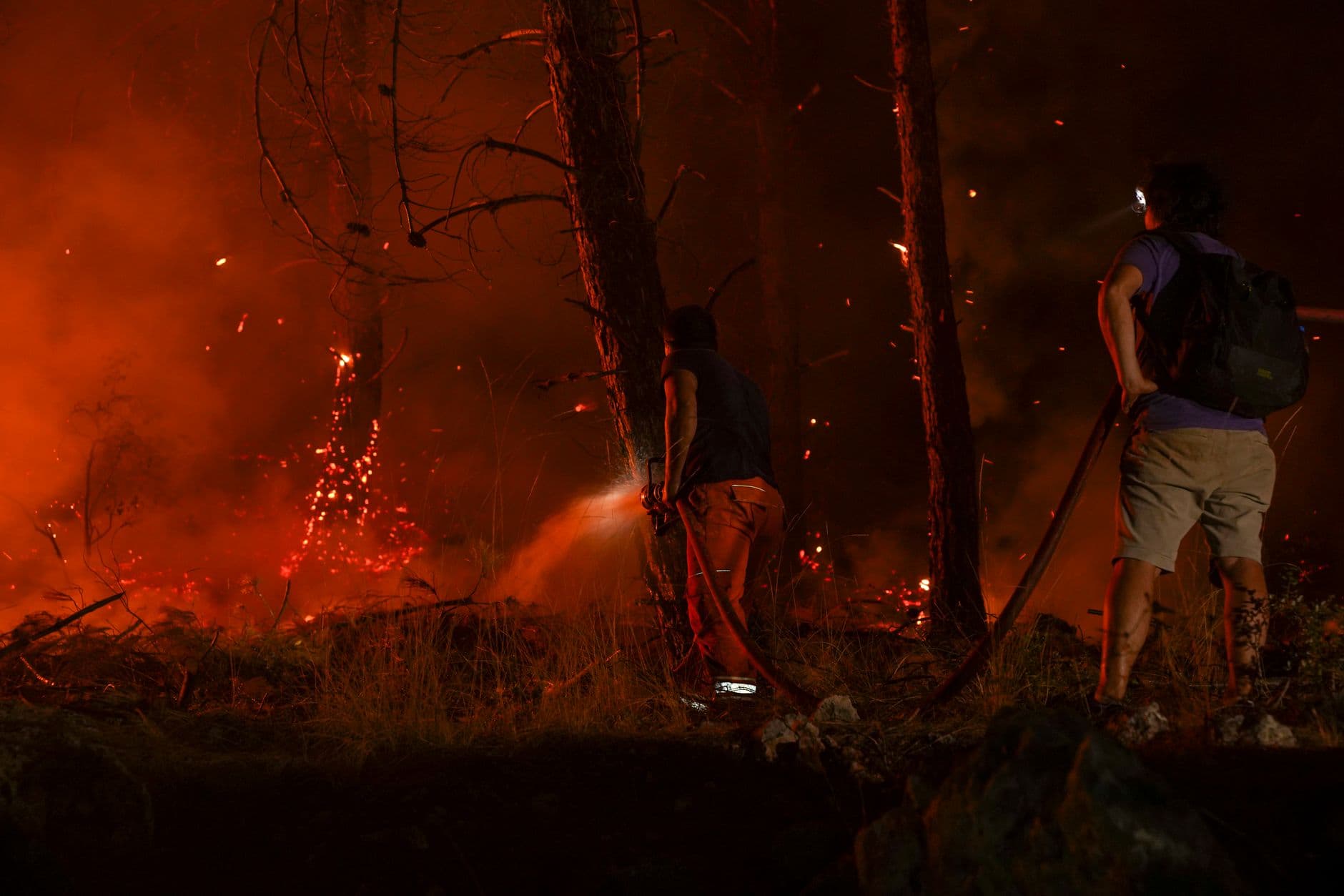
Fire management is another place where the plan will show up outside of agency offices. The Forest Service will use it to steer wildfire resilience efforts, which can include vegetation treatment and other fuel-related work. In a forest that spans high country and rangeland, those choices affect where treatments happen first, how the agency balances habitat with fuel reduction, and how nearby communities experience smoke, access and emergency response planning.
The forest is big enough to matter in several places at once
A single framework has to cover a landscape where recreation, grazing, habitat and fire all overlap, whether around Silver City, near Emory Pass or in other parts of the forest.
If a road proposal, trail reroute, thinning project or habitat decision arrives later, the question will not start from scratch. It will start with the standards already written into the 2024 plan.
Who pushed back
The revision drew organized attention from groups that see the forest through different lenses. New Mexico Wild filed an objection to the Gila National Forest Land Management Plan. The Wilderness Society said the new plan could leave wildlife, waterways and wilderness without needed protections. The Rio Grande Chapter of the Sierra Club also ran a public campaign to improve the plan.
At the same time, Nuestro Gila said its proposal came from a diverse group of conservation, recreation, hunting and fishing organizations and was built from extensive field inventories and community input. The arguments ran through the forest’s core tradeoffs, including where protection should be stronger and where multiple-use access should remain central.
What to watch next
The July 2024 draft Record of Decision moved the agency from drafting to selecting a final direction, while objections and implementation questions still matter. The most important follow-through for Hidalgo County will be how the plan shapes future site-specific actions, especially if road access, grazing, recreation or wildfire projects are proposed near the parts of the Gila people use most often.
This article was produced by Prism’s automated news system from verified source data, official records, and press releases, then run through automated quality and moderation checks before publishing. The system is built and supervised by the people who set the standards it runs under. Read our full AI policy.
Did this article answer your question?