Caltrans seeks public input on climate plan for U.S. 101 corridor
Caltrans is asking Humboldt County for comments on a climate plan that could shape Highway 101 between Eureka and Arcata as flooding and sea-level rise grow.

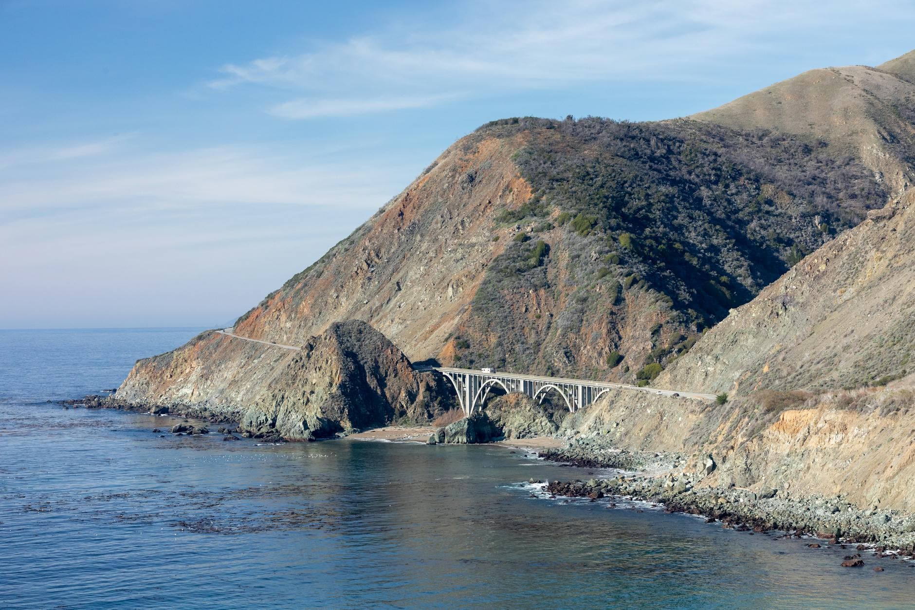
Caltrans is opening the future of the Eureka-Arcata stretch of U.S. 101 to public comment at a moment when the road is more than a route on a map. The six-mile corridor is the region’s most heavily traveled highway segment, and Caltrans says its proximity to Humboldt Bay leaves it exposed to sea-level rise, coastal erosion, flooding and saltwater intrusion that could affect commutes, freight movement and emergency access.
The agency’s Comprehensive Adaptation and Implementation Plan is now out for public review through 11:59 p.m. Tuesday, June 30, 2026. Caltrans District 1 says comments should be sent to NCCA@dot.ca.gov. The plan is not presented as a fixed list of construction jobs. Instead, Caltrans describes it as a baseline and roadmap for decisions over the coming decades, one that can be updated as new data, projections and funding opportunities emerge.
That approach matters on a corridor where planning has already been moving for years. Caltrans and the California Coastal Commission briefed lawmakers on the Eureka-Arcata Highway 101 corridor in September 2021, and the Coastal Commission was briefed again in May 2024 on progress toward a comprehensive adaptation plan. Coastal Commission appendix materials show a monitoring framework tied to the corridor, with annual reports intended to track water elevations, flood and erosion impacts, and adaptation responses beginning in 2020. Those reports were meant to capture king tides, storms, overtopping or breaching of dikes, tide-gate failures, and groundwater or drainage problems.
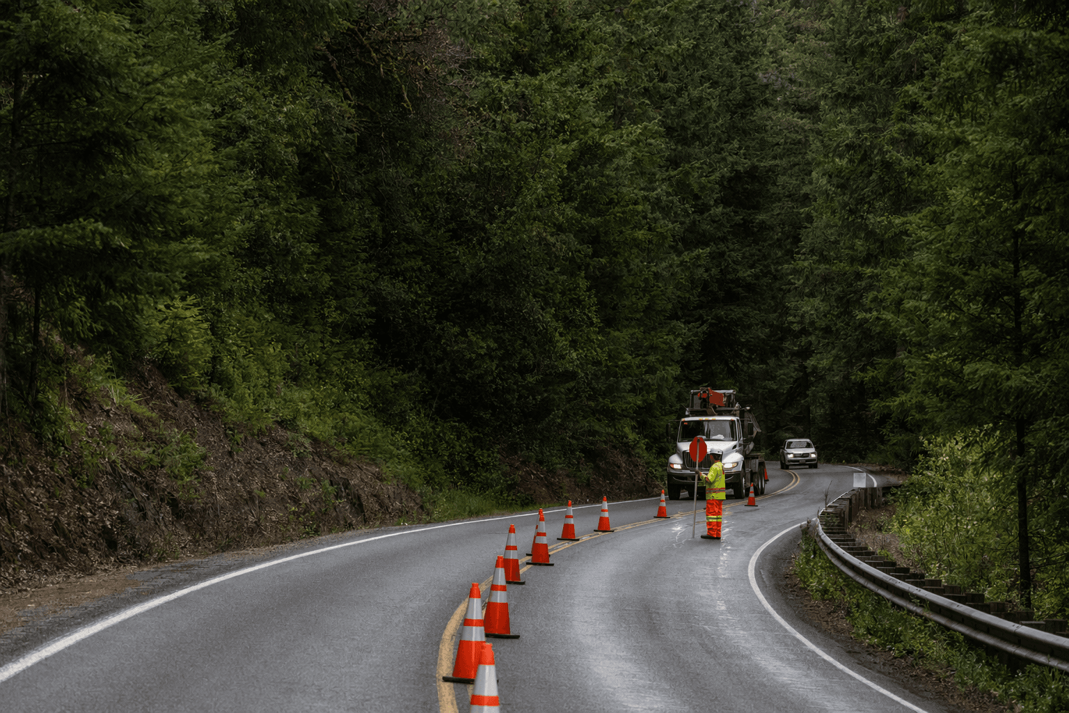
The corridor has also seen a string of targeted improvements meant to keep traffic moving while conditions change. Caltrans lists work at Indianola Road, Airport Road, Jacoby Creek and Gannon Slough, along with acceleration and deceleration lane improvements, cable median barrier installation, bridge and rail replacements, and tide-gate replacements. Caltrans says the Indianola Undercrossing project is now expected to be complete in 2026.
A parallel effort is taking shape farther north along the same shoreline. The California State Coastal Conservancy’s Humboldt Bay Living Shoreline Planning project covers about 1.25 miles of Highway 101 between Bracut and Brainard and includes preliminary designs, CEQA review, 65 percent design plans and permit applications for phase one salt-marsh restoration. The Conservancy says the work is meant to reduce wave exposure while preserving ecosystem benefits.
All of it points to the same pressure on Humboldt County’s busiest highway: Humboldt Bay is experiencing one of the fastest rates of sea-level rise on the West Coast, and land subsidence adds to the risk. Caltrans says the corridor plan was developed with state and local partners, but the next choices will be shaped by whether the public sees Highway 101 as a roadway to maintain or a coastline to redesign.
Know something we missed? Have a correction or additional information?
Submit a Tip