Great Redwood Trail Master Plan Charts 300-Mile Rail-to-Trail Future
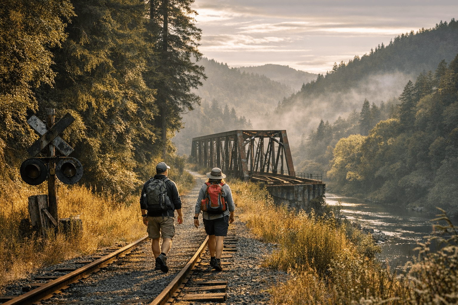
A nearly 300-mile rail-to-trail corridor from San Francisco Bay to Humboldt Bay cleared a major hurdle when GRTA approved its final master plan.

The Eel River canyon and the remote community of Alderpoint are among the early priorities in a sweeping master plan approved by the Great Redwood Trail Agency last month, setting the stage for what could become a nearly 300-mile nonmotorized corridor linking the San Francisco Bay to Humboldt Bay.
The GRTA board approved the final master plan on March 20, transitioning the long-discussed rail-to-trail project from concept into the harder work of design, permitting, and construction. The plan addresses roughly 231 miles in the northern segment alone, spanning Mendocino, Trinity, and Humboldt counties, with southern segments expected to eventually push the total trail length toward 300 miles.
The master plan covers a broad range of issues that have defined the project's complexity: trail design standards, habitat restoration, river crossings, safety treatments, operations and maintenance frameworks, and economic development opportunities for rural communities along the route. Cultural and tribal engagement is embedded throughout, reflecting years of outreach with Tribal governments whose ancestral lands intersect the corridor.
The California State Coastal Conservancy is among the state and regional partners working alongside GRTA, joined by local governments in Humboldt and neighboring counties that have been part of the stakeholder network built over years of public outreach.
For Humboldt County, the plan's approval means project designs, grant applications, and public-input windows should begin materializing for local alignments. The economic case for the trail rests on sustained tourism and visitor spending flowing into rural economies that have few alternative growth engines; the Eel River canyon segments pass through communities with limited infrastructure and deep ties to the land.
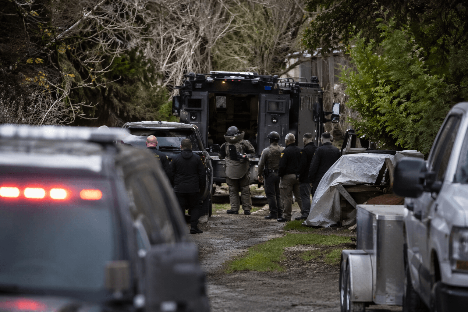
The plan has not landed without friction. Concerns persist about cost, timeline, impacts on private property, and how trail management will handle law enforcement challenges, homeless encampments, and resource protection along remote stretches. GRTA and its partners have said those issues are being addressed through operational strategies and tribal consultation, though skeptics question whether those commitments will hold once construction begins.
Federal and state funding and permitting will determine the pace of work, particularly for complex river crossings and environmentally sensitive stretches through the Eel River canyon. The master plan authorizes priority segments to move into detailed engineering and environmental review, but the trail's full realization across 300 miles is measured in decades, not years.
This article was produced by Prism’s automated news system from verified source data, official records, and press releases, then run through automated quality and moderation checks before publishing. The system is built and supervised by the people who set the standards it runs under. Read our full AI policy.
Did this article answer your question?