Iron Ore Heritage trail preps off-road route for summer riders
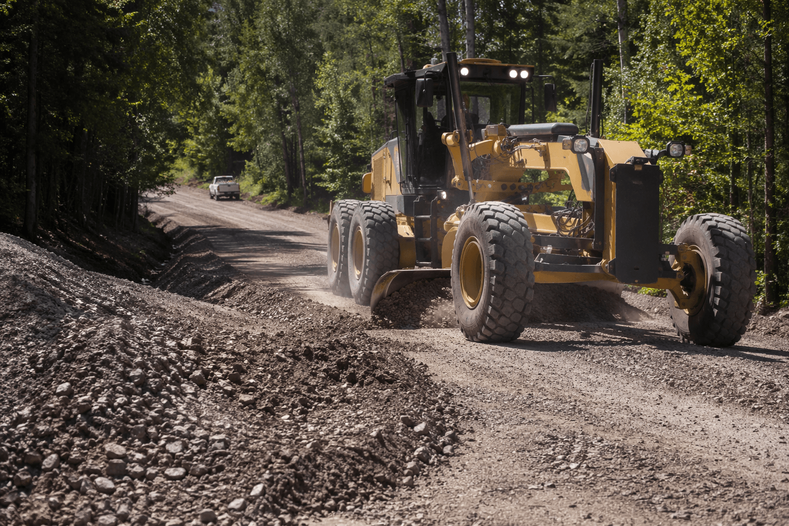
Grading and gravel work are smoothing the C Route so riders can reach Republic from Negaunee, but heavy equipment may slow summer trips.

Crews are grading and laying gravel on the Iron Ore Heritage Recreation Authority’s ORV route through Ely and Humboldt townships as Iron County heads into its busiest riding season, and riders are being warned to expect heavy equipment and possible delays until the work is finished.
The authority serves as the Michigan Department of Natural Resources ORV sponsor for the C Route from Negaunee to Republic. The current work is focused on the section from the Tilden and Ely township line to the Humboldt and Republic township line, and it is expected to be complete within two weeks. For riders planning weekend runs, that means the route is open for use, but not yet settled into its final summer condition.
The Iron Ore Heritage Trail now offers a 24-mile state ORV route linking Negaunee’s Ice Arena with downtown Republic, with parking available at both ends. In Ishpeming, ORV users follow Hematite and Washington streets, which are open to machines 65 inches wide and under. Confidence markers line the route, and map boards are posted at the Negaunee Ice Arena, Third Street, Spruce Street, Washington streets in Ishpeming, and downtown Republic. Those markers and parking points make the route easier to navigate for riders moving through town centers, where summer traffic can spill into fuel stops, restaurants and other local businesses.
The trail is part of a much larger system. The Iron Ore Heritage Trail stretches 47 miles across the Marquette Iron Range from Chocolay Township to Republic, and it is built around the region’s more than 160-year iron-mining heritage. That broader identity has become part of the trail’s draw for summer visitors looking for a ride that connects recreation with local history.
Maintenance work is being funded through the State of Michigan ORV trail permit program. Additional trail projects are expected in June, with final grading set for September. Michigan says it has more than 4,000 miles of state-designated ORV trails, routes, scramble areas, eligible roads and frozen public waters, while Upper Peninsula state forest roads open year-round to ORVs totaled 5,752.5 miles as of April 1, 2026. Public comments on the annual road maps are accepted through Aug. 31, and approved changes take effect April 1.
This article was produced by Prism’s automated news system from verified source data, official records, and press releases, then run through automated quality and moderation checks before publishing. The system is built and supervised by the people who set the standards it runs under. Read our full AI policy.
Know something we missed? Have a correction or additional information?
Submit a Tip