Camano Island State Park offers campsites, cabins and shoreline views
Camano Island State Park still works because locals built it: today it offers campsites, cabins and a shoreline base, and its volunteer origin shapes how residents use it.

Camano Island State Park still feels like a place won by hand. On Camano Island in Island County, the park gives families, campers and day-trippers a public shoreline with forested trails, a rocky beach and wide views across Puget Sound to the Olympic Mountains and Mount Rainier.
What the park offers today
The park’s practical appeal is simple: it has enough room to stay awhile, but it still works for a short coastal outing. Washington State Parks lists 77 standard reservable campsites, five forest cabins, a group camp for up to 100 people, and a low-key day-use setting that keeps the focus on the beach and the woods.
Lowell Point is the most useful place to orient yourself once you arrive. That area includes a kitchen shelter with electricity, a wood stove and large windows facing Saratoga Passage and Whidbey Island, which makes it a strong base for reunions, rainy-day meals and casual gatherings that need a sheltered place to spread out.
For people arriving on foot or by bike, the campground also includes hiker/biker camping and a primitive Cascadia Marine Trail site. Current campground summaries describe the park as about 134 acres along Saratoga Passage, with the upper loop opening seasonally in May and the lower loop operating year-round, a detail that matters if you are deciding whether to plan ahead for a summer stay or use the park in the off-season.
Why it stands out on Island County’s shoreline
Camano Island has plenty of beach access points, but Camano Island State Park is different because it combines overnight lodging, a workable day-use area and a shoreline that feels removed from the county’s busier waterfront stops. The setting is wooded rather than paved, and the beach is rocky enough to feel rugged without losing the family-friendly access that keeps it popular for picnics, camping and slow shoreline walks.

That mix gives the park a broader role than a one-stop overlook. A cabin reservation, a campsite on the lower loop or a kitchen shelter booking changes the way people use the shoreline: instead of a quick photo stop, it becomes a place to spend a full day or multiple nights with direct access to the water.
The views are part of the draw, but the layout is what makes the park especially useful. The forested trails pull you inland, the shoreline brings you back to the water, and the Lowell Point day-use area gives non-campers a straightforward place to settle in without having to treat the park like a drive-through destination.
The volunteer build that still defines the park
The park’s history explains why its public access still feels unusually personal. In 1947, the South Camano Grange 930 pushed for public access because much of the shoreline was locked up by private ownership, resorts and lumber interests. That same year, the Washington State Parks and Recreation Commission set aside 92 acres for park purposes, putting the shoreline on a public path that depended on local support to become real.
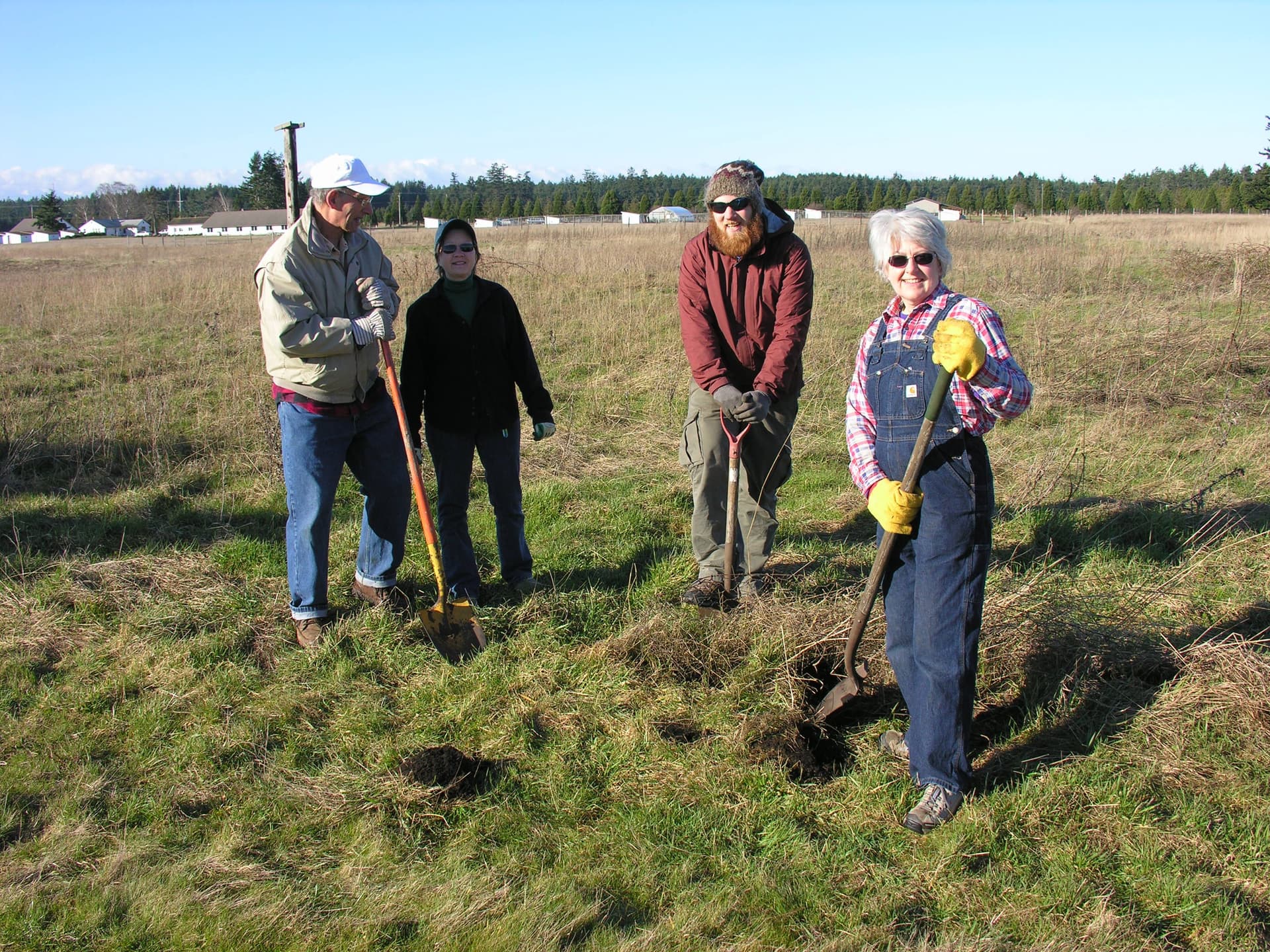
That support arrived in a remarkable burst on July 27, 1949, when more than 500 people turned out for a volunteer workday. They came with 3 bulldozers, 9 farm tractors, 34 pickup trucks, 3 wreckers and a team of horses, turning a community commitment into actual park construction.
The details of that day matter because they show how the park came into being. The Parks Commission had agreed to contribute $5,000 if the community proved its commitment through volunteer labor, and that bargain was answered in plain sight. Nearby Stanwood and East Stanwood even proclaimed a State Park Day, merchants closed so employees could help, and the women of the Grange served clam chowder, coffee, sandwiches, cookies, pop and ice cream to keep the work going.

HistoryLink says the South Camano Grange won third prize in a national contest for the effort, which underscores how unusual the build was. This was not a park that appeared because a state agency drew lines on a map and waited; it was built because residents treated shoreline access as something worth organizing around.
How the shoreline grew and why that matters now
The park did not stop evolving after that first volunteer push. In 1958, it expanded with acquisition of an additional Point Lowell tract, extending the park around the point to Elger Bay and adding about 3,000 feet of waterfront. That expansion widened the park’s public shoreline and helped turn it into the broader coast-hugging destination it is today.
The deeper story reaches back further still. The Treaty of Point Elliott was signed on January 22, 1855, and the park history materials connect the shoreline to Indigenous stewardship before later waves of privatization narrowed public access. That larger arc matters because the park’s present-day usefulness depends on the fact that this piece of coast was eventually reclaimed for everyone to use.
The shoreline also sits within a wider regional history that the Stanwood-Camano Historic Sites Tour and related historical materials connect to names such as George Vancouver, Chief Seattle, Isaac Stevens, Patkanim, Chow-its-hoot, Otto A. Case and Tami Douglass. Those names place the park inside the broader history of the Salish Sea, where exploration, treaty-making, settlement and local organizing all shaped who could reach the water and under what terms.
For present-day visitors, though, the meaning is concrete. Camano Island State Park gives Island County a public beach with campsites, cabins, a group shelter, a day-use point at Lowell Point and a shoreline that still reflects the local effort that created it. The park’s best feature is not just its views, but the fact that residents built the access themselves and still use it that way.
This article was produced by Prism’s automated news system from verified source data, official records, and press releases, then run through automated quality and moderation checks before publishing. The system is built and supervised by the people who set the standards it runs under. Read our full AI policy.
Did this article answer your question?