Deception Pass State Park reveals Island County's deep history and outdoors
Deception Pass is Island County’s richest outdoor classroom, where volcanic rock, salmon habitat, tribal history and CCC engineering meet in one park.

Deception Pass State Park is more than the bridge people photograph on the drive to Whidbey Island. It is one of Island County’s clearest places to read deep time on the landscape, then trace how Coast Salish history, federal public works, and modern recreation all settled into the same ground. Stand at the cliffs, the tide flats, or the old CCC structures and the park stops feeling like a scenic stopover and starts looking like a layered map.
Stone, ice and the shape of the pass
The park’s dramatic rock forms come from a long geologic chain that visitors can still see in the cliffs and headlands around Rosario Head and Goose Rock. Washington State Parks says much of the rock began as ocean-floor material, including pillow basalts, chert, shale and graywacke, before tectonic forces pushed it upward and glaciers later polished it into the rough-edged shoreline visible today. That is why Deception Pass feels so different from a typical beach park: the place is built from ancient seabed, then carved again by ice.
Those same forces help explain why the park gives you so many contrasting views in a short walk. One trail can lead from exposed ocean cliffs to quiet forest, and another can move from wind-scoured rock to sheltered water where the tide changes shape by the minute. Washington State Parks describes the park as having rugged ocean cliffs and quiet old-growth forests, a combination that makes the geology easy to compare with the living landscape around it.
A Coast Salish place first
Long before the bridge, the land and water around Deception Pass were part of Coast Salish territory and use. Washington State Parks says the park lies within the traditional territory of Coast Salish peoples whose present-day descendants include members of the Samish Indian Nation, Swinomish Indian Tribal Community, Lummi Nation, Upper Skagit Indian Tribe, Jamestown S’Klallam Tribe, Port Gamble S’Klallam Tribe, Lower Elwha Klallam Tribe and Tulalip Tribes. The 1855 Treaty of Point Elliott preserved tribal rights to harvest natural resources in usual and accustomed places, including the waters of Deception Pass.
Salmon sit at the center of that history. State park materials note that salmon were central to Coast Salish diet and culture, and that Indigenous fishers used weir nets woven from willow and cedar bark. That history is not abstract here, because the park’s nearshore waters still show why the place mattered. Cornet Bay is described by the Northwest Straits Foundation as a protected, shallow-water pocket estuary that historically served salmon fry migrants and other small fish, while Washington State Parks also points to eelgrass meadows in Cornet Bay and Bowman Bay as protected habitat where young fish build strength for the journey to open water.

Kiket Island adds a current stewardship chapter to that older story. Washington State Parks identifies the Kiket Island preserve as the newest state park property at Deception Pass and says it is co-owned and co-managed by the Swinomish Indian Tribal Community and Washington State Parks. That arrangement makes the park more than a place to learn about tribal presence in the past. It is also a place where contemporary co-stewardship is visible on the shoreline.
From military reservation to CCC landmark
Deception Pass’s public history is just as layered as its natural history. Much of today’s Deception Pass, Skagit Island and Hope Island park lands began as a military reservation on Sept. 22, 1866. Washington State Parks says the land became a public park in 1922, beginning the shift from strategic reservation to public recreation area.
The Civilian Conservation Corps left the strongest built signature on the park during the Great Depression. State park history says CCC members built roads, trails, buildings and log railings, and also helped prepare roadways for the Deception Pass Bridge by blasting rock and drilling powder charges by hand. That work tied the landscape to New Deal labor and to the engineering needed to carry automobiles across the pass. The Deception Pass and Canoe Pass bridges were dedicated on July 31, 1935, and local accounts say about 12,000 people watched the opening.
The Bowman Bay CCC Interpretive Center keeps that era visible. Washington State Parks says the building was constructed in the 1930s as a CCC bathhouse and renovated into a museum in 1987 by CCC alumni and state parks staff. Inside, the center now features photos, artifacts and video from CCC projects across Washington and the United States, turning a once-routine utility building into one of the park’s best history stops.
What to look for on the ground
Deception Pass works best when you treat it as a series of field lessons rather than a single overlook. The park has nearly ten miles of trails, and its official pages point to several places that help visitors connect the dots between geology, habitat and history.

- At Rosario Head and Goose Rock, look for the hard, layered rock that reflects the park’s ocean-floor origins and later uplift.
- At Bowman Bay, the CCC Interpretive Center explains how 1930s public works shaped the park visitors use today.
- At Cornet Bay, the protected water and eelgrass habitat show why shallow nearshore areas matter for young salmon and other fish.
- At Hoypus Point, the old-growth forest trails give a quieter counterpoint to the exposed cliffs and bridge views.
- At Kiket Island, the preserve and its co-management with Swinomish show what modern stewardship looks like alongside older tribal ties.
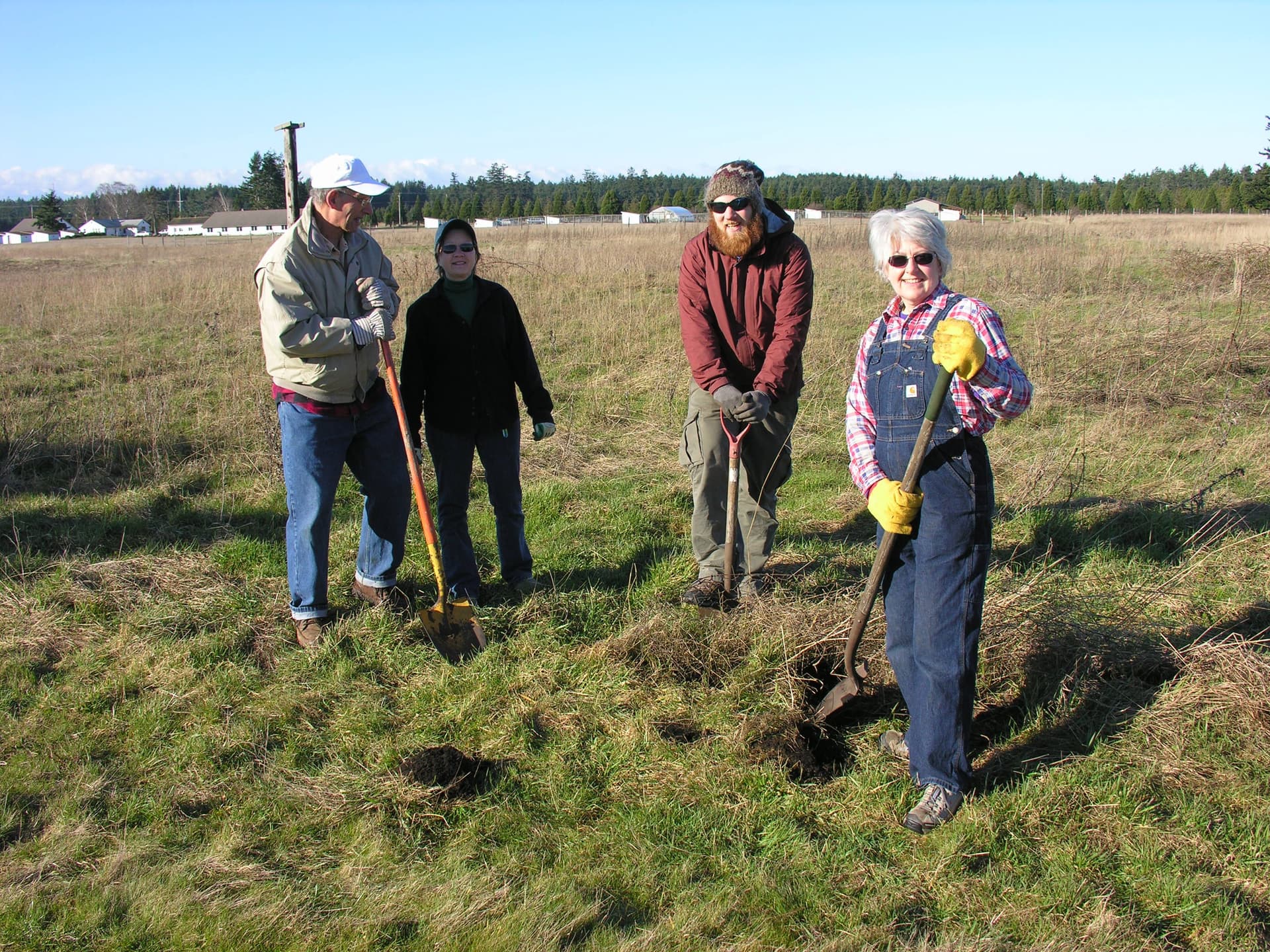
The park also supports boating, camping, tide-pooling and wildlife viewing, so the experience changes with the tide, the season and the weather. That variety is part of the park’s value: one visit can show you a cliff, a forest, a salmon nursery and a federal-era museum without leaving Island County.
How to plan a visit now
Deception Pass is a heavily used park, and Washington State Parks says conditions can change quickly. The official park page notes a washout on part of the West Beach ADA Trail and seasonal or partial closures, so it is worth checking access before heading out, especially if your trip depends on a specific trail or shoreline stop.
Parking and launches also have clear fee rules. Day-use parking requires a Discover Pass, which costs $10 daily or $45 annually. Boat launch use is typically $7 per day. Those fees matter because the park is not just scenery; it is infrastructure, habitat and a working public space that needs upkeep to stay open.
That combination is what makes Deception Pass so useful to Island County. It is a place where the rock underfoot, the salmon water below, the CCC railings beside the trail and the tribal rights that still shape the shoreline all belong to the same story. Few sites in the county make that history visible so plainly.
This article was produced by Prism’s automated news system from verified source data, official records, and press releases, then run through automated quality and moderation checks before publishing. The system is built and supervised by the people who set the standards it runs under. Read our full AI policy.
Did this article answer your question?