Ebey’s Landing reserve preserves Coupeville’s history and rural landscape
Ebey’s Landing protects 17,572 acres of central Whidbey as a working landscape, keeping Coupeville’s history, farms and rural edge from becoming just scenery.
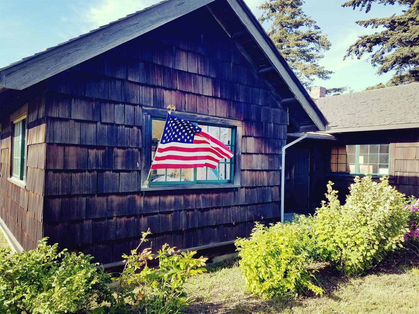
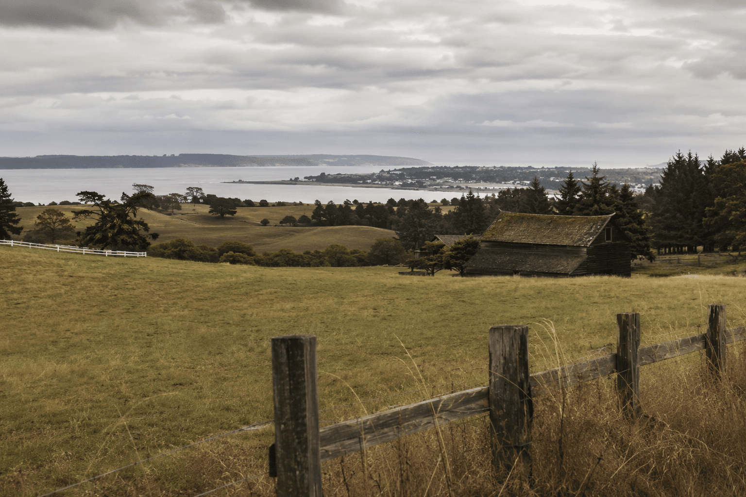
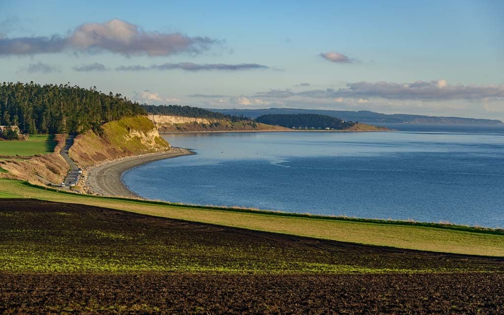
Ebey’s Landing is where Island County can still see what gets lost when a place is reduced to a view. The reserve is not a museum shell and not a blank canvas for subdivision, but a lived-in landscape where Coupeville, Penn Cove, farms, and historic land patterns still fit together. That mix is the point: if the land stops working, the county loses the very balance that makes central Whidbey feel like central Whidbey.
A reserve built to keep a community alive
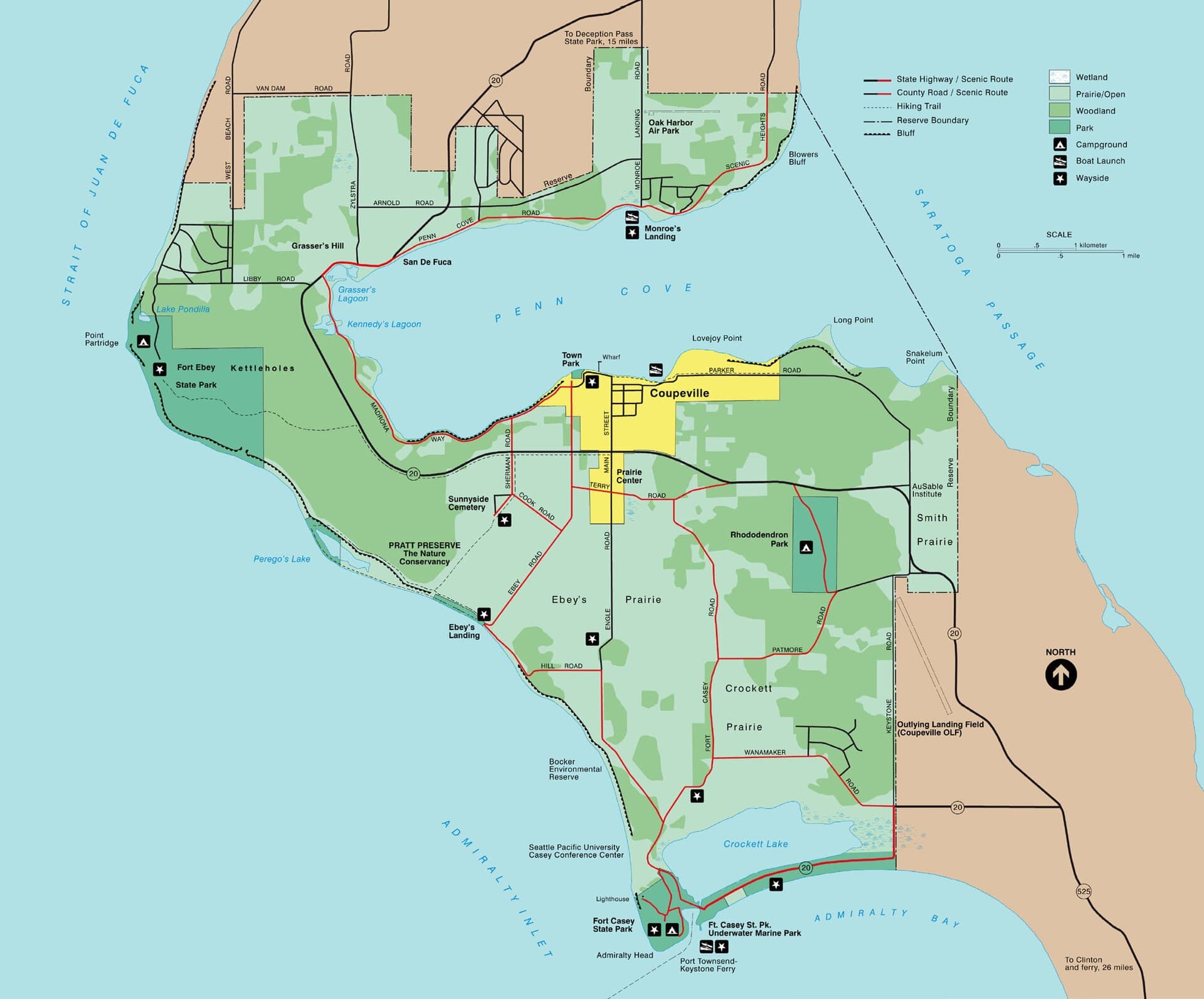
Ebey’s Landing National Historical Reserve is the only National Historical Reserve in the National Park System, and Congress created it in 1978 through the National Parks and Recreation Act. The reserve covers 17,572 acres on central Whidbey Island and integrates historic farms, a seaside town, native and pioneer land-use traditions, and ecologically significant areas. It sits around Penn Cove, about 27 miles north of Seattle and 50 miles south of the Canadian border, but its value is local first: it keeps a stretch of Island County from becoming ordinary.
The National Park Service describes the reserve as a nationally unique unit because it works differently from most federal parklands. This is not a place where the federal government bought up the land and locked it away. It is a rural community that still has to function, which means homes, farms, roads, and public access all remain part of the picture. The result is a landscape that looks preserved because people continue to live and work in it, not because it has been emptied out.
Why the boundaries look the way they do
The reserve did not begin at its current size. It originally encompassed only the 8,000-acre Central Whidbey Historic District before expanding to 17,572 acres. Its boundaries mirror the Central Whidbey Island Historic District established in 1973, and those lines were shaped by settlement patterns tied to the Public Lands Survey Act of 1850, also known as the Donation Land Claim Act.
That history matters because it explains why the reserve is organized around land use rather than scenery alone. The mission, as described by HistoryLink, is to preserve, protect, manage, and interpret much of Central Whidbey Island, from the historic town of Coupeville to the westward donation claim of pioneers Isaac and Rebecca Ebey. In other words, the reserve protects a pattern of settlement and ownership as much as a set of views.
Coupeville sits at the center of that story as the only town within the reserve. It is also described as one of Washington’s oldest towns, and many of its buildings remain much as they were a century ago. That continuity is part of the attraction, but it is also the burden of stewardship: any new development, road change, or land conversion has to be judged against a historic landscape that still reads as a town and working countryside, not just a heritage district on paper.
How the partnership works
Ebey’s Landing is held together by a model that relies on a Trust Board, local participation, and National Park Service support rather than a single top-down management system. The park service says the reserve uses creative conservation alongside contemporary planned development, which is the practical answer to a hard question Island County keeps facing: how do you let a place evolve without erasing the rural form that defines it?
The Trust Board’s public schedule makes that process visible. Workshops are held the second Wednesday of each month from 10:00 a.m. to noon, and regular meetings are held the fourth Tuesday of each month from 3:00 p.m. to 5:00 p.m. at the Pacific NW Art School in Coupeville and virtually via Zoom. Those meetings matter because the reserve is still being managed, not archived. A 2020-2025 strategic plan grew out of an April 2019 planning exercise funded by the National Park Service Pacific West Region and facilitated by Robert Steelquist.
The framework is still evolving. The reserve is seeking survey responses for an update to its guidelines, a reminder that this place is not frozen in time and not left to chance either. Every layer of that process, from workshop to planning plan to guidelines, exists to keep working land, public access, and historic character from pulling apart.
What the model protects on the ground
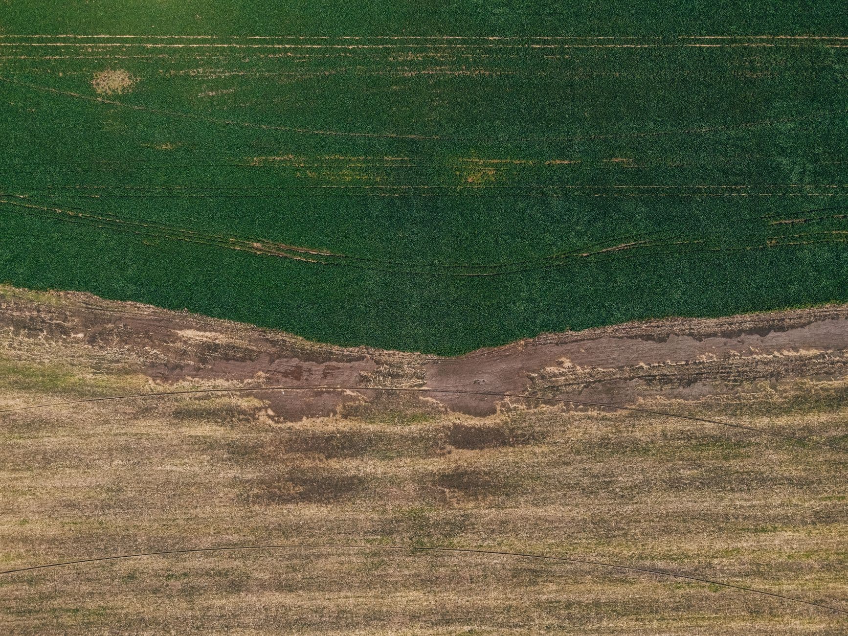
The clearest evidence that the reserve still functions as a working landscape is Engle Farm. The Trust for Public Land says it helped conserve a total of 414 acres there after six years of work. That is not just a conservation headline. It is the kind of land protection that keeps acreage from being carved into smaller lots and keeps the rural edge of central Whidbey intact.
This is where the tradeoff becomes real for Island County. A reserve that treated the land like a museum would preserve facades and views, but it would drain the daily life that gives the place meaning. A reserve that treated it like a development opportunity would offer easier short-term change, but it would strip away the open farm ground, the historic land pattern, and the sense that Coupeville is still connected to the countryside around it.
The working landscape model asks residents to accept ongoing negotiation. Farms stay active, but they operate inside a protected framework. Historic character stays intact, but local planning has to account for it. Public partners, private landowners, and conservation groups all have a role, which is why the reserve can feel both sturdy and fragile at the same time.
What Island County keeps if the reserve keeps working
Ebey’s Landing gives Coupeville and central Whidbey something rare in the Pacific Northwest: a place where history is not separated from everyday use. The National Park Service’s broader management approach, the Trust Board’s monthly work, and private conservation efforts like the one at Engle Farm all help hold that line.
If the reserve ever stopped being a working landscape, Island County would not just lose open space. It would lose a settlement pattern, a farming economy, and the rural frame that makes Coupeville’s history legible. What remains valuable here is not only that the land is protected, but that it is still being used in ways that keep the story alive.
This article was produced by Prism’s automated news system from verified source data, official records, and press releases, then run through automated quality and moderation checks before publishing. The system is built and supervised by the people who set the standards it runs under. Read our full AI policy.
Did this article answer your question?