Fort Casey’s bluff location reveals its military and cultural history
Fort Casey’s bluff was chosen to control Puget Sound, and the batteries, lighthouse, and open parade ground still make that military logic visible today.
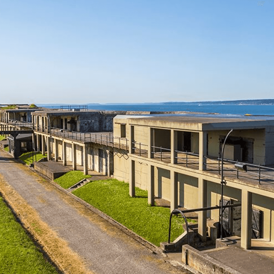
Fort Casey still matters because its bluff was chosen for control, not scenery. On Whidbey Island, the concrete batteries, lighthouse, and wide open ground show how the U.S. Army tried to guard the entrance to Puget Sound, and why Island County’s story is inseparable from the water.
Why the bluff mattered
Washington State Parks describes Fort Casey Historical State Park as a U.S. Army defense project from the beginning of the 20th century, built on a high bluff at the entrance to Puget Sound. That location was the point: the fort sat where ships moving through Admiralty Inlet and the Strait of Juan de Fuca could be watched and, in theory, fired upon. In military terms, the bluff was a platform; in local terms, it is one reason Coupeville and the surrounding shoreline still carry such a visible military imprint.
The same state history page also places the site in a much older landscape. The islands, waterways, and mountain ranges visible from the bluff have drawn people here for millennia, and the park’s history is rooted in Indigenous lands and settlement as well as later military use. That wider frame matters because Fort Casey is not simply an old fort on a hill. It sits inside a long human geography that predates the Army by thousands of years.
What visitors can still see on the ground
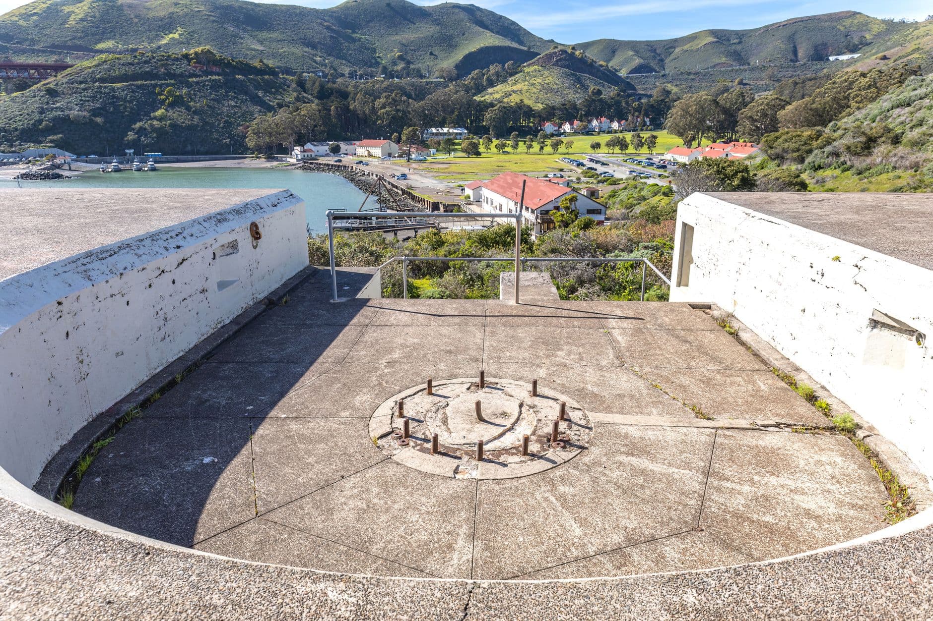
The fort’s military design is still easy to read in the landscape. Visitors can walk among concrete batteries, gun emplacements, and the open spaces that once served the fort’s daily operations, all of which reflect the logic of early coastal defense. The site’s broad, exposed plan leaves little doubt about why engineers wanted a commanding view over the water.
Fort Casey’s name also carries institutional history. It was named for Brig. Gen. Thomas L. Casey, the U.S. Army’s chief engineer, and Coast Defense Study Group records place its military years from 1890 to 1953. The fort belonged to the Endicott-era coastal-defense system, the national buildout that fortified strategic harbors as the United States worried about attack from the Pacific. That history is visible not just in the concrete, but in the way the park still occupies a hard-edged military footprint above the shoreline.
The site’s setting also links it to other installations across the region. Fort Casey was one of the three forts in the Puget Sound “Triangle of Fire,” along with Fort Worden and Fort Flagler. Read together, those forts explain how the Army tried to create overlapping lines of defense across the Sound rather than rely on a single battery or harbor.
Admiralty Head Lighthouse and the changing coast-defense era
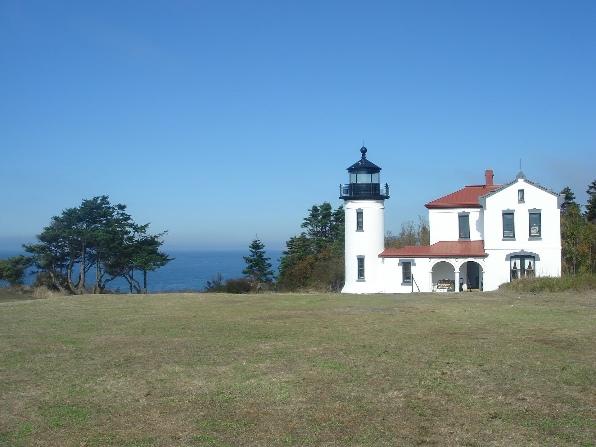
The lighthouse on the bluff gives the park its most recognizable silhouette. Admiralty Head Lighthouse went into service in 1903, during the same period that coastal defense technology was changing quickly and naval planning was becoming more technical. It was later discontinued, with records differing on whether that happened in 1922 or 1927, a reminder of how quickly one era of maritime safety and defense gave way to another.
Washington State Parks says Admiralty Head Lighthouse reopened in April 2024 with new exhibits. That reopening matters because it shifts the site from a static relic into an interpretive space where the military and civilian history can be read together. A 2024 request for qualifications also sought design services for exterior ADA improvements and an interpretive experience plaza, a sign that the state continues to invest in access and public understanding rather than simply preserving the structure behind a fence.
The lighthouse is part of the same historic landscape as the fort itself, and together they tell a clean story about technology, navigation, and power. One structure helped ships find their way; the other helped guard the route they used. Standing on the bluff, you can see how the same geography served both purposes.
How Fort Casey fits the larger Island County landscape
Fort Casey is not an isolated state park. It sits within or adjacent to Ebey’s Landing National Historical Reserve, which the National Park Service treats as part of a broader historic and cultural landscape on Whidbey Island. That federal context expands the meaning of the site beyond military history and into the layered story of settlement, land use, and preservation that shapes the central island today.
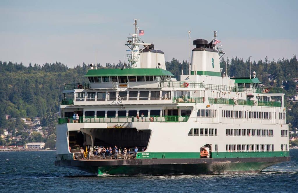
The park’s everyday role also helps explain why it remains important to Island County. Fort Casey State Park is described in tourism materials as a 467-acre marine camping park about 3 miles from Coupeville and next to the Coupeville Ferry Terminal. People still arrive for camping, hiking, beachcombing, scuba diving, and boating, which means the same bluff that once supported artillery now supports public recreation and coastal access.
That mix of uses is part of the site’s value. A place that once existed to close off the Sound now gives residents and visitors a place to look out over it, walk its edge, and read the region’s history in the ground itself. The fort’s batteries, the lighthouse, the ferry terminal, and the view toward the islands and the Olympic Mountains all sit in one frame, making Fort Casey one of the clearest places in Island County to see how defense, navigation, and public landscape became one story.
What gives the site its lasting value
Fort Casey remains relevant because it shows how geography shapes government decisions and community identity at the same time. The Army chose the bluff because controlling the waterway mattered, and the park still makes that choice visible in concrete, sightlines, and surviving structures. At the same time, Washington State Parks has treated the site as a place for interpretation, access, and public use, not just preservation.
That combination is why Fort Casey still belongs in the center of Island County’s story. The fort explains how Puget Sound was defended, the lighthouse explains how the coast was navigated, and the bluff explains why this part of Whidbey Island was never just scenery.
This article was produced by Prism’s automated news system from verified source data, official records, and press releases, then run through automated quality and moderation checks before publishing. The system is built and supervised by the people who set the standards it runs under. Read our full AI policy.
Did this article answer your question?