Island County maps 54 parks, trails in new web tools
Island County’s new maps make 54 parks easier to use by trip type, while county plans show how beach access, trails and habitat land will be managed for decades.
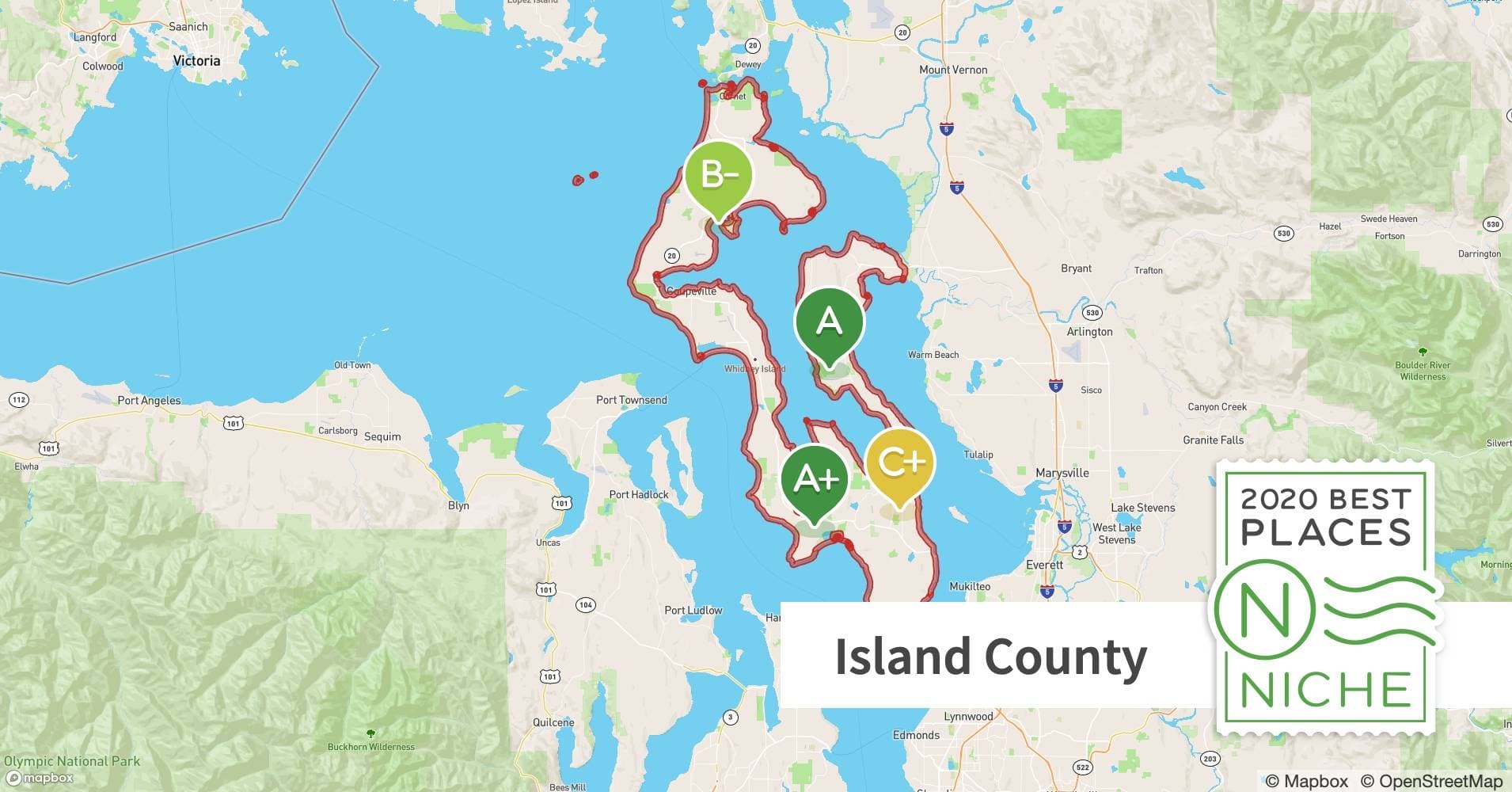
Island County’s Park Finder and ICGeoMap let residents sort 54 parks and trails for beach access, off-leash space, boat ramps, long hikes, horseback riding or a reservable picnic site before they leave home. These lands are managed through Island County, while the broader comprehensive plan ties parks to land use, habitat protection and long-range growth decisions.
Find the right park by the outing you actually want
The county’s most useful parks are the ones that solve a specific errand, not just fill a blank square on a map. If the goal is a beach walk with room to let a dog run, Double Bluff in Freeland is the clearest fit, with off-leash access, iconic views and a wide shallow shoreline. If the day calls for a boat launch, a dock and a place to sit down afterward, Freeland Park offers a boat ramp and dock for non-commercial use, picnic space, a playground, restrooms, a pavilion and clamming when in season.
For a bigger trail day, Kettles Trails near Coupeville stands out because it gives more than 30 miles of trails across nearly 900 acres of glacial kettles and dense forest. Access points off SR 20 and from Fort Ebey State Park make it a useful option for people who want a long hike without having to guess where to start. Barnum Point on Camano Island serves a different need: 166 acres of trails, beach access and views in one stop.
A few county sites are built for mixed use, family gatherings and longer stays. Maxwelton Park in Clinton includes beach access, a ballfield and grandstand, picnic shelters, a concession stand and wide water-and-mountain views. Maxwelton also has a restroom facility with a shower and dog wash, three picnic shelters and a group picnic shelter area with a brick-stove barbecue, which makes it one of the system’s more versatile gathering spots. Putney Woods in Langley covers another use entirely, with 600 acres of trails for hikers, horseback riders and mountain bikers, plus hunting in season.
- Beach and dog walk: Double Bluff in Freeland
- Boat ramp, dock and picnic stop: Freeland Park
- All-day hiking: Kettles Trails near Coupeville
- Horseback riding and mountain biking: Putney Woods in Langley
- Family beach and field day: Maxwelton Park in Clinton
- Camano shoreline access: Barnum Point
How Island County organizes the system
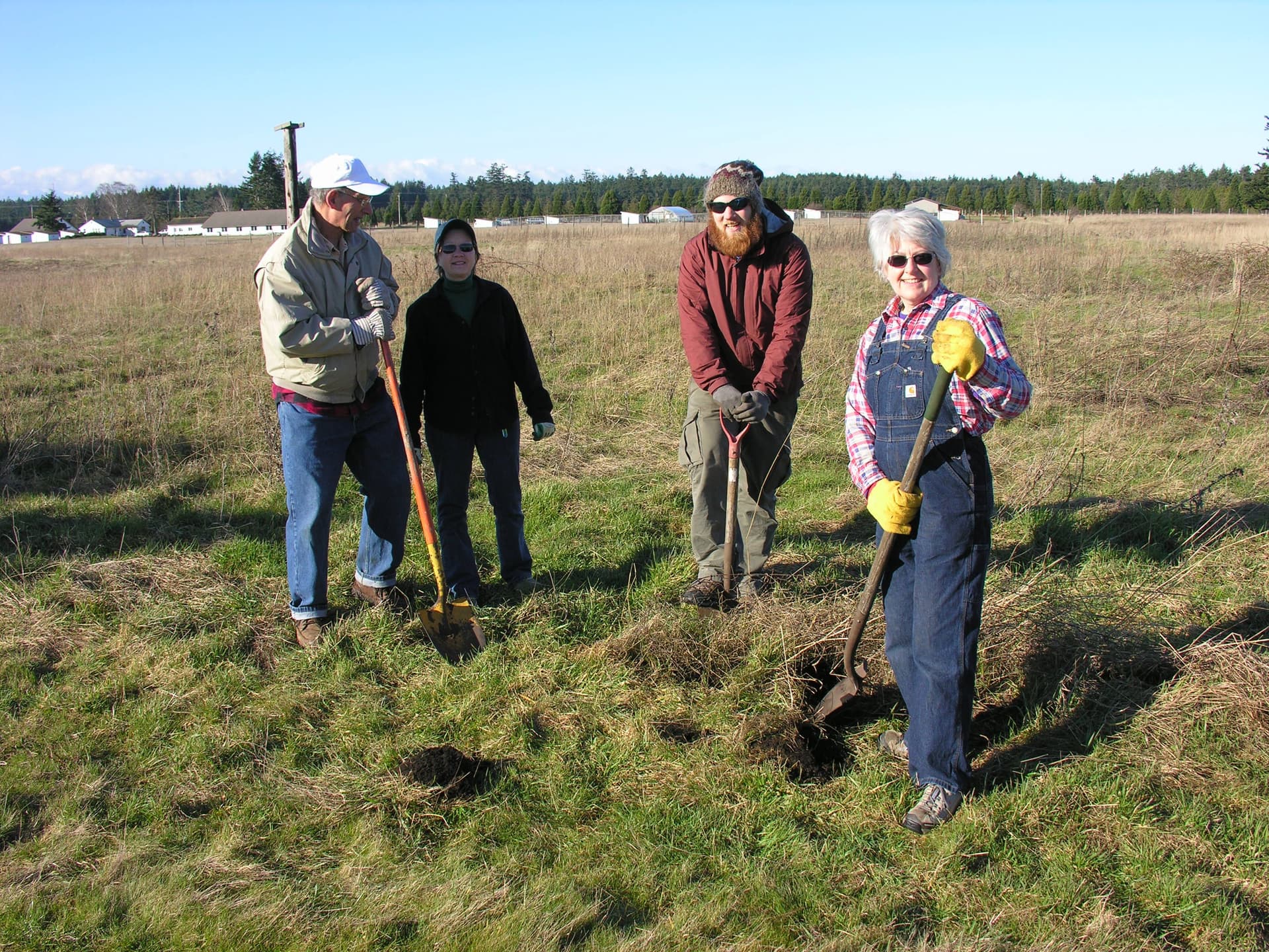
Island County Public Works classifies the park system into 29 community parks, 13 conservation sites, 11 natural recreation sites and seven shared-use trails. The Parks and Recreation Department manages 54 park facilities on Whidbey and Camano islands, so the first place to look for county park rules, maintenance questions and site-specific closures is the county itself.
The Park Finder web map and ICGeoMap help residents search by location and layer dozens of map layers and attributes before leaving home. Island County’s Trail Maps page adds downloadable maps for Four Springs, Greenbank Farm, Kettles Trails, Putney Woods, Rhododendron Park and Saratoga Woods.

The system supports athletic teams, hikers, equestrians, mountain biking, boating, fishing, weddings, meetings and conferences, along with beach and fishing access, hand-carry and boat-launch ramps, off-leash areas and dog parks, picnic facilities, courts and fields, outdoor event spaces and meeting facilities. In practice, that means a beach access site, a trail corridor and a reservable gathering place may all sit in the same county system while serving very different purposes.
What the planning documents control
The county’s Comprehensive Plan provides long-range policy direction for land use, transportation, economic development, housing, capital facilities, utilities, parks and recreation, and the natural environment. The Board of County Commissioners adopted the county’s 2025 Comprehensive Plan update on June 23, 2026, which places parks inside the same planning framework that guides roads, utilities and development decisions.
Island County’s Parks and Recreation Element was first adopted in 1998, and the county’s 2016 parks plan put the unincorporated county’s existing level of service at 2.9 acres of park land per 1,000 residents when that element was first adopted. The new Parks Plan guides development and management of parks, recreation, open space and habitat lands from 2025 to 2045, so the county is now setting the terms for acquisition, maintenance and funding over the next 20 years.
The updated Parks, Recreation and Open Space plan is required to maintain eligibility for certain state and federal grant programs under the county’s SEPA determination.
Who shapes conservation and future access
Island County’s Conservation Futures Program is the county’s preservation tool for open space, timberlands, wetlands, habitat areas, culturally significant sites and agricultural farmlands. Annual grant applications are reviewed and ranked by a Citizens Advisory Board and county staff, which gives the public a formal role in deciding which lands are most worth protecting. On July 10, 2024, county commissioners discussed updating Conservation Futures project evaluation criteria to integrate environmental justice and health equity.
The county also opened a 45-day public comment period for revised comprehensive-plan goals and policies from May 30 to July 14, giving residents a window to shape the park and habitat system before the next round of decisions hardens into policy.
This article was produced by Prism’s automated news system from verified source data, official records, and press releases, then run through automated quality and moderation checks before publishing. The system is built and supervised by the people who set the standards it runs under. Read our full AI policy.
Did this article answer your question?