Kauai Faces Flash Flood Risk as Tropical Moisture Returns Midweek
Wailua River and Hanalei Bridge face renewed flood pressure Wednesday through Friday under a Flash Flood Watch, after March Kona lows left a 285,750-gallon spill and saturated soils on Kauaʻi.
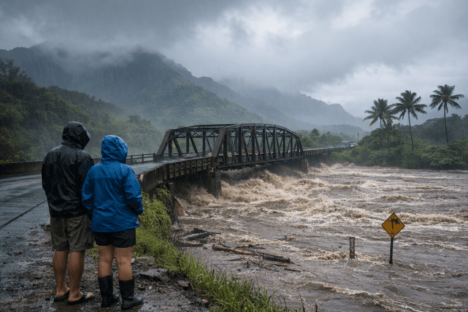
A deep-moisture trough organizing northwest of the Hawaiian Islands prompted the National Weather Service to issue a Flash Flood Watch for Kauaʻi from Wednesday morning through Friday afternoon, placing the Wailua River and the Hanalei Bridge corridor on alert as early as tonight.
The timing is precarious. Back-to-back Kona-low events in March left island soils saturated, triggered a 285,750-gallon wastewater spill on Kauaʻi, and forced road closures across multiple communities before the month was out. Those same antecedent conditions now magnify the risk. NWS forecasters warned in the Area Forecast Discussion that any period of higher rainfall rates could quickly lead to enhanced runoff, renewed rises in streams and reservoirs, and localized flash flooding concerns.
NWS meteorologist Cole Evans said rains are expected to arrive daily from Tuesday into at least the first half of next week. Instability builds Tuesday night, with enhanced showers reaching Kauaʻi late evening. The pattern intensifies Wednesday as a deep layered trough draws abundant moisture northward, bringing the potential for heavy rain and thunderstorms leading to flash flooding. Communities north and east of steep mountain slopes carry the greatest exposure. Landslides are possible in areas of steep terrain.
Two corridors bore the greatest burden during the March storms and face renewed pressure this week. Emergency crews closely watched the Wailua River after water levels rose overnight, while officials monitored flooding near the Hanalei Bridge along Kūhiō Highway. The road could close with little warning if conditions worsen. Hoʻone Road and Kūʻai Road in Poʻipū closed because of flooding. Puolo Road in Hanapēpē closed for debris cleanup. Those same roads are among the first to become impassable when runoff concentrates in low-lying corridors.
The Kauaʻi Bus 900/950 Express route was suspended during the March flooding, though other bus routes operated when weather allowed. County facilities including Wailuā Golf Course, Kapaʻa Swimming Pool, transfer stations, and the Kekaha Landfill closed during that event, with county officials assessing conditions each morning before making final determinations on services. Parents planning school pickups and businesses coordinating deliveries should account for similar disruptions if heavy rain develops Wednesday or Thursday.
Rapid runoff from saturated hillsides carries sediment and contaminants into nearshore waters, prompting Department of Health sampling near stream mouths and potential localized advisories for ocean users. Brown-water conditions are common along the east and north shores following significant rainfall.
Sign up for county emergency alerts through the Kauaʻi Emergency Management Agency and monitor updated forecasts from the National Weather Service Honolulu office at weather.gov/hfo, which issues watches and warnings as conditions evolve. Clear household drains before the rain intensifies tonight, do not drive through standing or flowing water, and prepare for service interruptions that could extend into the weekend.
Models diverge on how long the rain persists, with some keeping the moisture axis anchored over the state well beyond Friday. The extended window makes this the island's most consequential flood threat since the March Kona lows reshaped recovery timelines across every affected community.
This article was produced by Prism’s automated news system from verified source data, official records, and press releases, then run through automated quality and moderation checks before publishing. The system is built and supervised by the people who set the standards it runs under. Read our full AI policy.
Did this article answer your question?