Kauai pushes fire-resistant home rules for new developments, insurers
Kauai is weighing fire-hardening rules for more than 2,000 planned homes as planners say modest upfront costs could ease wildfire and insurance headaches later.
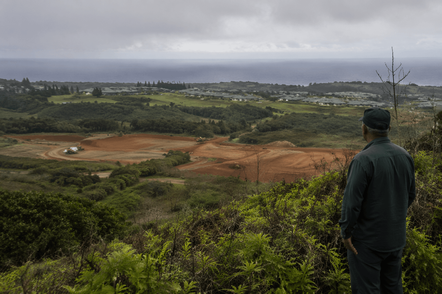
Kauai County is moving to require fire-resistant features in more than 2,000 planned homes in Līhue, Waimea and Kīlauea, with Bill 2998 set for a County Council public hearing on Aug. 12, 2026. Planning Director Kaāina Hull is leading the effort, which would add only slight construction costs while making new neighborhoods harder to burn and potentially easier to insure.
The 2023 Lahaina wildfire destroyed more than 2,200 structures and killed at least 102 people, while a July 2024 West Side fire scorched 1,000 acres, forced evacuations of 200 homes and closed the highway for hours. USDA Forest Service datasets show Kauai homes face higher wildfire risk than 91% of U.S. counties.
Bill 2998 would apply to the island’s next wave of development over the next 15 years.
In September 2025, Mayor Derek S.K. Kawakami signed Bill 2961, creating Hawaii’s first ordinance to embed wildfire safety standards directly into zoning and permitting for the island’s five privately owned plantation camps. That law requires a five-foot noncombustible zone around homes, defensible space out to 30 feet and low vegetation maintained out to 100 feet.
That earlier ordinance was built with the Hawaii Wildfire Management Organization and Headwaters Economics. Elizabeth Pickett of HWMO called it a landmark for wildfire safety in Hawaii, and state lawmakers later cited Kauai’s work as a model in Senate Concurrent Resolution 181, including for Maui communities facing similar plantation-town wildfire risk.
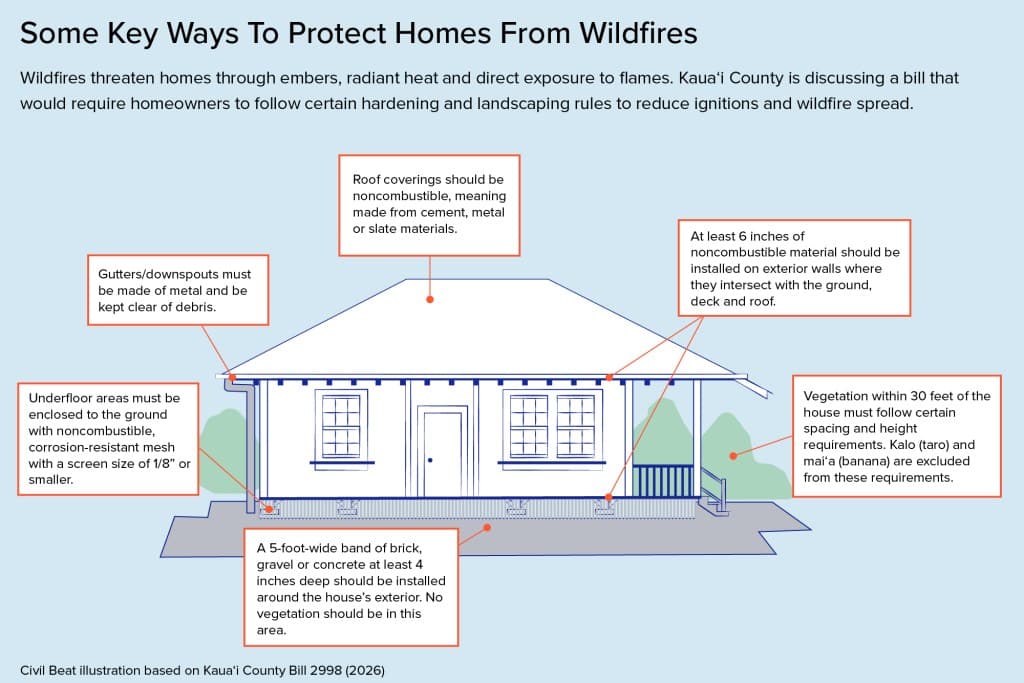
The island’s rules also draw on wildfire research showing embers are a major ignition source, along with a close call in Kaumakani, where a July 2024 fire nearly destroyed homes in a plantation-style neighborhood. Using ArcGIS and form-based codes, planners modeled safer setbacks, buffers and vegetation management in historic plantation camps for larger new developments.
This article was produced by Prism’s automated news system from verified source data, official records, and press releases, then run through automated quality and moderation checks before publishing. The system is built and supervised by the people who set the standards it runs under. Read our full AI policy.
Did this article answer your question?