North Shore forum will focus on hurricane preparedness and safety
North Shore families were urged to review evacuation plans as officials cited a 70% chance of an above-normal hurricane season and updated refuge locations.

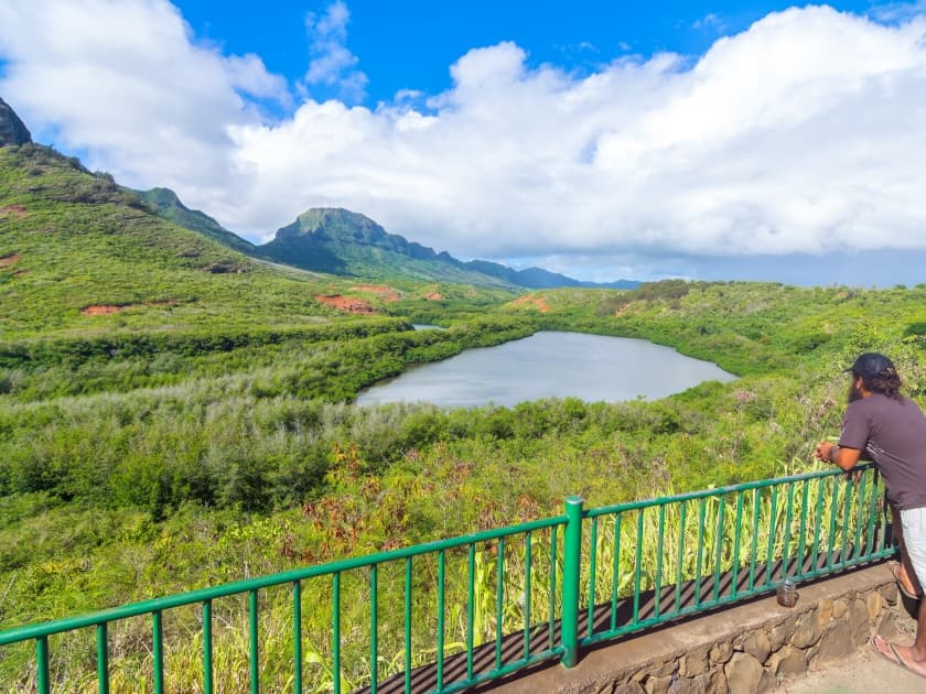
North Shore households were being pressed to check evacuation plans, alert sources and emergency supplies as emergency officials and weather experts gathered for a preparedness forum tied to a 70% forecast for an above-normal central Pacific hurricane season. The warning was straightforward: the season runs through Nov. 30, and on Kauai, a storm can quickly turn a routine supply run into a road, bridge or communication problem for Hā‘ena, Wainiha, Hanalei and other communities up the coast.
The National Weather Service’s 2026 central Pacific outlook called for a 70% chance of an above-normal season, a 20% chance of near-normal conditions and a 10% chance of below-normal activity. Forecasters expected 5 to 13 tropical cyclones in the basin, while the county said a normal season would usually bring four to five named storms. Kauai County said on May 21 that hurricane season began June 1 and would run through Nov. 30, and it stressed that the seasonal outlook is only a broad guide, not a prediction of whether any one storm will hit Hawaii.

The most immediate decisions for residents centered on where to go and how to get there. The Kauai Emergency Management Agency released an updated potential refuge area list on May 27 as a personal preparedness and planning tool, but county shelter guidance said not every refuge area on the list will open during an emergency. When refuge areas are activated, KEMA said it will issue media releases and update the county website. That makes advance planning critical for households that may have to move quickly from low-lying areas or neighborhood roads with limited access.

County emergency materials also point residents toward the North Shore siren network, which includes warning locations in Hā‘ena, Wainiha, Hanalei, Anini, Kalihiwai, Kīlauea and Mōlōaa. The county’s preparedness guidance tells residents to stay tuned to local radio or TV for official weather and civil defense instructions and to secure homes and utilities if advised. For families that keep emergency kits in the garage or under a bed, the forum’s message was clear: confirm supplies now, not after winds rise and roads narrow.
The county has been building that message for months. KEMA says its mission is to protect lives and property by coordinating mitigation, preparedness, response and recovery across government and the private sector. A previous Community Preparedness Forum was announced for Princeville Public Library in July 2025 with North Shore Give, KEMA and CERT, and a Kauai District Health Office survey in June 2024 logged 177 islandwide interviews on preparedness and climate concerns. On the North Shore, where one closed road can isolate entire neighborhoods, the value of that planning is measured long before a storm makes landfall.
This article was produced by Prism’s automated news system from verified source data, official records, and press releases, then run through automated quality and moderation checks before publishing. The system is built and supervised by the people who set the standards it runs under. Read our full AI policy.
Did this article answer your question?