Kootenai County historic sites trace roots from mission to highways
Cataldo Mission, the Clark House and Highway 54 show how tribal history, resort wealth and road building still shape Kootenai County's identity and growth.
Kootenai County’s historic sites are not just preserved landmarks. County history materials say they carry “historical, archeological, and cultural significance” and help define the community’s character and identity, which is exactly why three places, a mission, a lakefront mansion and a highway corridor, still matter in today’s debates over growth, land use and tourism.
Cataldo Mission and Old Mission State Park
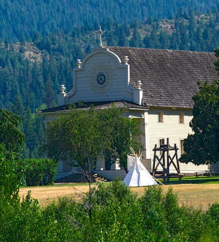
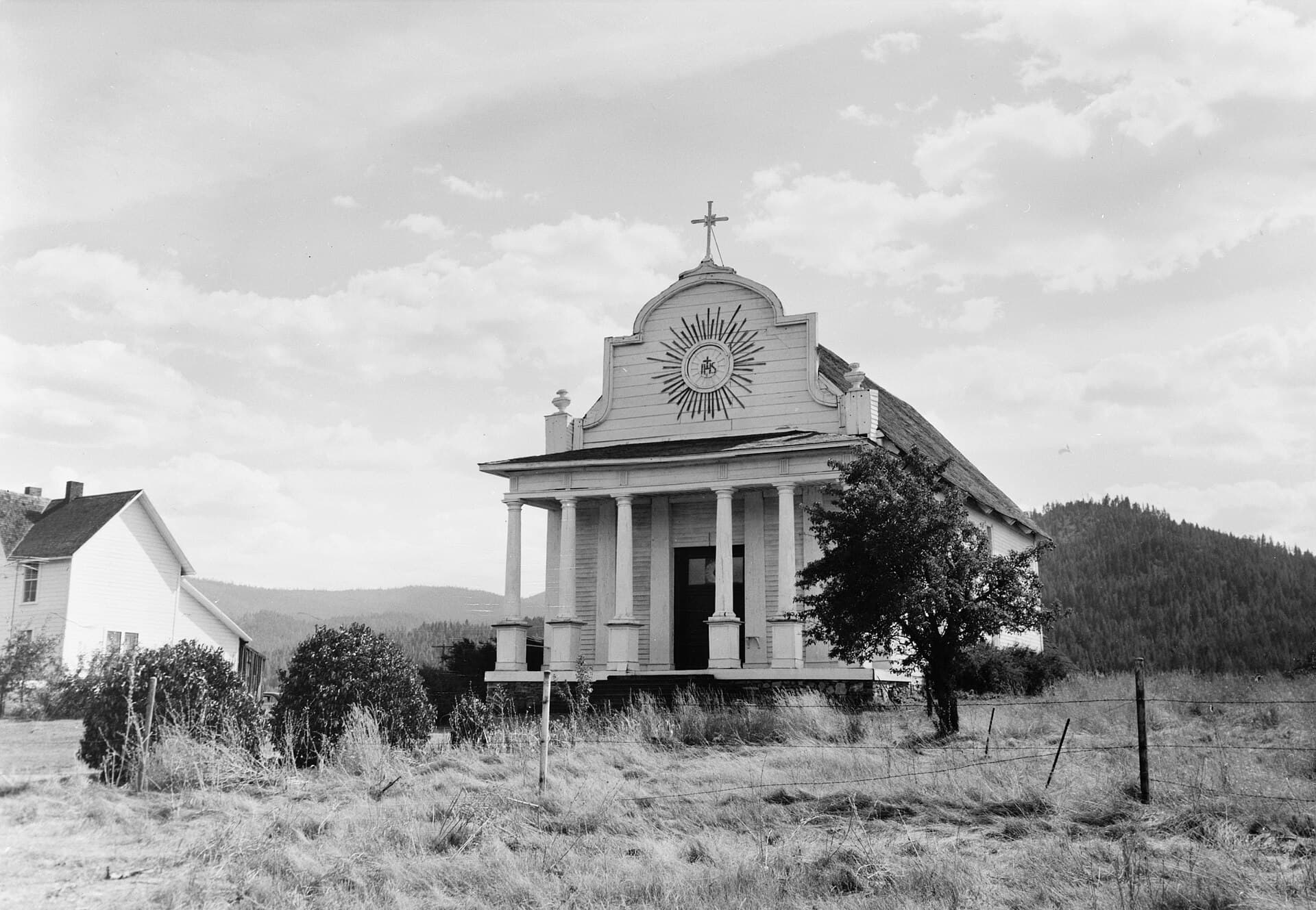
The Old Mission of the Sacred Heart in Cataldo, also known as the Cataldo Mission or Coeur d’Alene Mission of the Sacred Heart, is the county’s clearest link between Indigenous history and the Catholic missionary era. Jesuit Father Nicolas Point established the mission in 1842 on the north shore of Lake Coeur d’Alene, and Jesuit missionaries along with Coeur d’Alene tribal members completed the church between 1850 and 1853.
Verified sources identify it as Idaho’s oldest standing building, which gives the site more than symbolic weight. Idaho Parks and Recreation describes Coeur d’Alene’s Old Mission State Park as Idaho’s only “cultural” state park, and its educational materials frame the site as the story of the Coeur d’Alene Tribe and Jesuit missionaries building a self-sustaining village with minimal tools and supplies.
The mission still carries living tribal meaning. The Coeur d’Alene Tribe makes an annual pilgrimage there on Aug. 15, a tradition tied in tribal history to Chief Circling Raven and his vision of a black-robed man. That annual return keeps Cataldo from becoming a static museum piece: it remains a place where tribal memory, Catholic history and the county’s early settlement story overlap in one visible landmark.
The Clark House and the lakefront age of wealth
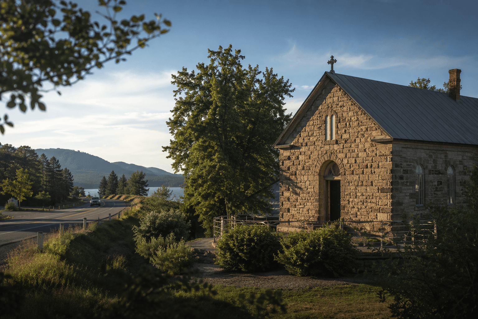
The F. Lewis Clark mansion in Hayden Lake tells a different part of Kootenai County’s past, one shaped by outside money and the transformation of the lakefront into an elite landscape. County materials say Spokane millionaire F. Lewis Clark built the home in 1909, when it was one of the largest and most expensive homes in Idaho.
The scale is part of what makes the house matter. County records list 7 bathrooms, 9 fireplaces and 29 rooms, details that turn the mansion into a concrete measure of early 20th century status and excess. In a county now shaped by residential growth and preservation questions, the Clark House shows how land around Hayden Lake was once claimed by wealth on a scale far removed from the working communities that grew around Cataldo and the railroad and road corridors.
Its continued presence also says something about preservation. A century later, the home remains a historic property tied to Hayden Lake’s identity, and its size and cost still mark the era when lakefront development began to steer the county’s economic geography.
Highway 54 and the county's growth corridor
Highway 54 brings the story into the present. At 15.5 miles, it is the shortest state highway in Idaho, yet it has carried an outsized share of the county’s growth pressure because it connects Athol and Farragut State Park and feeds traffic through a corridor shaped by recreation, commuting and seasonal travel.
Kootenai County says the highway was widened to four lanes in the mid-1960s between Athol and Farragut State Park to handle heavy traffic, a reminder that transportation decisions here have long followed development rather than merely anticipating it. Idaho Transportation Department materials now describe a reconstruction project between Spirit Lake and Athol, and in 2024 the agency began paving improvements east of Athol on SH-54.
That same year, the department halted plans to reconfigure a 3.5-mile stretch of the four-lane section near Farragut State Park into a two-lane facility with a continuous center turn lane. The move underscored how a short road can become a live test of county priorities: access versus congestion, safety versus capacity, and whether a route built for a mid-century traffic pattern can still serve a county still drawing new residents and visitors.
What the three sites reveal together
Taken together, the mission, the mansion and the highway trace three forces that built modern Kootenai County. Cataldo reflects Indigenous presence, missionary contact and heritage tourism. Hayden Lake reflects the era when wealth and resort development reshaped shoreline land use. Highway 54 shows the continuing pressure of growth, park traffic and road reconstruction in a county that keeps changing around its historic core.
That is why these places keep showing up in the county’s identity discussions. They are not only destinations to visit, but evidence of how institutions, transportation routes and economic power helped form the county now being managed through the Kootenai County Comprehensive Plan and other public decisions about where people live, how they move and which histories get preserved.
This article was produced by Prism’s automated news system from verified source data, official records, and press releases, then run through automated quality and moderation checks before publishing. The system is built and supervised by the people who set the standards it runs under. Read our full AI policy.
Did this article answer your question?