Yellowstone Trail reveals Kootenai County’s layered transportation history
Above I-90, the Yellowstone Trail traces a route from Plateau travel to U.S. Highway 10, linking today’s interstate to North Idaho’s earliest road network.

The Yellowstone Trail is easy to miss from the driver’s seat and impossible to ignore once you know what you are seeing. Cut into the hillside above I-90, it marks one of Kootenai County’s clearest transportation layers: an ancient travel corridor, an early auto road, and the modern interstate all stacked across the same landscape.
Where to look for it
Kootenai County’s historic sites page places the Yellowstone Trail above I-90 and describes it as the first highway through North Idaho. The county says the route was “prehistorically established by Plateau groups traveling to the Great Plains,” then rebuilt as a highway between 1914 and 1916. That means the corridor was already functioning as a movement route long before the county’s present-day traffic patterns took shape.
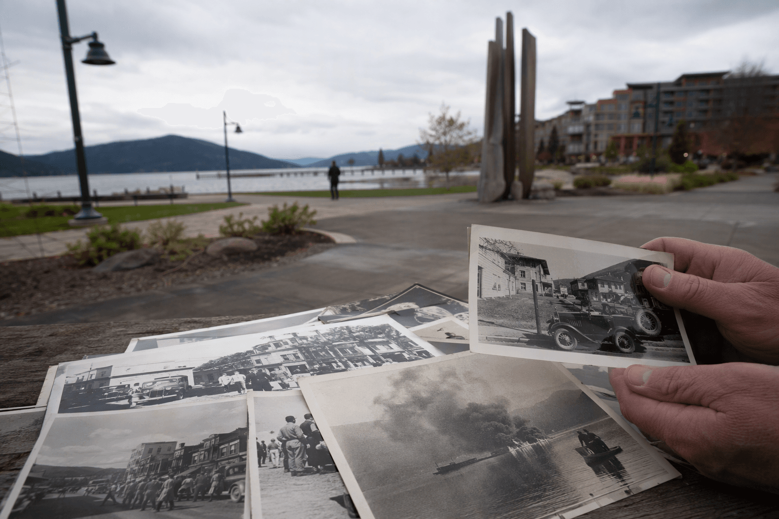
The easiest way to think about it is as a hillside archive. Today’s I-90 carries commuters, freight, and vacation traffic across the county. Just above it, the Yellowstone Trail follows a line that predates cars, predates federal highway numbering, and still reveals how transport routes shaped settlement patterns in the Inland Northwest.
Why the corridor mattered
The Yellowstone Trail was not just a scenic back road. In Kootenai County’s telling, it was the first highway through North Idaho, a title that matters because highways do more than move vehicles. They determine where businesses cluster, how quickly towns connect, and which parts of a county become familiar travel corridors rather than forgotten edges.
Kootenai County says the Yellowstone Trail followed much of the same route as the Mullan Road, which ties the trail to an even older chapter of regional movement. That overlap helps explain why the corridor mattered so much before the interstate era: the path already linked major destinations and carried traffic across terrain that later road builders kept returning to. In practical terms, the same alignment helped guide development for generations.
A road built on older roads
The Yellowstone Trail’s history in Kootenai County makes the usual idea of a “first road” feel too simple. The county says the route was first established in prehistory by Plateau groups traveling to the Great Plains. Much later, Captain John Mullan and his crew built the Mullan Road between 1859 and 1862. That road stretched 624 miles from Fort Benton, Montana, to Fort Walla Walla, Washington, and the county describes it as the first engineered road connecting the Great Plains with the Northwest.
By the time the Yellowstone Trail was built between 1914 and 1916, it was effectively inheriting a route already shaped by Indigenous travel and by the Mullan Road. Then, in 1926, the Yellowstone Trail was renamed U.S. Highway 10. Each stage left a different imprint, but the geography stayed stubbornly consistent. That is why the corridor still makes sense on the ground today: modern infrastructure often follows the lines earlier travelers already proved workable.
What changed when the automobile age arrived
The Yellowstone Trail took on national meaning beyond Kootenai County as well. Spokane Historical says the route was established in 1912 and carried the motto “Plymouth Rock to Puget Sound,” describing it as America’s first transcontinental highway. That framing helps explain why a local route above I-90 belongs in a county history story rather than a niche roadside footnote.
The Silver Valley connection is especially important. Spokane Historical notes that Interstate 90 in the Silver Valley closely follows the Yellowstone Trail. That direct overlap turns a weekend drive into a visible lesson in transportation history: the interstate did not replace a blank slate. It inherited a corridor that had already served as a prehistoric route, a roadbed for freight and military-era travel, and then an early automobile highway.
How the trail fits Kootenai County today
Kootenai County’s 2024-2034 Historic Preservation Plan gives the route contemporary relevance by setting a mission “to identify, document, and preserve Kootenai County’s significant history and archaeological resources to foster connections between the people and places of Kootenai County.” The Yellowstone Trail fits that mission neatly because it connects physical remains, mapped history, and daily travel habits in one place.
That matters for preservation because transportation history is often the kind of heritage people use without noticing. I-90 is the road many residents rely on every day, but the older route above it still tells a more complicated story about why this corridor developed where it did. When a county can point to prehistoric travel, a 19th-century engineered road, an early 20th-century auto highway, and an interstate all in the same strip of land, it is showing how memory and infrastructure overlap.
A practical way to read the landscape
If you want to understand the Yellowstone Trail as more than a name, treat the corridor like a field guide to local development. The county’s timeline gives the key markers: Plateau travel in prehistory, the Mullan Road from 1859 to 1862, the Yellowstone Trail built from 1914 to 1916, and its 1926 renaming as U.S. Highway 10. Those dates are not just milestones. They map the county’s shift from Indigenous mobility to wagon-era engineering to automobile travel.
The result is one of Kootenai County’s most instructive hidden landscapes. Above the traffic on I-90, the Yellowstone Trail still shows how a single corridor can carry centuries of movement, and why the roads people drive today often have much older roots than the pavement suggests.
This article was produced by Prism’s automated news system from verified source data, official records, and press releases, then run through automated quality and moderation checks before publishing. The system is built and supervised by the people who set the standards it runs under. Read our full AI policy.
Did this article answer your question?