Arizona, California, Nevada advance 2028 Colorado River bridge proposal
Arizona, California and Nevada put a 2028 bridge plan on the table, with more than 3.2 million acre-feet in savings and new stakes for Parker, CRIT and La Paz County.

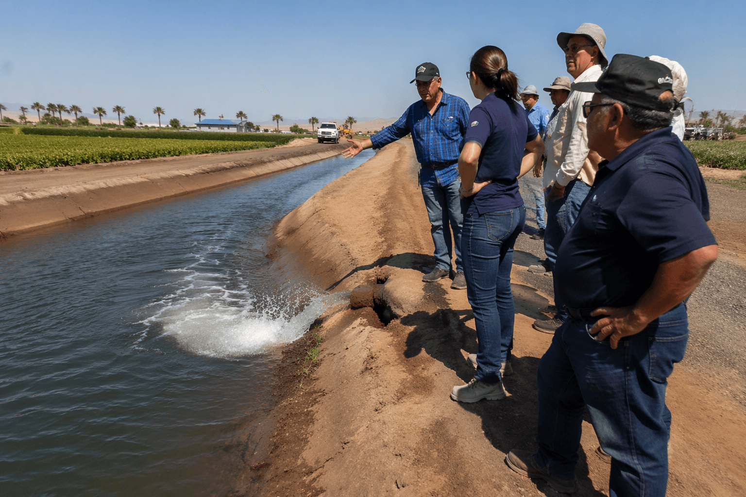
Arizona, California and Nevada have put more than 3.2 million acre-feet of Colorado River savings on the table in a short-term bridge plan meant to steady the system through 2028. For La Paz County, where Parker, Quartzsite and the Colorado River Indian Tribes sit inside the river economy, the proposal points directly to the water reliability questions that shape farms, homes, tribal supplies and local businesses.
The three Lower Basin states advanced the package on May 1 and sent it to the U.S. Bureau of Reclamation as part of the post-2026 process. The plan is built around 1.25 million acre-feet in annual Lower Basin reductions already under discussion, plus an expanded conservation effort expected to generate another 700,000 acre-feet to 1 million acre-feet. It also relies on Lake Powell releases, Upper Initial Unit operations, Intentionally Created Surplus and system infrastructure improvements.

Officials are treating the proposal as a bridge, not a final settlement. That matters because several core Colorado River operating documents are scheduled to expire at the end of 2026, including the 2007 Interim Guidelines and the 2019 Drought Contingency Plans. Reclamation has said a post-2026 operating plan must be in place by August 2026, leaving little time for the basin states to lock in a longer-term framework.

In La Paz County, the stakes are especially concrete. More than 56% of residents live in rural areas, and county land ownership is overwhelmingly public or Tribal: 77% federal, 8% state, 5% private and 10% Tribal. Parker and Quartzsite are the county’s main population centers, and the Colorado River Indian Reservation runs for about 48 miles along the river and extends into California.
The Colorado River Indian Tribes hold a first-priority Colorado River water entitlement, used in part for agriculture. Any shift in Lower Basin rules through 2028 could affect how much certainty tribal leaders, irrigators and water users have while the basin continues negotiating a longer-term deal. That is why the current proposal is being watched not just as a technical river-management document, but as a decision with direct consequences for the corridor that depends on the Colorado River every day.
The bigger question now is how much stability the bridge plan can deliver before the next round of negotiations. Declining reservoir levels, record-low inflows to Lake Powell and the risk that both Lake Powell and Lake Mead could fall to critical elevations are still driving the talks, and the outcome will help define how much water La Paz County can count on through 2028 and beyond.
This article was produced by Prism’s automated news system from verified source data, official records, and press releases, then run through automated quality and moderation checks before publishing. The system is built and supervised by the people who set the standards it runs under. Read our full AI policy.
Did this article answer your question?