Bill Williams River near Parker surges to near-record flood stage
A USGS gauge near Parker saw the Bill Williams River jump 6 feet and crest at 5,000 cfs, just 0.5 feet shy of its historical high.
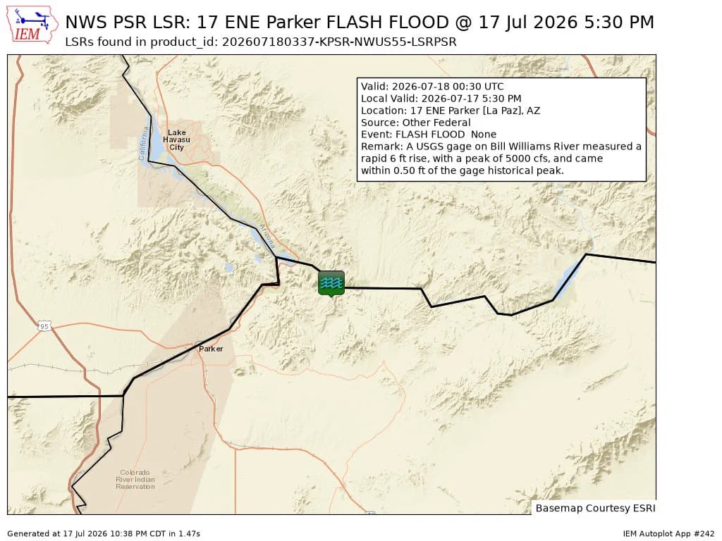
A USGS gauge on the Bill Williams River near Parker jumped 6 feet and crested at 5,000 cubic feet per second, coming within 0.5 feet of the station’s historical peak. The surge turned a normally monitored desert river into an immediate hazard for river access, low-lying crossings, and protected habitat tied to the Bill Williams River National Wildlife Refuge.
The National Weather Service issued flash-flood wording for north central La Paz County at 4:10 p.m. MST on July 17, 2026, after Doppler radar showed thunderstorms dumping heavy rain over the Bill Williams River. The warning said 0.5 to 1 inch of rain had already fallen, with another 0.25 to 1.25 inches possible, a setup that can push water up fast enough to cut off travel and strand people near washes and river corridors around Parker.
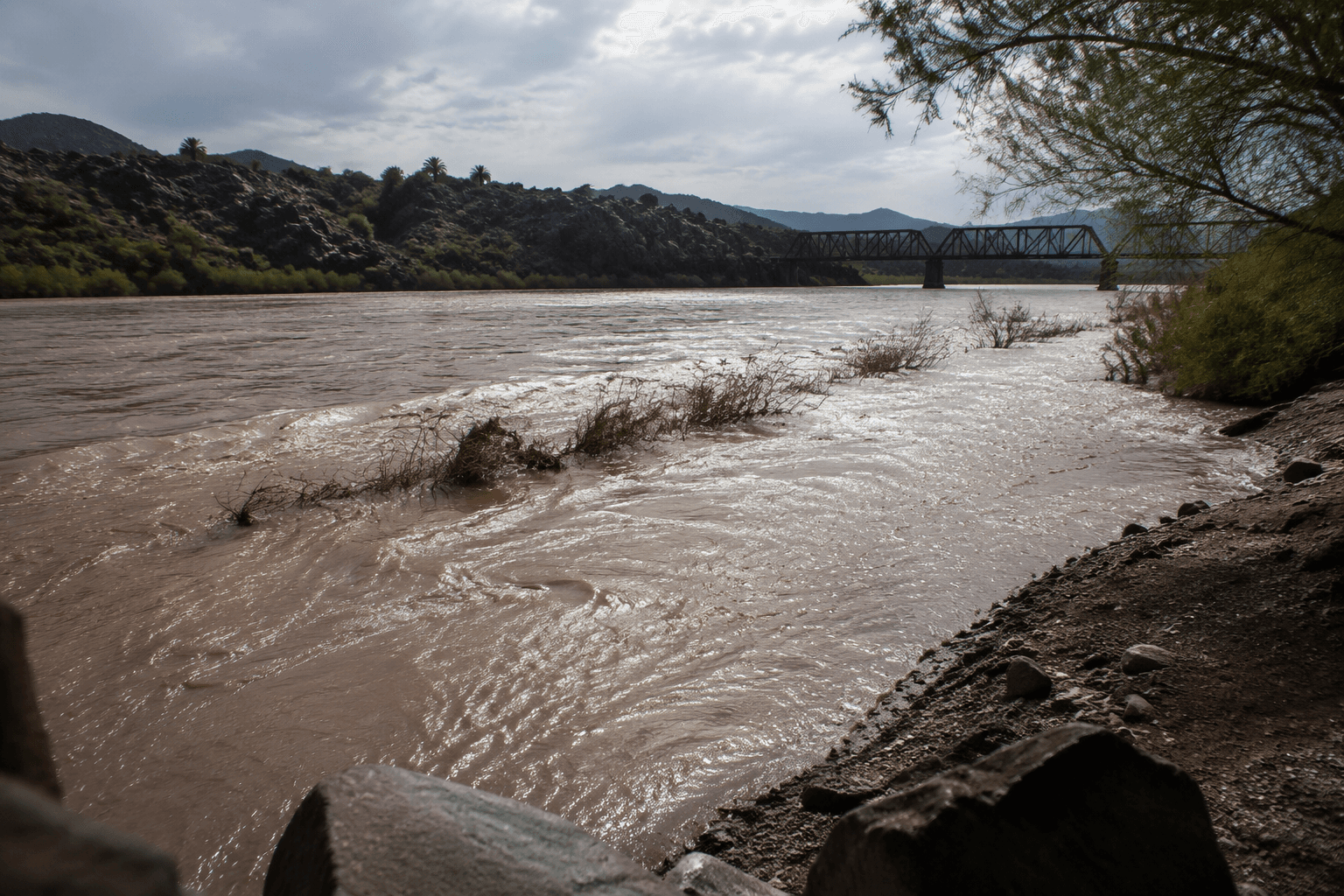
The river reading came from USGS monitoring location 09426620, Bill Williams River Near Parker, AZ. USGS says the station is operated in cooperation with the U.S. Army Corps of Engineers, the Bureau of Reclamation, and the U.S. Fish and Wildlife Service, a reminder that the gauge serves flood tracking, water management, and habitat protection at the same time. USGS also notes the current data are provisional and subject to revision, meaning the numbers can shift as the agency refines its record.
This flood pulse matters beyond one gauge. The Bill Williams River is linked to the Bill Williams River National Wildlife Refuge, where sudden rises can alter access and put visitors, staff, and wildlife under stress. In La Paz County, that means people headed for the river should treat the rise as a real closure threat, not just a high-water curiosity.
USGS hydrologic records show the river has been watched for decades, including a gage established near Alamo, Arizona, in 1939. The agency has also documented an experimental flood on the river in 2010, a controlled high-water event that stands in sharp contrast to the storm-driven surge that hit the Parker reach. That long record helps show how close this event came to the river’s known extremes, and why warnings and monitoring on the Bill Williams River need to reach Parker-area residents before water overtakes the crossings and access points they rely on.
This article was produced by Prism’s automated news system from verified source data, official records, and press releases, then run through automated quality and moderation checks before publishing. The system is built and supervised by the people who set the standards it runs under. Read our full AI policy.
Did this article answer your question?