Corcel begins Phase I drilling at La Paz County's Yuma King project
Drill rigs have moved onto 515 federal claims in La Paz County, where Corcel's first 1,500 meters could bring more traffic, ground disturbance and BLM scrutiny.
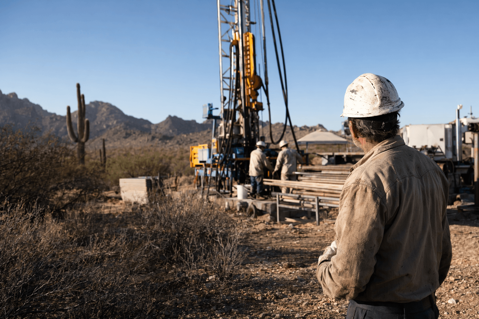
Drill rigs have started at Corcel Exploration’s Yuma King project on 515 unpatented federal claims in La Paz County, turning a long-studied mine area into an active test of whether the district still holds a larger copper-gold system. The company says Phase I is fully permitted and will cover about 1,500 metres of diamond drilling across 6 to 8 drill sites, a program that will matter locally for land use, access roads and the pace of federal oversight.
The project sits in the historic Ellsworth Mining District in west-central Arizona, about 150 kilometres northwest of Phoenix, on a 3,200-hectare block that Corcel describes as its flagship copper-gold asset. The company points to year-round access by paved and maintained gravel roads and proximity to power and transportation networks, but those same access routes also mean nearby residents should watch for heavier vehicle use as drill pads are built and crews move equipment in and out of the site. Corcel’s recent induced polarization work covered 10 line-kilometres and identified a new YK North Skarn target, chargeability and resistivity anomalies, and a deep conductive source at YK West more than 250 metres down that could reflect sulfides or graphite-bearing McCoy Mountains Formation rocks.
The drilling follows a long history of production and past exploration at Yuma King. Corcel says the old mine produced more than 7,917 tonnes from underground workings between 1940 and 1963, yielding 461,686 pounds of copper, 2,700 pounds of lead, 261 ounces of gold and 5,371 ounces of silver. The company also says 21 historical drill holes totaling 3,904 metres were completed in 2006 and 2011, with the 2006 campaign cutting skarn mineralization in every hole near the mine and reported widths ranging from 9.14 metres to 36.6 metres.
The grades reported from those older holes help explain why Corcel is back at the site. Historical intercepts include 45.4 metres grading 0.78% copper, 0.53 grams per tonne gold and 6.3 grams per tonne silver from hole YK01-A, along with other thick intervals near surface and a deeper step-out in AV-1 that Corcel says shows at least 500 metres of down-dip skarn potential. The company has also pointed to historical tungsten and graphite occurrences, though it has said those critical mineral signs have not been verified by Corcel.
For La Paz County, the immediate question is less about future production than about what the drill phase leaves behind. Because the claims are federal and unpatented, the U.S. Bureau of Land Management is the key agency to watch, alongside any county and state permit reviews tied to disturbance, access and reclamation. Corcel’s current work is being reviewed by Roy Greig, Ph.D., P.Geo., and the next real test will be whether the 1,500-metre program confirms enough continuity to justify a larger push.
This article was produced by Prism’s automated news system from verified source data, official records, and press releases, then run through automated quality and moderation checks before publishing. The system is built and supervised by the people who set the standards it runs under. Read our full AI policy.
Did this article answer your question?


