La Paz County Places New GIS Contract on Consent Agenda
La Paz County posted a consent agenda item on December 11 to authorize a new agreement for geographic information system services with Mil Geospatial LLC, including updated rates. The item was scheduled for Board of Supervisors action at the December 15 meeting, a procedural step that could affect county mapping capabilities and future costs for residents.
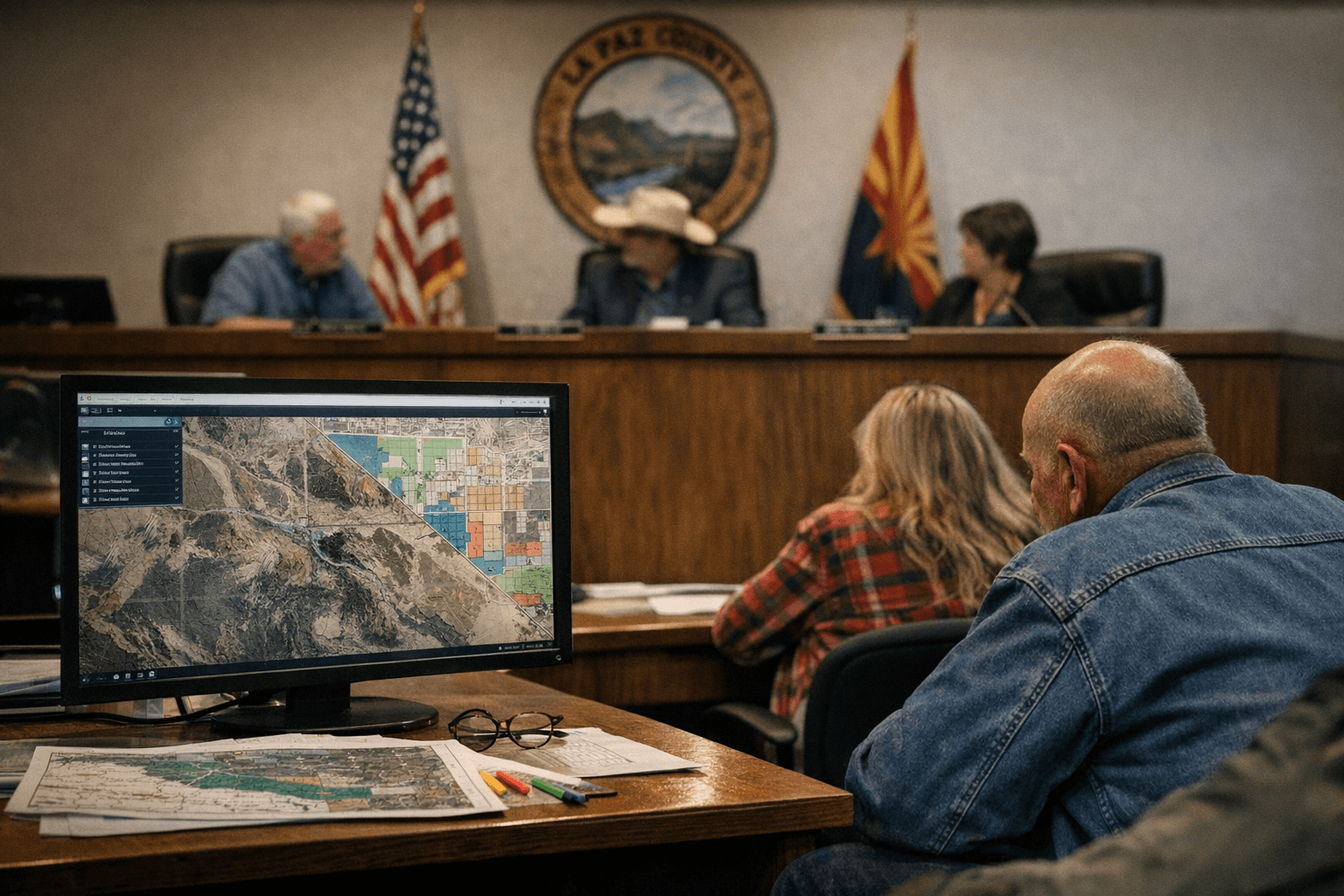
The La Paz County Board of Supervisors posted consent agenda item j on December 11, proposing authorization of a new agreement with Mil Geospatial LLC for GIS services and updated rates. The item was placed on the consent agenda for board action at the December 15 meeting, a routine step counties use to handle noncontroversial contracts and administrative matters in a single vote.
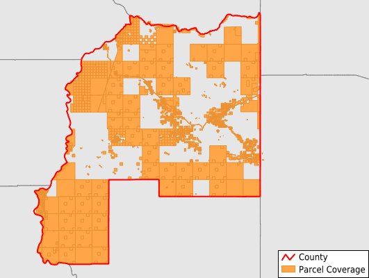
Geographic information system services underpin a wide range of local government functions, including parcel mapping, emergency response routing, infrastructure planning, zoning support, and maintenance of voter precinct boundaries. Any change in provider or in rates for GIS services carries practical and fiscal implications for operations that rely on accurate spatial data. Updated rates in the proposed agreement could alter the county budget for technology services and affect how frequently datasets are updated or expanded.
Placing the contract on the consent agenda suggests county staff considered the agreement routine and ready for board approval without extended discussion. That practice streamlines meetings but also concentrates responsibility on supervisors to identify any items needing separate review. Residents and stakeholders with concerns about cost, scope, or data access must rely on board oversight, public records, and the option to request that a consent item be pulled for discussion during the meeting.
The Board of Supervisors approves service agreements and sets county spending priorities. Changes to vendor contracts for GIS work can influence response times for emergency services, the accuracy of property records used in tax assessments, and the availability of maps used by planning and public works departments. For property owners, developers, and civic organizations, contract terms and rates can affect project timelines and fees tied to mapping services.
Citizens seeking more detail about the proposed agreement, the updated rates, or the board action taken at the December 15 meeting should request the contract and meeting minutes from the Clerk of the Board or the county administrative office. Attending future board meetings remains the most direct way to ask questions and prompt supervisory review of consent agenda items.
This article was produced by Prism’s automated news system from verified source data, official records, and press releases, then run through automated quality and moderation checks before publishing. The system is built and supervised by the people who set the standards it runs under. Read our full AI policy.
Did this article answer your question?