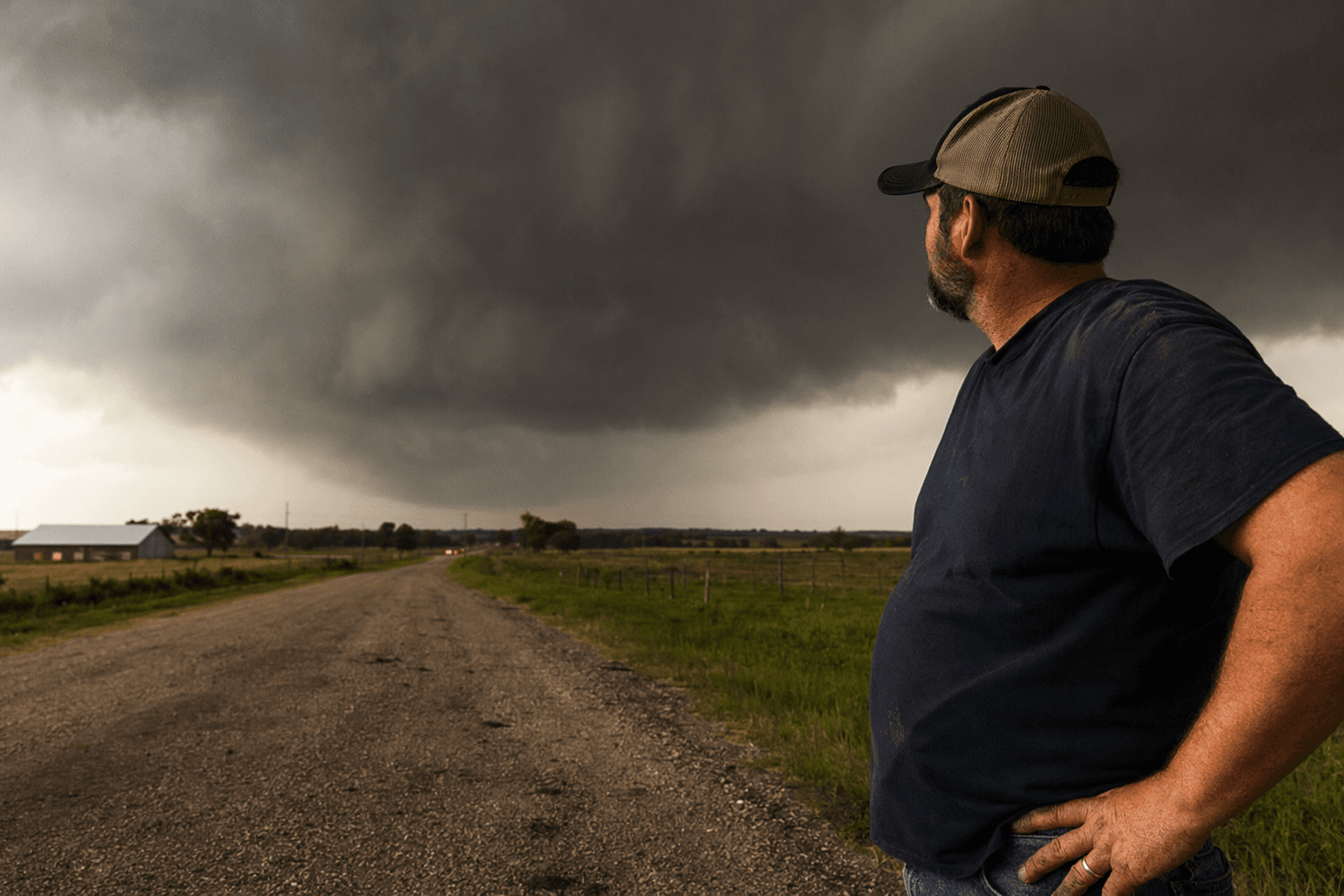
Lafayette County under tornado watch, severe storms threaten damaging winds today
Lafayette County faced a tornado watch until 10 p.m. as storms threatened 58-plus mph winds, with the highest wind risk expected between 3 and 7 p.m.
Lafayette County officials warned Tuesday afternoon that Oxford and Taylor were under a Tornado Watch until 10 p.m. CDT, with severe thunderstorm warnings already in place for damaging winds of 58 mph or higher. The Lafayette County EMA, Sheriff’s Office and public information officer urged residents to secure outdoor items and keep a close eye on updates as another round of severe weather moved toward North Mississippi.
The National Weather Service in Memphis placed much of the Mid-South in an Enhanced Risk, level 3 of 5, for severe storms and said the peak severe-weather period would stretch from 3 p.m. to 2 a.m. Damaging wind, large hail and tornadoes were all possible. In its latest mesoscale update, the weather office said damaging winds were the most likely hazard and said bowing segments could produce the highest wind threat, most likely between 3 p.m. and 7 p.m. WFO Memphis also said it was entering warning operations.
The threat extended beyond Oxford and Taylor. The National Weather Service said Water Valley and Thaxton were also in the affected area, and it warned that the strongest storms across the Mid-South could produce gusts of 70 to 80 mph. That kind of wind can down trees, snap limbs, tear away shingles and turn loose furniture, trash cans and patio items into debris.

For Lafayette County residents who rely on weather radio, Oxford is served by NOAA Weather Radio transmitter KIH52, which also covers Lafayette County. Keeping that alert system on mattered as storms threatened to develop and strengthen through the afternoon and evening.
The county’s tornado history also underscored the risk. The National Weather Service documented a preliminary EF-3 tornado in Lafayette County on April 27, 2011. That tornado began south of Oxford at 1:39 p.m., tracked 13.6 miles, produced estimated peak winds of 140 mph, injured two people and damaged homes and mobile homes.

As the April 2026 severe-weather event unfolded, the National Weather Service pointed residents to its local weather-events archive and severe-weather resources while it tracked the storm line across the Mid-South. For Lafayette County, the immediate concern remained the next several hours, when damaging winds and the chance of tornadoes could shift quickly from forecast to warning.
This article was produced by Prism’s automated news system from verified source data, official records, and press releases, then run through automated quality and moderation checks before publishing. The system is built and supervised by the people who set the standards it runs under. Read our full AI policy.
Did this article answer your question?