Flooding closes Gooseberry Falls trails, Lake County under advisory
Floodwater shut Gooseberry Falls trails and briefly inundated Boomer Road as Lake and Cook counties stayed under a flood watch. Water rose fast enough to close access and force new caution along Highway 61.
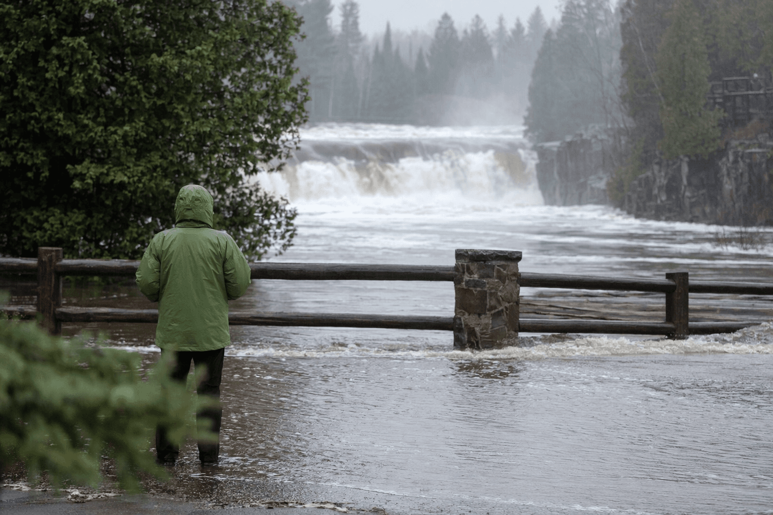
Heavy rain and melting snow closed riverside trails at Gooseberry Falls State Park and sent floodwater onto a Lake County road as the North Shore dealt with runoff that made travel and recreation unsafe. By April 28, flooding, trail closures and road damage were showing up along the shoreline, while Lake and Cook counties remained under a flood advisory and flood watch.
At Gooseberry Falls, the Minnesota Department of Natural Resources said all trails next to the Gooseberry River were inaccessible because of flooding. Park officials kept visitors off the waterlogged paths after rain fell on top of saturated soils and lingering snowpack, and park supervisor Nathan Springer said water levels had dropped before rising again after more rain. The closures hit one of Lake County’s most visited destinations, where access, parking and traffic along Highway 61 can be tightly packed on busy spring weekends.
The problem was not confined to the park. On April 24, the National Weather Service recorded water inundating Boomer Road for about a quarter mile east of Highway 2 near Wales. The Lake County flood report said at least a foot or two of water covered the road, apparently from backwater from the Little Gooseberry River. For drivers, that meant a temporary road hazard in a part of the county where spring runoff can quickly disrupt local travel and emergency access.
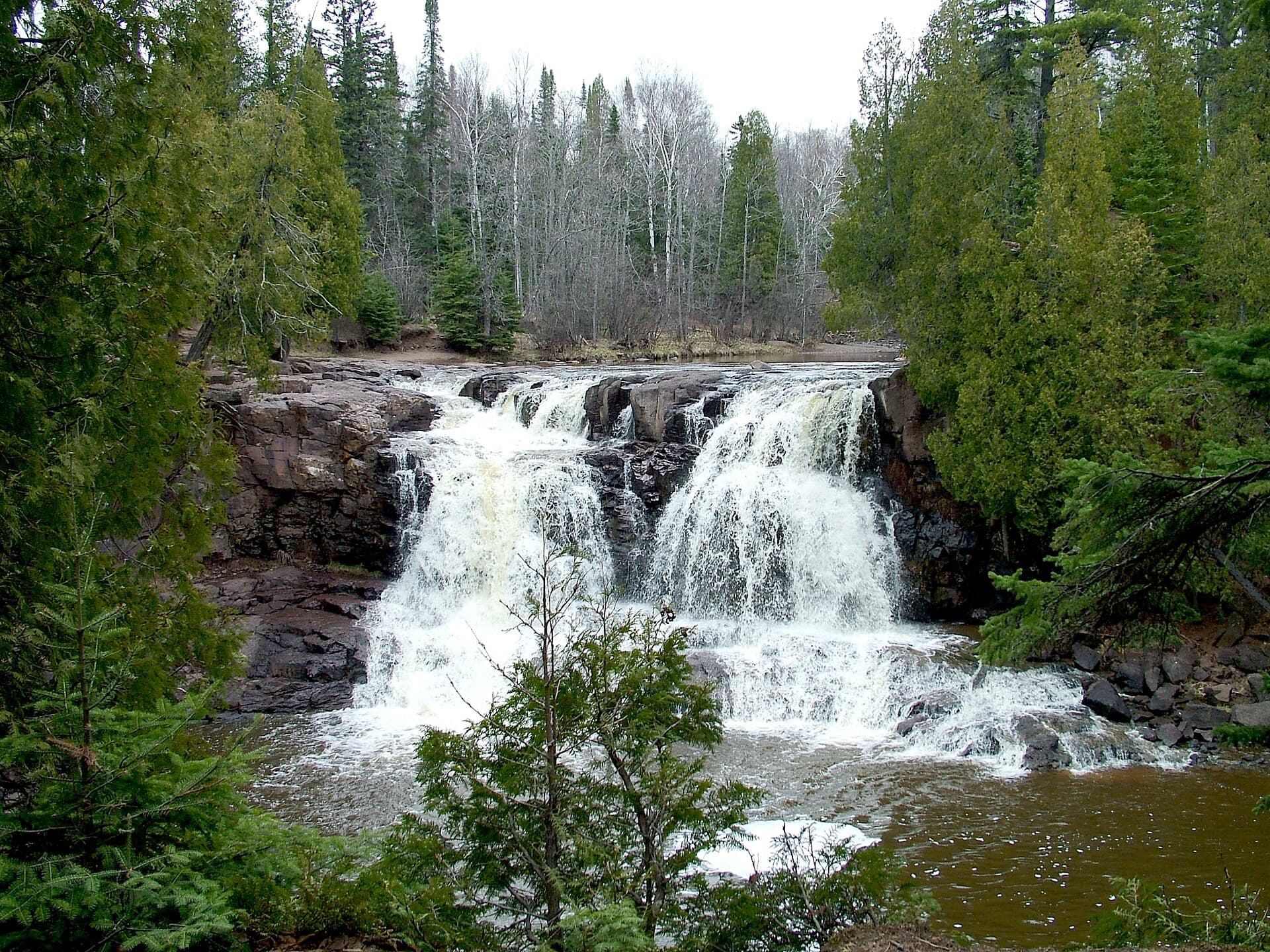
The scale of the North Shore runoff was visible beyond Lake County as well. Bring Me The News reported that river levels at several North Shore waterways rose 3 to 5 feet during the spring melt, a sharp increase that helped trigger flood advisories in Cook, Lake and part of St. Louis County. FOX 9 reported earlier in the week that trails along the Gooseberry River had already been closed because of flooding from snowmelt and rain, and that some campsites still held snow even as water moved through the park.
The DNR has said temporary road and trail closures can change quickly and that visitors should check park-specific alerts before heading out. That warning mattered here because the runoff changed by the hour, turning a popular stop into a live safety problem for residents, school trips and tourists moving up and down the North Shore. With Gooseberry Falls serving as a gateway to the coast, the reopening call now sits with the state park managers watching the river, the county monitoring flooding, and the weather service tracking whether more rain will keep the water high.
This article was produced by Prism’s automated news system from verified source data, official records, and press releases, then run through automated quality and moderation checks before publishing. The system is built and supervised by the people who set the standards it runs under. Read our full AI policy.
Did this article answer your question?