Lake County shoreline guides boating routes, harbors and protected access
Lake Superior boating in Lake County runs through harbors, protected access, and a 41-mile Split Rock to Schroeder route marked by Gold Rock Point, Shovel Point and Crystal Bay.
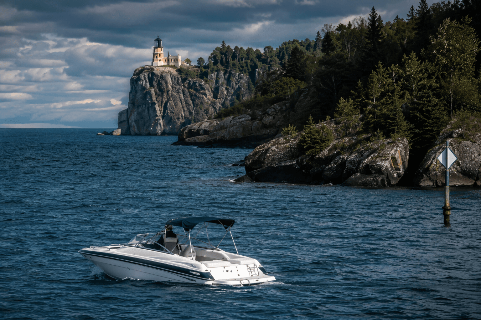
Where can you safely get on the water in Lake County, and where should you stay off? Along Lake Superior, the answer depends on harbor infrastructure, protected access points, and a weather window that can close fast. The Minnesota Department of Natural Resources built a Lake Superior boating guide for exactly that reason: this is not inland-water boating, and the shoreline has to be treated as a route network rather than a casual launch spot.
Why Lake Superior needs its own rules
The DNR’s Lake Superior Boating Guide was prepared in response to a study of Lake Superior recreational boaters. It summarizes both state and federal boating regulations, but it does not pretend to be a complete list of laws and rules. That matters on a lake where wind, waves, cold water, and limited bailout options change the safety equation before you even leave shore.
That is also why the DNR pairs the guide with a Lake Superior safety information page and a separate map of small craft harbors and protected accesses. Together, those materials frame Lake Superior as a managed public boating system, not just a line of scenic shoreline. For paddlers and small-boat users, the public infrastructure is part of the trip planning.
How the North Shore is organized
Lake County sits within the North Shore, a 150-mile stretch of Lake Superior shoreline. The Lake Superior State Water Trail identifies the Minnesota segment as a 177-mile multiday water trail, which helps explain why route choice matters here. This coast is long enough that access points, harbors, and rest areas function like checkpoints, not conveniences.
The water trail mapping shows the corridor running by Split Rock Lighthouse State Park, Tettegouche State Park, Beaver Bay, and other North Shore locations. Communities such as Two Harbors, Silver Bay, Beaver Bay, Grand Marais, and Schroeder serve as the access and service nodes that make boating possible. On this lake, distance between safe exits is part of the reality, not a footnote.
The Split Rock to Schroeder segment in plain terms
One of the most useful local planning tools is the DNR canoe-route map for the Split Rock Lighthouse State Park to Schroeder segment. It covers river miles 54 to 95, a 41-mile stretch of shoreline that gives boaters a concrete way to think about the coast. The map turns a broad lake into named reference points that can be used for staging, timing, and turnaround decisions.
At river mile 59.0 sits Gold Rock Point. Farther north, the route reaches Shovel Point at river mile 73.0 at Tettegouche State Park, where the map notes the wreck of the Madeira, driven ashore in 1905, lying on the lake bottom nearby. At river mile 73.6 is Crystal Bay at Tettegouche State Park. That sequence matters because it shows how quickly one stretch of shore can shift from open-water travel to a landmark with specific hazards, anchors, and landing limits.
Where the route becomes operational, not just scenic
Shovel Point is more than a landmark. The DNR notes that it is a popular recreational diving site and warns boaters to be alert to divers in the water. That means the water around the point has to be handled like shared space, with the same caution you would use near swimmers, dive flags, or concentrated shore activity.
Crystal Bay offers a different kind of constraint. The map notes a rest area and a small beach nearby, but no facilities. That distinction is important for anyone planning a paddle or a small-boat stop: a beach is not the same as a developed launch, and a rest area is not a harbor. The absence of facilities can turn a short stop into a poor choice if weather, fatigue, or a changing lake make a longer landing necessary.
Harbors and protected accesses are the safety net
The DNR’s small craft harbors and protected accesses map is the clearest sign that Lake Superior boating is built around public safety infrastructure. Small craft harbors give paddlers and boaters places to stage, pause, and get out of the weather; protected accesses provide shorter, more sheltered points of entry and exit. On a lake this exposed, those details can decide whether a trip stays manageable.
For Lake County residents and visitors alike, that network is the difference between a realistic route and a risky one. A boat launch on an inland lake can be enough on its own; on Lake Superior, the launch is only the first decision. The real question is where the next sheltered landing exists if wind shifts, waves build, or a trip takes longer than planned.
What the guide is really telling boaters
The strongest message in the DNR materials is that Lake Superior rewards planning. The state does not publish a separate guide for this lake because it is a novelty. It does so because the shoreline demands route planning, access planning, and a realistic understanding of rescue reality.
That is why the guide, the safety page, the small craft harbors map, and the water trail materials belong together. They show the same basic fact from different angles: Lake County’s shoreline is usable, but only if the route is matched to the access point, the weather, and the boat’s ability to handle open water. On this coast, safe boating is not just about where you start. It is about whether the shore gives you a way back.
This article was produced by Prism’s automated news system from verified source data, official records, and press releases, then run through automated quality and moderation checks before publishing. The system is built and supervised by the people who set the standards it runs under. Read our full AI policy.
Did this article answer your question?