Severe thunderstorms warn Lake County of hail and 60 mph winds
Severe thunderstorms rolled over northeastern Lake County before dawn, with 1-inch hail and 60 mph winds possible near the Boundary Waters.
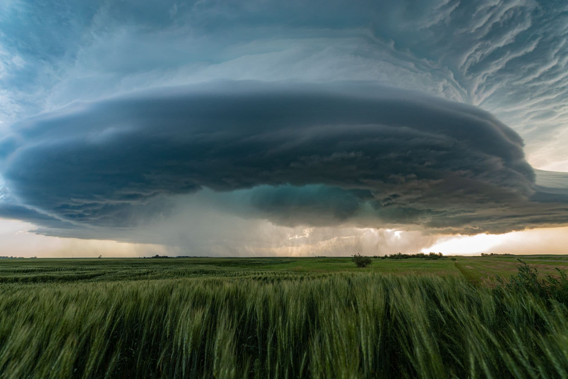
Severe thunderstorms crossed Cook County and northeastern Lake County before dawn Monday, putting remote North Shore and Boundary Waters travel areas under a warning that lasted until 6:15 a.m. CDT. The National Weather Service in Duluth said the line of storms was already near 6 miles northeast of Saganaga Lake at 5:15 a.m., with hail and 60 mph wind gusts among the main risks.
The warning was issued at 5:16 a.m. CDT and later archived for Cook County again at 5:38 a.m., both with the same 6:15 a.m. expiration. That timing mattered for campers, boaters and anyone moving through the Boundary Waters Canoe Area Wilderness, where even brief bursts of wind and lightning can bring down branches, churn up water and delay travel without leaving a large structural damage footprint.
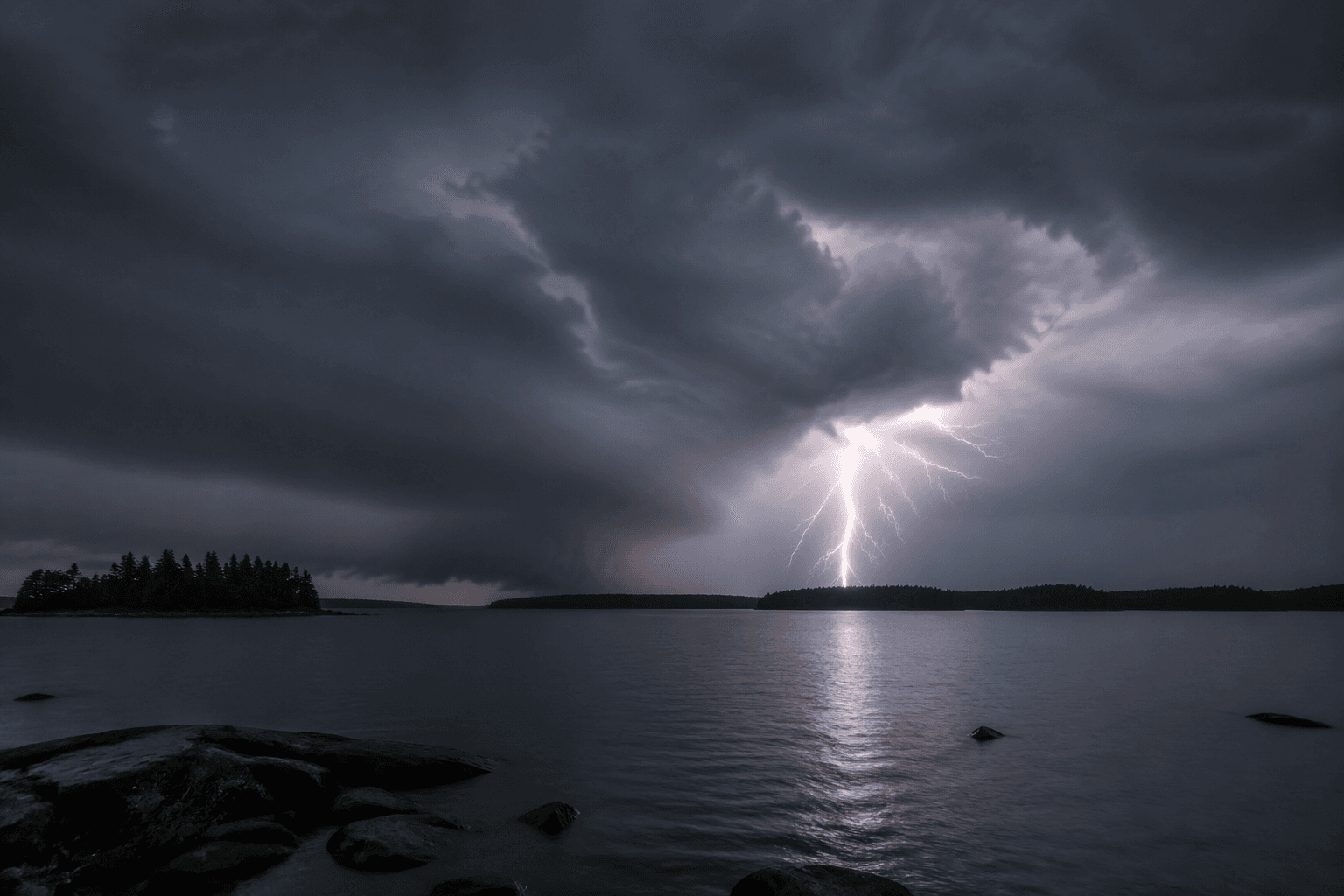
Initial updates did not show major damage, but Lake County’s emergency management office is built to handle exactly this kind of fast-moving event, covering preparedness, response, recovery and mitigation. In storms like this, the first practical concern is often not a headline-grabbing loss but scattered cleanup: downed limbs, isolated power outages, and damage reports that arrive after daylight reveals what happened along lake roads, forest routes and cabin access points.
The warning also landed during a stretch of overlapping weather hazards across the Duluth forecast area. On July 20, the National Weather Service’s decision support briefing highlighted near-critical fire weather and a heat advisory in parts of the region, showing residents were dealing with multiple threats at once as the storm pattern moved through.
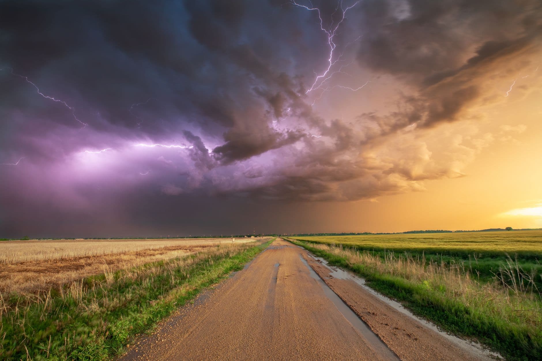
By 9:57 a.m. CDT Tuesday, the weather service had issued a Special Weather Statement for Northern Cook and Lake, Southern Lake, Southern Cook and surrounding Northland zones, signaling the storm complex had pushed through the area. Residents checking on property or travel routes after the warning should still look for delayed signs of damage, especially around trees, shoreline roads and any utility lines affected by the wind. Lake Country Power’s outage center is the main place to report power problems, check outage maps and follow restoration updates if service is interrupted.
This article was produced by Prism’s automated news system from verified source data, official records, and press releases, then run through automated quality and moderation checks before publishing. The system is built and supervised by the people who set the standards it runs under. Read our full AI policy.
Did this article answer your question?