Flash flood warning issued for southwestern Las Animas County after heavy rain
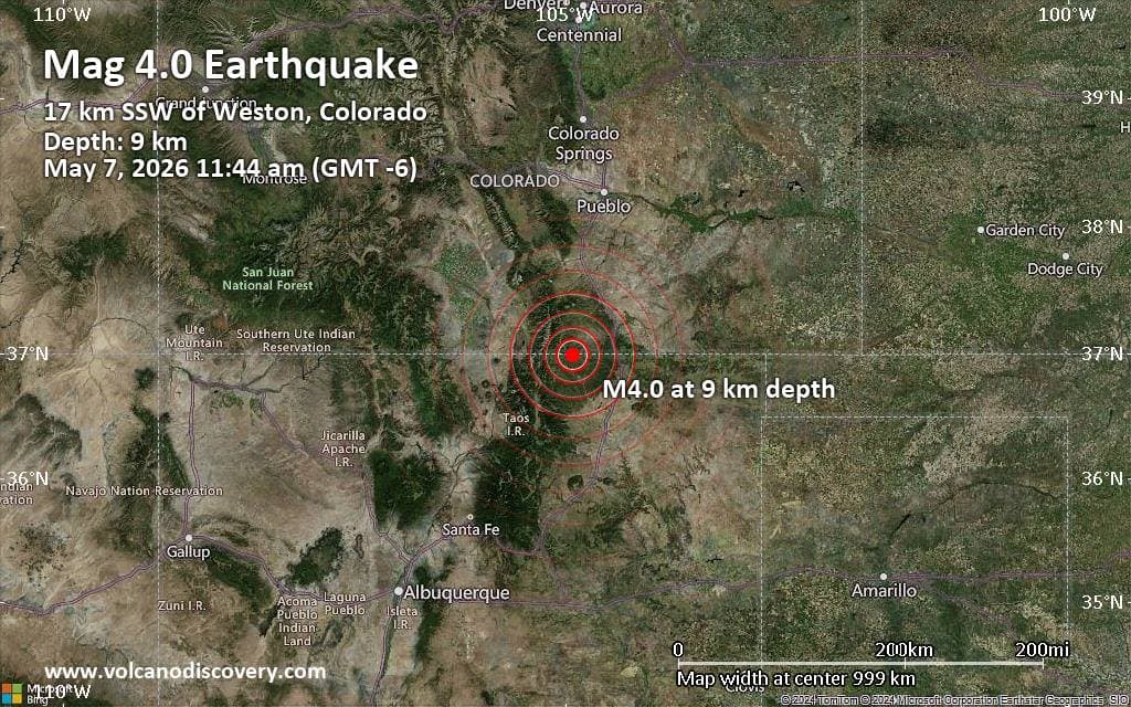
Heavy rain dropped up to 4 inches near Weston and triggered an urgent flash flood warning for southwestern Las Animas County until 8:30 p.m.
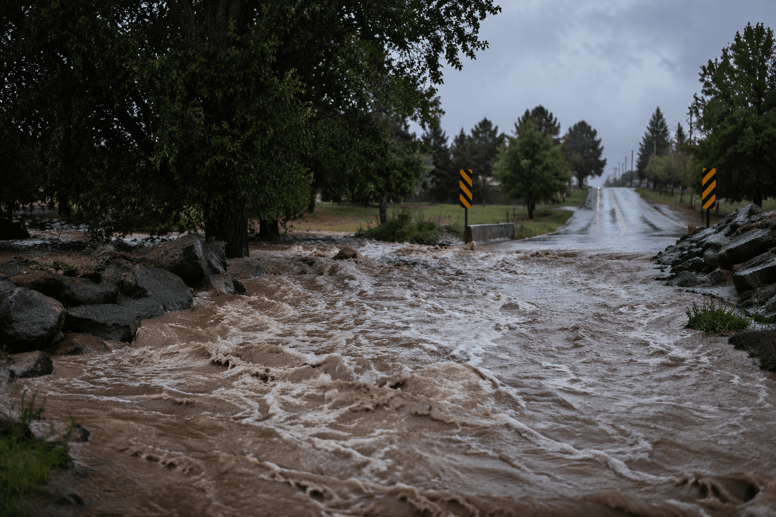
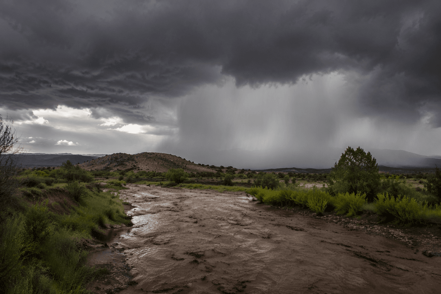
Heavy rain quickly turned southwestern Las Animas County into a flash-flood watch zone Thursday evening, with the National Weather Service in Pueblo warning that 2 to 3 inches had already fallen and flooding was ongoing or expected to begin. The warning, issued at 5:22 p.m. MDT, stayed in effect until 8:30 p.m. for the part of the county most exposed to runoff, including the area just southeast of Weston.
A later weather update said the rain had ended in the warned area by 6:45 p.m., but not before 2 to 4 inches had fallen generally just southeast of Weston. High water remained likely around Weston, a reminder that the danger from flash flooding can continue after the heaviest rain stops, especially where water rushes off slopes and across low-lying ground.
The alert came as an urgent, storm-based warning rather than a broader watch, the kind the National Weather Service uses for rapidly developing life-threatening flooding. Officials stress that flash floods can rise in minutes or hours and move at surprisingly high speed, making roads and crossings especially dangerous. Nearly half of all flash flood deaths are vehicle-related, a risk that becomes sharper when water collects on rural routes and travelers try to cross flooded stretches.
Las Animas County’s Office of Emergency Management serves as the county’s center for all-hazard emergency preparation, prevention, response and recovery, putting it at the center of local readiness when storms hit southeast Colorado. The county sits inside the National Weather Service Pueblo forecast area, and forecasters also warn that flash flooding can be especially dangerous on Colorado burn scars when heavy rain falls on them.
The Pueblo office has pointed to past disasters as a reminder of what intense rain can do across southern Colorado. In September 2013, more than 8 inches of rain over a wide area from northern Jefferson County to the Wyoming border caused considerable flooding on creeks and rivers. Its event summaries also record severe weather closer to home, including tornadoes east of Trinidad on June 6, 2014, and a tornado in Las Animas on July 14, 2020. Thursday’s warning tested once again how fast alerts reach rural residents and whether local response can move quickly enough to keep people out of moving water.
This article was produced by Prism’s automated news system from verified source data, official records, and press releases, then run through automated quality and moderation checks before publishing. The system is built and supervised by the people who set the standards it runs under. Read our full AI policy.
Know something we missed? Have a correction or additional information?
Submit a Tip