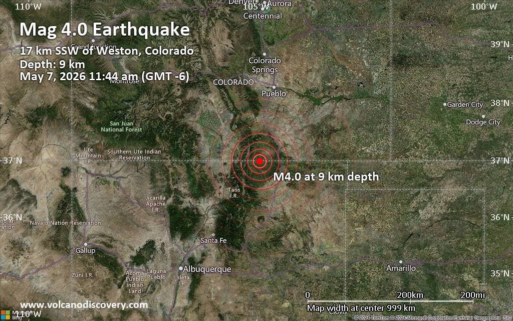
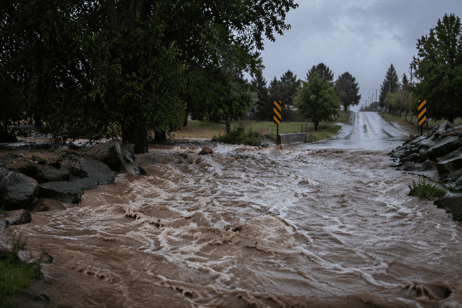
Flash flood warning issued for southwestern Las Animas County after heavy rain
A storm chaser caught intense weather 15 miles southeast of Trinidad as 2 to 3 inches of rain triggered a flash flood warning for Stonewall, Segundo and Weston.
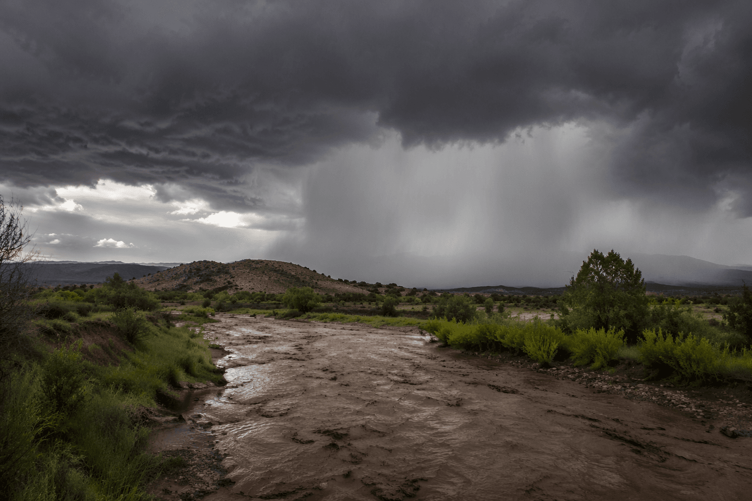
A storm chaser captured intense weather about 15 miles southeast of Trinidad as thunderstorms built across Las Animas County, and by late afternoon that same system had already pushed southwestern Las Animas County into a flash flood warning.
The National Weather Service Pueblo office issued the warning at 5:22 p.m. MDT on May 28 after Doppler radar indicated thunderstorms producing heavy rain. Forecasters said between 2 and 3 inches of rain had already fallen, with flash flooding ongoing or expected shortly. The warning covered Stonewall, Segundo and Weston and remained in effect until 8:30 p.m. MDT.
The immediate concern was not just the rain falling out of the sky but where it would run. The warning said flooding could hit small creeks and streams, highways, streets, underpasses and other low-lying or poor-drainage areas, the places where runoff can turn a routine trip into a stranded car or a washed-out approach in a matter of minutes. For drivers in and around Trinidad and the western end of the county, that meant watching road conditions closely and avoiding water-covered crossings.
Earlier in the day, NWS Pueblo had already flagged the southeast plains for another round of scattered showers and thunderstorms, with at least a few storms expected to become strong and linger well into the overnight hours. Forecasters said the stronger storms were more likely farther east, but low-end severe hail and gusty winds were still possible across the Pueblo forecast area. NWS Pueblo says a severe thunderstorm warning is issued when winds reach 58 mph or higher, or hail measures one inch in diameter or larger.
The day’s weather also fit a larger pattern of severe storms in Las Animas County. NWS Pueblo event summaries document a tornado west of Las Animas on July 14, 2020, and tornadoes east of Trinidad on June 6, 2014. Those past events, along with the renewed threat of heavy rain, help explain why thunderstorms in this part of southern Colorado draw close attention from forecasters and residents alike.
This article was produced by Prism’s automated news system from verified source data, official records, and press releases, then run through automated quality and moderation checks before publishing. The system is built and supervised by the people who set the standards it runs under. Read our full AI policy.
Know something we missed? Have a correction or additional information?
Submit a Tip