NWS Pueblo Issues Red Flag Warnings for Parts of Las Animas County
Humidity dropped as low as 9% near Pinon Canyon as NWS Pueblo's Red Flag Warnings covered both eastern and western Las Animas County on Thursday.
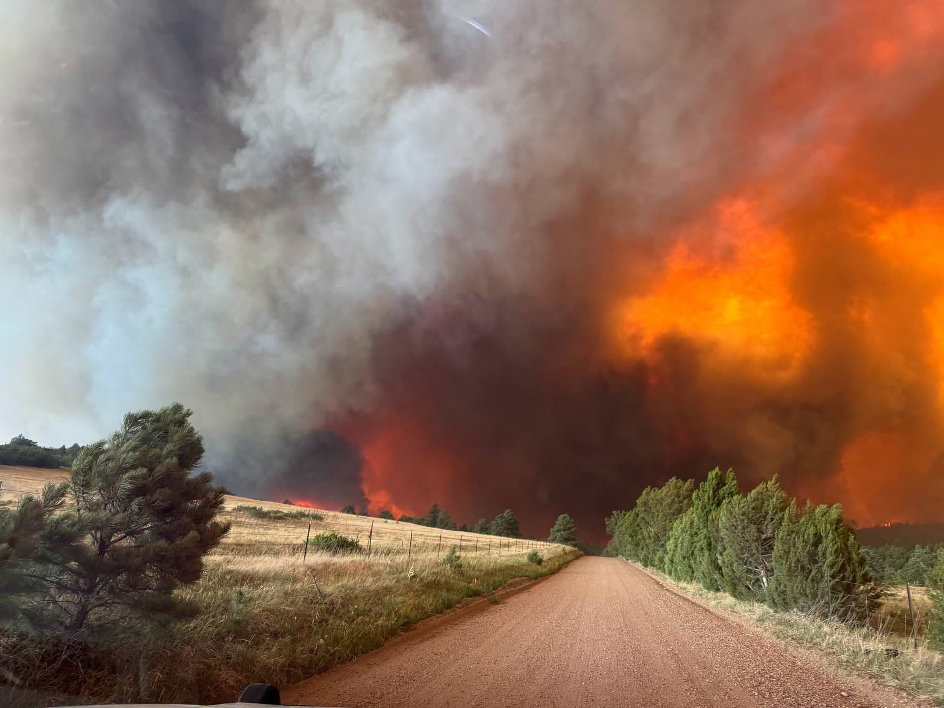
Both eastern and western Las Animas County fell under Red Flag Warnings Thursday as the National Weather Service office in Pueblo issued a series of urgent fire-weather products shortly after midnight, covering a wide swath of southeast and central Colorado with some of the most dangerous burning conditions of the year so far.
The warnings, timestamped at 12:31 a.m. MDT on March 12, placed Eastern Las Animas County including Pinon Canyon under Fire Weather Zones 231, 232, and 233, while Western Las Animas County including Trinidad and Thatcher fell under a separate warning block covering zones 222, 224, and 226 through 230. The conditions forecast for the eastern zone were particularly severe: westerly winds of 10 to 20 mph with gusts up to 35 mph, and relative humidity dropping as low as 9 percent. NWS Pueblo's impact statement was unambiguous: "Fires will catch and spread quickly. Exercise extreme caution with any outdoor burning."
All warnings covering Las Animas County were in effect from 11 a.m. to 9 p.m. MDT Thursday.
The fire-weather products extended well beyond county lines. Zones 234 through 237, covering Kiowa County including Eads, Bent County including the town of Las Animas, Prowers County including Lamar, and Baca County including Springfield and the Eastern Comanche Grasslands, were placed under a Red Flag Warning citing the same combination of gusty westerly winds and low relative humidity. The specific wind gust threshold for those zones was not fully available in the NWS excerpts released with the initial products.
The third warning block reached across much of the Front Range and southern Colorado, naming Huerfano County including Walsenburg, Pueblo County, both northern and southern portions of El Paso County including Colorado Springs and Fort Carson, Fremont County including Canon City, and the San Luis Valley communities of Alamosa, Del Norte, Fort Garland, and Saguache. A separate Fire Weather Watch, issued as a new product in the same message, carried a later validity window, signaling that elevated fire-weather conditions were forecast to continue into Friday.
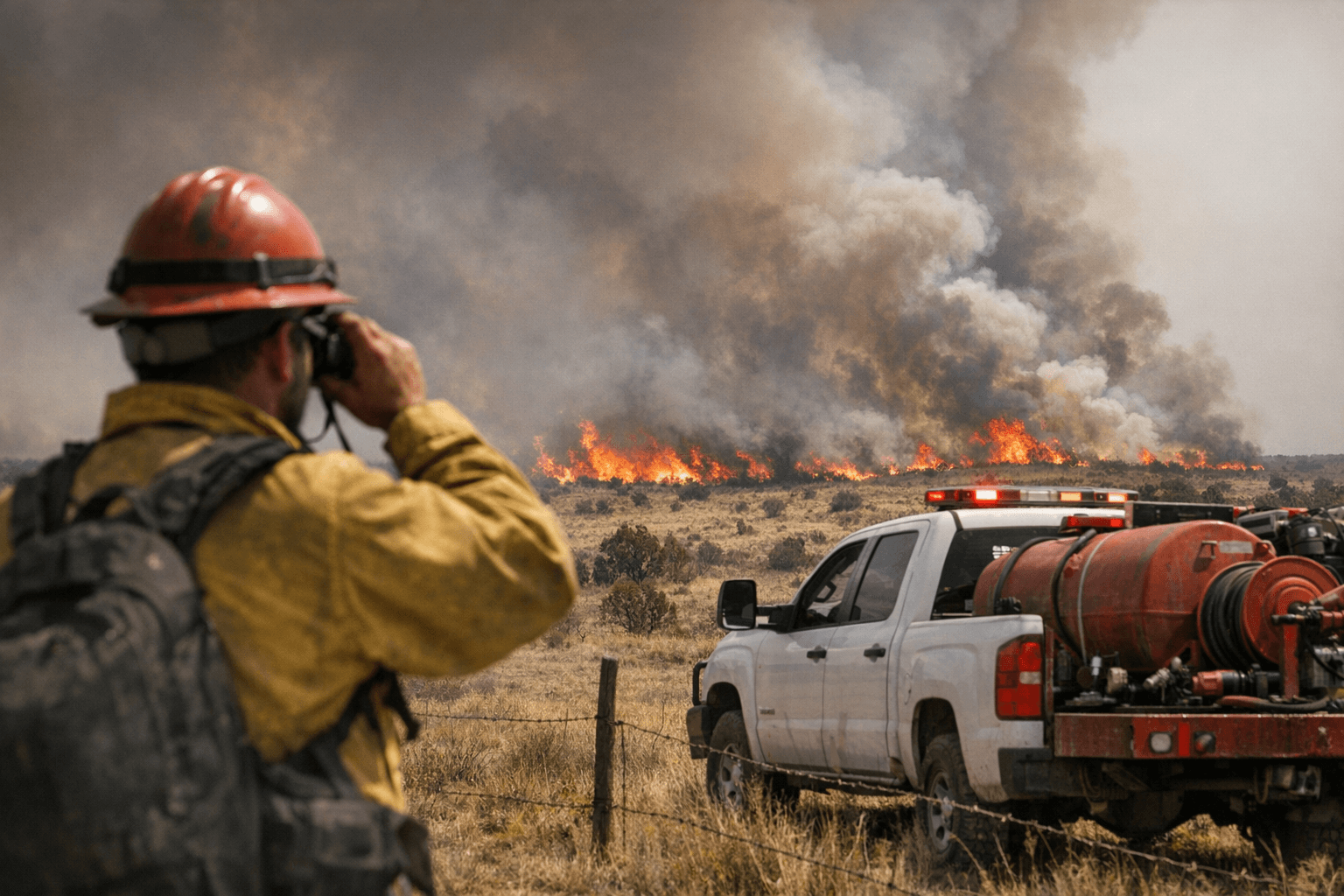
March winds pushing out of the west, combined with single-digit relative humidity readings, create the kind of environment where a spark from a vehicle, a downed power line, or an unattended burn pile can escalate within minutes. The Comanche National Grasslands, portions of which lie within both the eastern and western zone designations, represent some of the most fire-prone terrain in Colorado during periods like this one.
This article was produced by Prism’s automated news system from verified source data, official records, and press releases, then run through automated quality and moderation checks before publishing. The system is built and supervised by the people who set the standards it runs under. Read our full AI policy.
Did this article answer your question?