Canyon Ferry Reservoir offers major recreation near Helena, with 76 miles of shoreline
Canyon Ferry's 35,200 acres and 76 miles of shoreline make it Helena's default big-water choice, with marinas, fishing and day-trip access that smaller waters can't match.
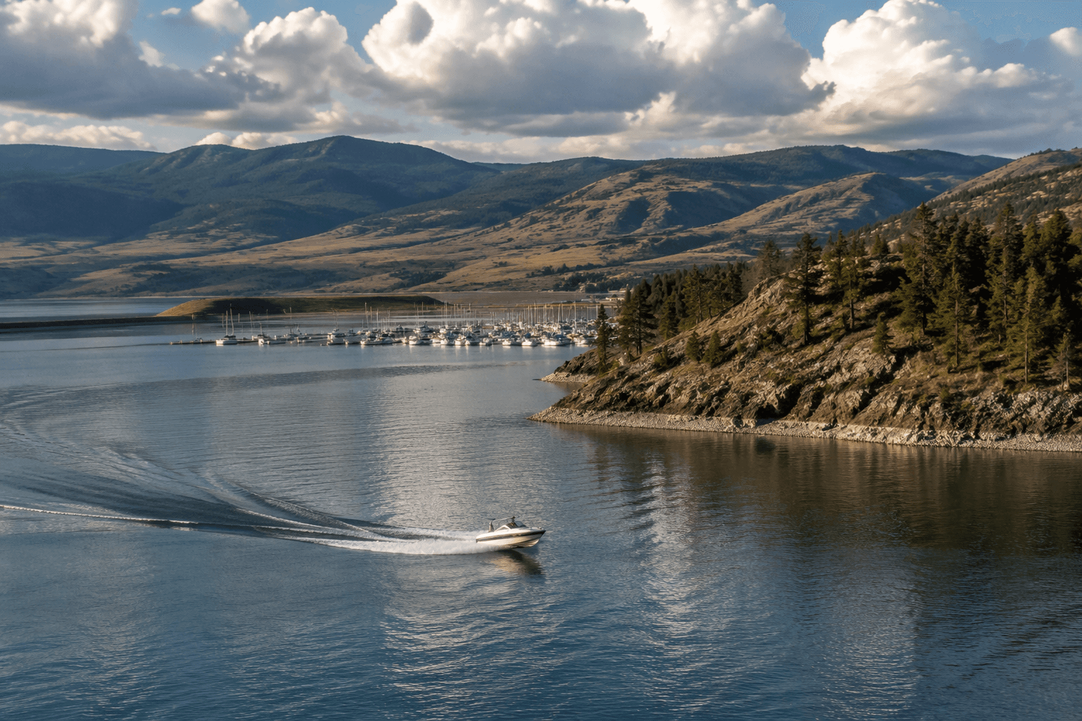
Canyon Ferry Reservoir wins because it is big enough to absorb demand and close enough to use. The lake covers about 35,200 water-surface acres, adds 9,360 land acres and stretches across 76 miles of shoreline, a scale that puts it well beyond the role of a small local fishing hole. It sits near Helena and about 50 miles downstream from the confluence of the Gallatin, Madison and Jefferson rivers, so it is part of the Missouri River system while still functioning as a practical outing from Lewis and Clark County.
Why the reservoir pulls so much regional traffic
That geography is the main reason Canyon Ferry remains the area’s default big-water option. Visit Montana places it among Montana’s foremost recreation areas because it is close to Helena, Great Falls and Butte, which gives it a reach that goes beyond county lines. For Helena-area families, boaters and anglers, that means the reservoir competes less with other lakes and more with the decision to stay home, because the drive stays manageable while the water is large enough to feel like a true destination.
The numbers matter here. A shoreline of 76 miles gives visitors room to spread out, and 9,360 acres of land around the water adds space for access, staging and shore-based use. Smaller nearby waters may be easier to reach for a quick stop, but they cannot match Canyon Ferry’s capacity to handle different kinds of recreation at once without feeling crowded into a single narrow basin.
Access built for boats, shore users and day trips
Canyon Ferry is not just large, it is set up for use. Recreation.gov lists three marina concessions and Bureau of Reclamation recreation sites at the reservoir, which gives the lake multiple points of entry and support for boaters instead of a single bottleneck. That infrastructure is a major reason the reservoir works as a regional recreation engine rather than just a scenic body of water seen from the road.
The Bureau of Reclamation also identifies a Canyon Ferry Field Office at 7700 Canyon Ferry Road in Helena, under the Montana Area Office, underscoring how tightly the reservoir is tied to the county seat. That local management footprint matters for access, maintenance and the basic visitor experience, because it keeps the lake connected to Helena rather than treating it like a remote reservoir tucked far from town. In practical terms, Canyon Ferry is close enough to fit into a weekend schedule, yet large enough to justify trailering a boat or planning a full day on the water.
Fishing, boating and the mix of uses that keep it busy
Angling is one of the reservoir’s core uses. Recreation.gov highlights rainbow trout, perch, ling and walleye, and Montana Fish, Wildlife & Parks lists Canyon Ferry Lake as a fishing waterbody. That species mix broadens the reservoir’s appeal, drawing both casual anglers looking for an easy outing and more dedicated fishermen targeting specific species across a large system.
The lake’s size also supports more than fishing. Boaters need room, and Canyon Ferry’s shoreline and marina network give them that room in a way smaller lakes around Helena often cannot. Campers and shoreline visitors also benefit from the spread of the reservoir, because the water is large enough to absorb a busy weekend without every user competing for the same launch or the same stretch of bank.
How the dam shaped the landscape
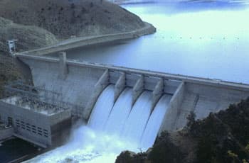
Canyon Ferry Reservoir is also a product of major federal water development. Bureau of Reclamation materials place it in the Pick-Sloan Missouri Basin Program, and Canyon Ferry Dam was built between 1949 and 1954. The dam is described as a concrete gravity dam stretching 1,000 feet in length, and its purposes go well beyond recreation: it provides flood control for the Missouri River Basin, hydroelectric power for the Montana energy grid and drinking water.
That engineering project also changed the map. The reservoir and lake created by the dam submerged Canton, Montana, a former community in the valley now under Canyon Ferry Lake. Long before the reservoir existed, the Lewis and Clark Corps of Discovery moved through the Missouri River corridor here in July 1805, giving the landscape a deeper historical layer that predates both the dam and the modern recreation economy built around it.
What that means for Lewis and Clark County now
Canyon Ferry remains important because it solves several problems at once. It gives Helena a nearby big-water destination, it supports multiple types of recreation, and it has enough scale to carry demand that smaller waters cannot comfortably handle. The reservoir’s proximity to Helena, Great Falls and Butte keeps its visitor base broad, while its marina concessions, Bureau of Reclamation sites and fishing access make it usable in ways that directly affect how people spend their time and money in the county.
That combination is why Canyon Ferry keeps its place at the center of the region’s outdoor life. It is large enough to matter, close enough to use often and structured enough to stay useful across seasons, which is exactly why it continues to outcompete smaller nearby waters for the biggest share of local recreation.
This article was produced by Prism’s automated news system from verified source data, official records, and press releases, then run through automated quality and moderation checks before publishing. The system is built and supervised by the people who set the standards it runs under. Read our full AI policy.
Did this article answer your question?