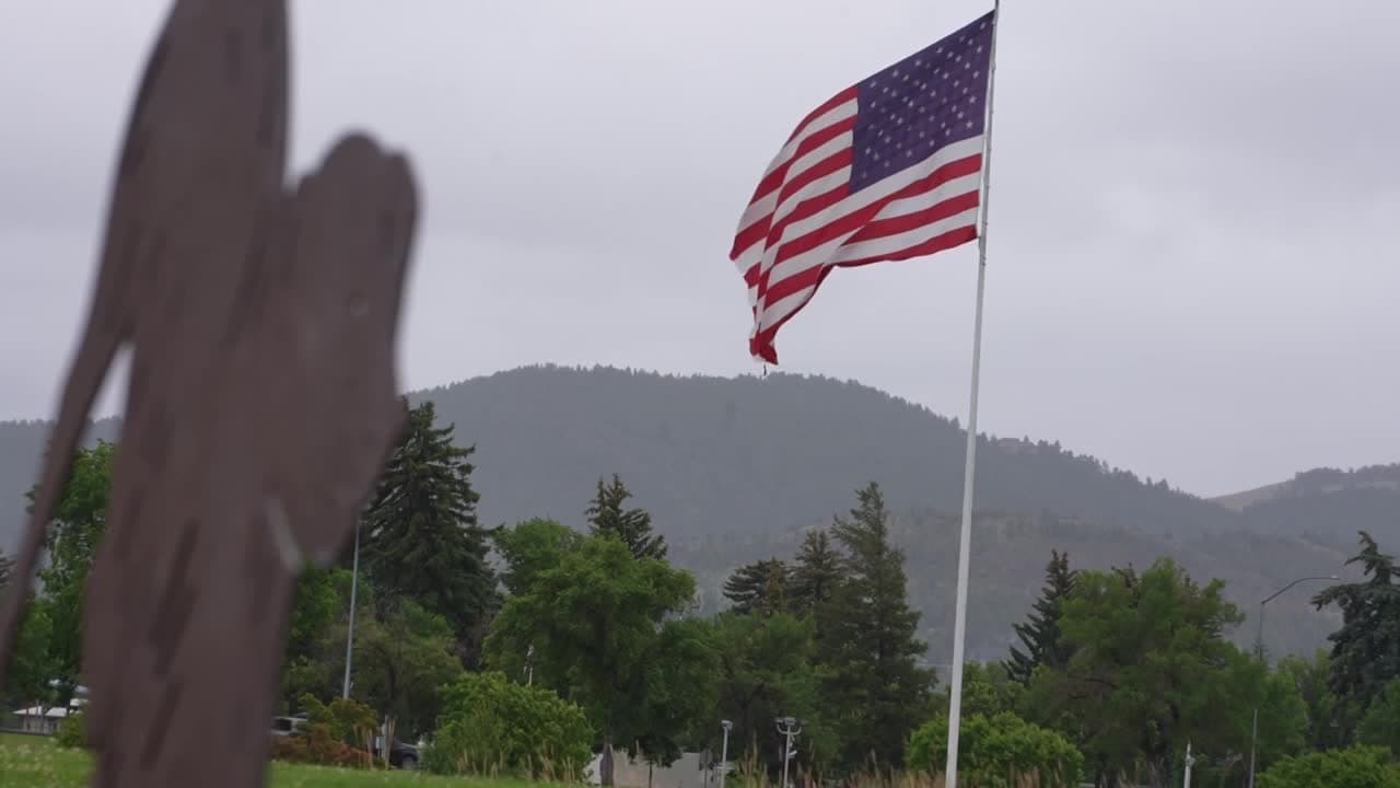
Flash flood watch issued for Helena area as storms move in
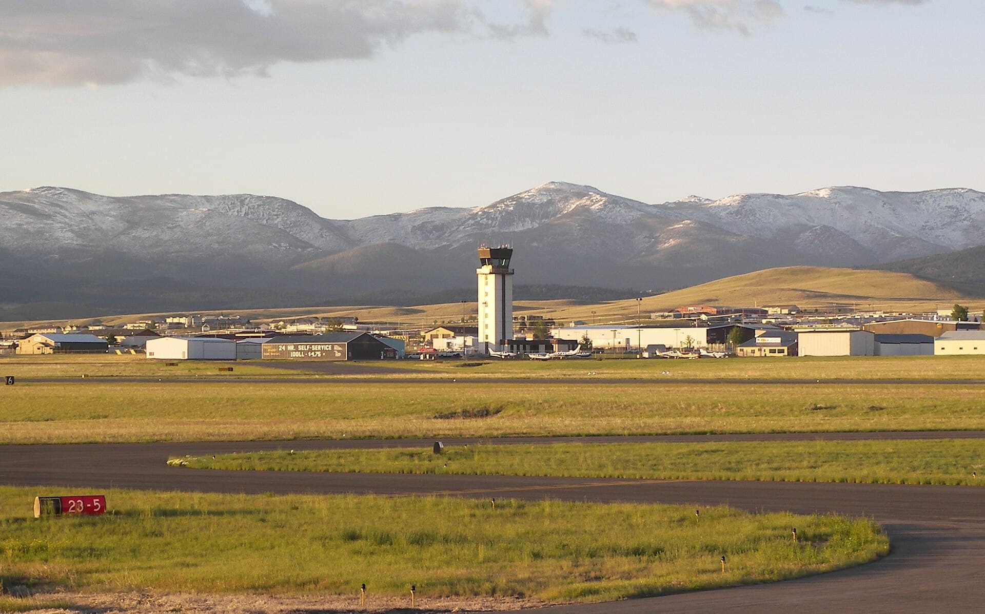
Flash flood warning hit Helena Regional Airport by midafternoon as storms raised debris-flow risk on steep and burned slopes around Helena.
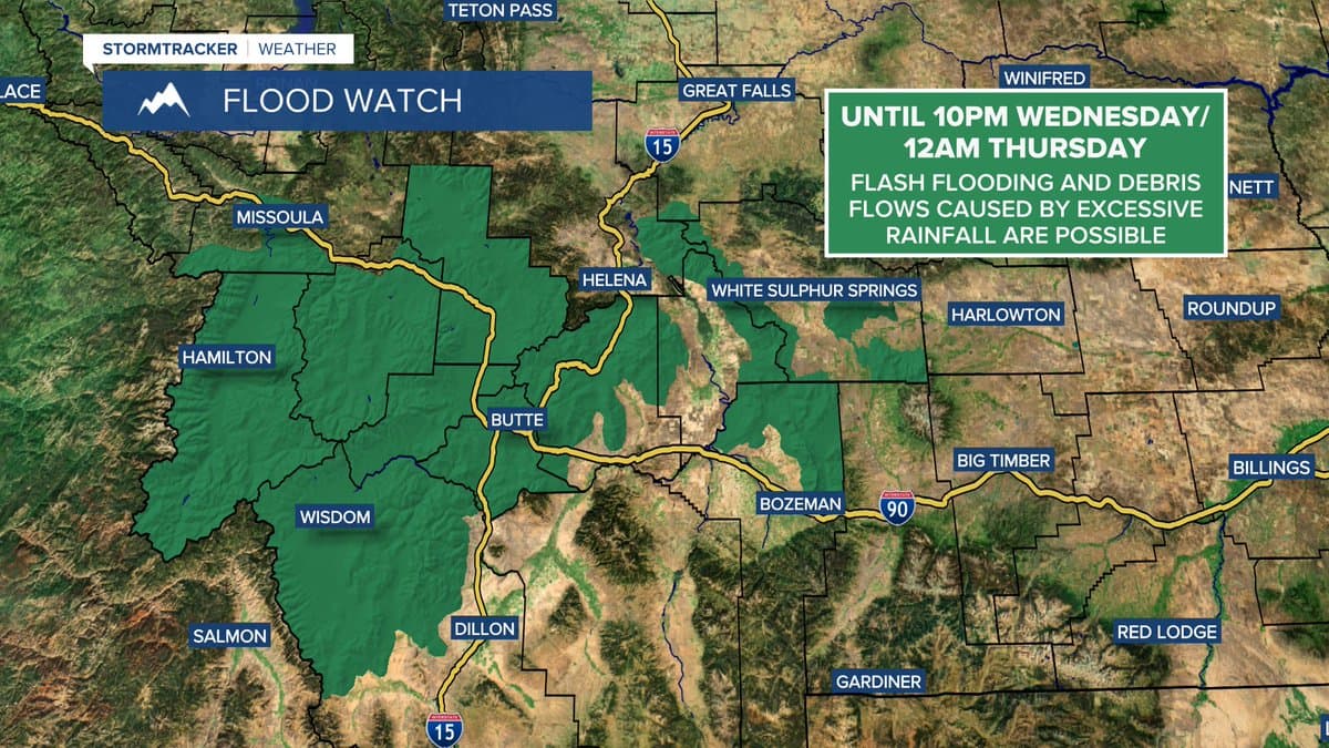
A flash flood warning was in effect for the Helena Regional Airport area Tuesday afternoon as thunderstorms pushed a flood watch over portions of southwestern Montana and the higher terrain around Helena through late tonight. The National Weather Service warned flash flooding and debris flows were possible because storms this afternoon and evening could dump excessive rain fast enough to overwhelm drains and steep slopes.
A Flash Flood Warning was in effect from 2:51 p.m. MDT until 5:45 p.m. MDT. Rainfall intensity and location can change rapidly, so one drainage can stay quiet while another suddenly turns dangerous.

The highest risk sat in the steep ground around Helena and in areas downhill and downstream from burned slopes. Fire-scarred terrain is especially vulnerable to flash flooding and debris flows, and even rain that seems modest can send water and debris racing downhill for years after a fire. The foothills and burn-scar zones around the city were the places most likely to see the first dangerous runoff if storms trained over the same ground.

Isolated severe thunderstorms were possible in the broader Montana weather picture, with strong, gusty winds as the main impact from severe storms, while flood-related alerts and watches were active statewide in Montana on July 1, 2026. Montana has a long flood record, including major historic events in 1908 and 1964, and southwestern Montana has been among the most flood-prone parts of the state in past significant floods.
For Helena-area residents, the practical risk before nightfall was not just heavy rain but fast runoff in the wrong place. Low crossings, steep drainages and burn-scar foothills could turn hazardous with little warning, leaving little time for travel delays, property damage and emergency response once water starts moving.
This article was produced by Prism’s automated news system from verified source data, official records, and press releases, then run through automated quality and moderation checks before publishing. The system is built and supervised by the people who set the standards it runs under. Read our full AI policy.
Did this article answer your question?