Helena Area Offers Dozens of Hiking Trails for Residents and Visitors
Spring mud and e-bike violations generate Helena's highest trail complaint volume. Here's the complete guide to rules, routes, and avoiding a citation or a rescue call.
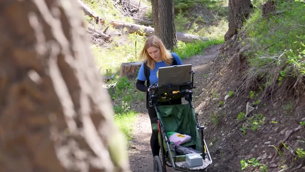
The City of Helena manages more than 1,950 acres of open lands above the capital, and when staff at the Reeders Village trailhead field their highest volume of calls each spring, the complaints cluster around three recurring problems: e-bike riders on restricted singletrack, dogs off-leash near the parking area, and hikers heading up the 1906 Trail's upper switchbacks during the mud window that can render trail surfaces unstable for weeks. Understanding those rules, and knowing which of the area's trails fit your schedule, fitness level, and the season, is the most practical preparation any Helena resident can make before heading out.
Mount Helena: Rules First, Then the 30-Mile Network
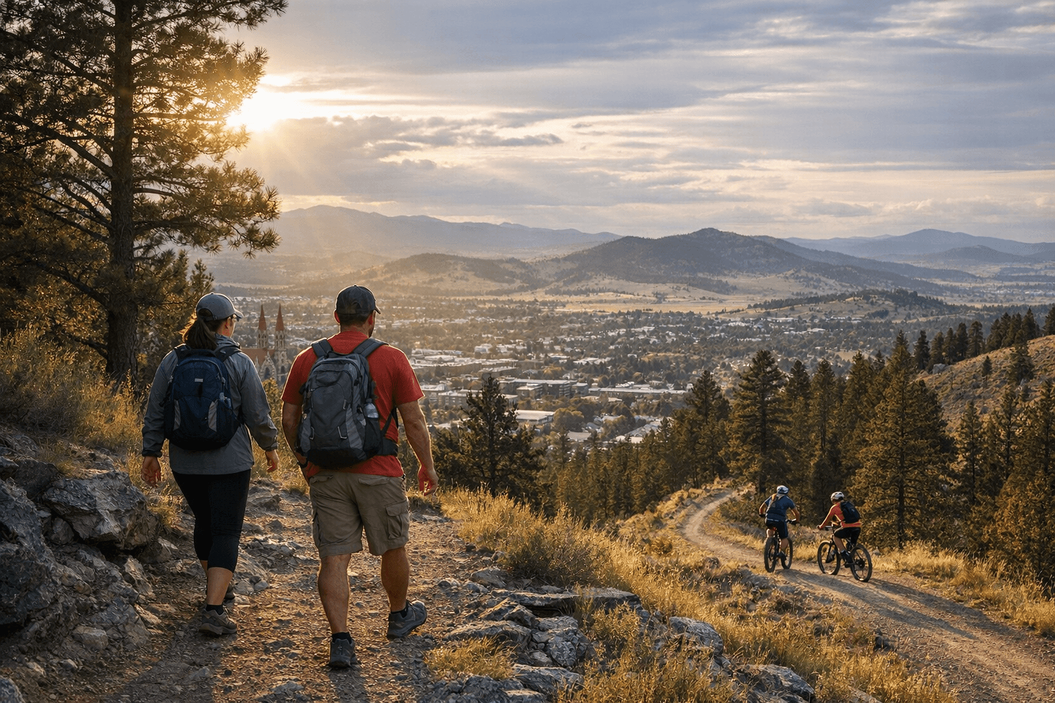
Mount Helena City Park is the most accessible trail complex in Lewis and Clark County, with more than 30 miles of named trails rising directly above downtown. The signature route, the 1906 Trail, climbs roughly 1,300 feet from the Reeders Village trailhead to the summit, where panoramic views take in downtown Helena, the Helena Valley, and distant ranges. The hill draws hikers, trail runners, and mountain bikers in enough volume that shared-use rules are enforced, not just suggested.
The city's dog policy is specific: dogs are allowed off-leash only when under voice control and only beyond 100 yards from the parking lot. Within that buffer zone, leashes are required. For cyclists sharing the trail with foot traffic, the right-of-way hierarchy is unambiguous: bikes yield to hikers and horses at all times, and a downhill rider yields to an uphill rider. These rules apply regardless of effort or speed.
On e-bikes, the situation requires particular attention. The Helena-Lewis and Clark National Forest classifies all e-bikes as motorized vehicles under federal regulation. Class 1 e-bikes are not permitted on Mount Helena's singletrack, in the South Hills trail system, or in the Scratchgravel Hills. Some city-managed parks do permit Class 1 e-bikes, including Tenmile Creek Park, Prickly Pear Park, The Grove, and Centennial Park. Riding a Class 1 e-bike on restricted singletrack is the most cited trail complaint in the Helena area and carries citation risk. If the trailhead you are parking at does not have posted permission for e-bikes, assume they are not allowed.
Parking at established trailheads reduces friction with surrounding residential neighborhoods. Arriving early on weekend mornings is the most reliable way to find a spot at Reeders Village; overflow along nearby streets can generate both neighbor complaints and, in some locations, parking citations.
The Seasonal Reality: Spring Is the Most Dangerous Window
Summer and early fall offer the most consistent conditions across all Helena-area trails. Snowpack is gone, tread is firm, and afternoon thunderstorms are the primary weather variable to watch. Spring is different in ways that catch visitors off guard more often than locals expect.
At lower elevations, frost-softened and rain-saturated trail surfaces erode under heavy boot traffic, and hiking them before they drain can trigger voluntary or enforced closures. On Mount Helena's upper switchbacks, compacted soil over limestone becomes slick when wet, and falls are more common in early spring and late fall than during peak summer. At higher elevations, snow can persist well into May at 7,000 to 9,000 feet, which matters most for Elkhorn and Crow Peak routes.
The counterintuitive fact about search and rescue in Montana: the most common rescue scenario is not a broken leg on a remote summit. It is a hiker who underestimated conditions, went above the snowline without appropriate gear, and became stranded; often in shorts and a light jacket at elevations where afternoon temperature swings exceed 30 degrees. That scenario has unfolded repeatedly on Montana trails within the past two seasons. Pack layers even if the Reeders Village parking lot feels warm when you leave the car.
Wildlife awareness is not optional in the Gates of the Mountains and Elkhorn corridors. The Helena-Lewis and Clark National Forest has an active food and wildlife attractant storage order covering its lands within the Northern Continental Divide Ecosystem. Bears and moose use riparian and forested terrain throughout these corridors; carry bear spray, make noise on brushy trail segments, and store food properly. These are requirements, not recommendations.
Gates of the Mountains and Missouri River Corridor
Roughly 20 miles north of Helena, the Gates of the Mountains offers a genuinely different trail experience. The area's canyon walls and riparian habitat are best experienced by boat, and float trips remain the primary way most visitors access the area's geological scale. For those arriving on foot, Mann Gulch and Refrigerator Canyon are the most significant hiking options. Both involve creek crossings and brushy trail segments, and Mann Gulch carries historical weight: the route commemorates the 1949 fire that killed 13 smoke jumpers in one of the most consequential wildfire disasters in Forest Service history. Route difficulty across the Gates area ranges from moderate day hikes to strenuous multi-mile outings. Detailed maps are essential, and logistics including boat access or shuttle arrangements should be arranged before arriving at the trailhead.
Elkhorn Mountains and Crow Peak: The Alpine Tier
For a more demanding day out, trails in the Elkhorn Mountains and routes to Crow Peak and Elkhorn Peak require a drive of 30 to 60 minutes from Helena but deliver higher alpine landscapes and steeper elevation gains than anything in the city limits. These routes are more remote by every measure: lower foot traffic, less maintained tread, and snowpack that can persist into late spring at upper elevations. A trail that looks passable on a mapping app in early May may still require microspikes above 7,500 feet. Check snow conditions and trailhead road access before committing; forest roads in the Elkhorn range can remain gated or deeply rutted well into May.
Choose-Your-Hike Matrix for Helena Residents
| Your Criteria | Best Route | Key Note |
|---|---|---|
| Under 2 hours after work | 1906 Trail, Mount Helena (partial or full summit) | Trailhead at Reeders Village; busy on weekday evenings |
| Kid-friendly, manageable grade | Lower Mount Helena loops, Reeders Village | Stay on marked trail; leash rules apply near the lot |
| Winter viability | Lower Mount Helena trails | Variable; confirm current conditions before going |
| Moderate difficulty, strong payoff | Mann Gulch or Refrigerator Canyon | Plan for creek crossings; bring a detailed map |
| Full-day alpine challenge | Crow Peak or Elkhorn Peak | 30-60 min drive; verify road and snow conditions first |
| Birding and river scenery | Gates of the Mountains float or river corridor | Boat access recommended; logistics plan required |
Planning Resources and Conditions Checks
Trail conditions in the Helena area shift quickly in shoulder seasons. AllTrails, onX Maps, and Helena Outdoors all publish user-updated trail reports, and consulting more than one platform before a spring or fall outing is worth the extra time. For river and wilderness routes, logistics including boat access, shuttle arrangements, and current road status should be confirmed before leaving Helena.
The City of Helena Parks Department and the Helena-Lewis and Clark National Forest both publish current closures and alerts for their respective lands. When conditions are uncertain, a phone call to either office before you drive to the trailhead is faster than finding a gated road or a closed trail after a 45-minute commute.
Know something we missed? Have a correction or additional information?
Submit a Tip