Prickly Pear Land Trust launches trail assessment tool for Helena hikers
Prickly Pear Land Trust’s new HETAP cart is set to put trail steepness, width, surface and cross-slope data online and at Helena trailheads after summer.
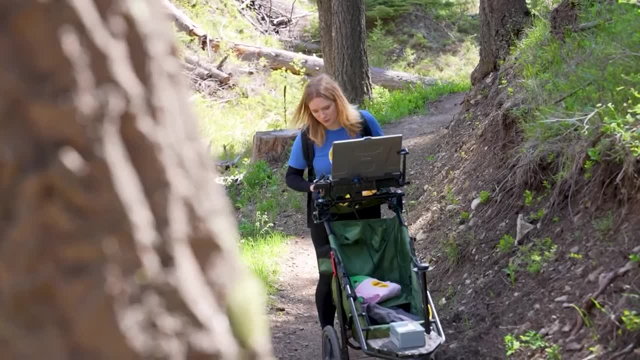
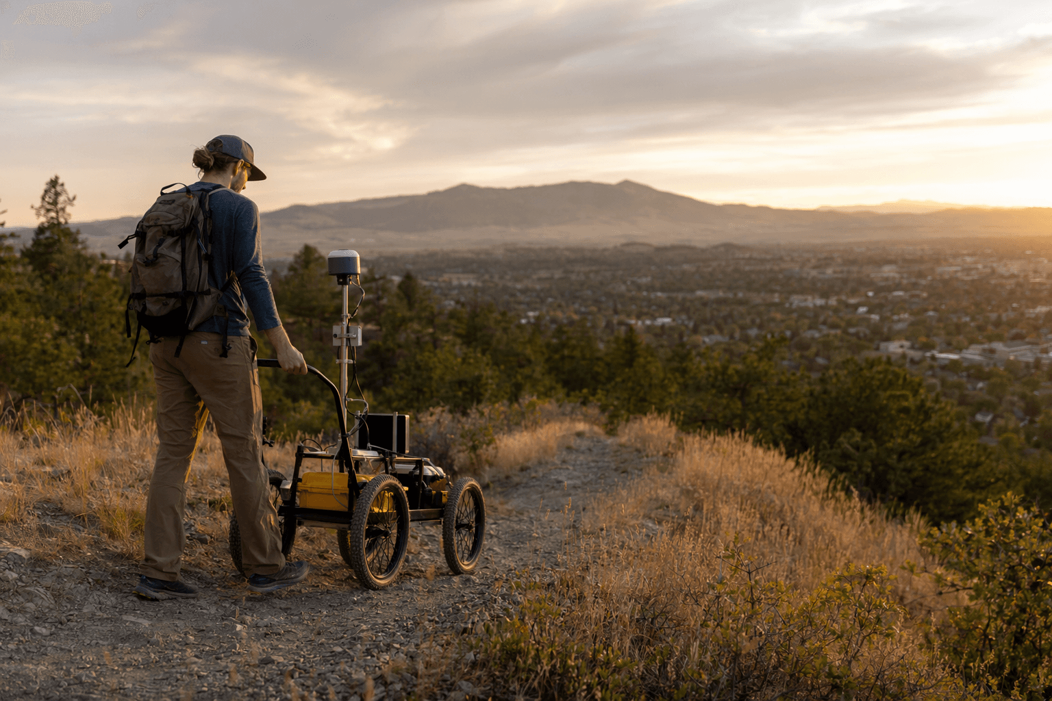
Prickly Pear Land Trust rolled out a new trail-assessment tool that could change how Helena residents choose where to hike, bike and walk in the South Hills. The cart, called the High Efficiency Trails Assessment Process Machine, or HETAP, uses wheel sensors, GPS and a camera to record steepness, width, surface material and cross slope as it moves down a trail.
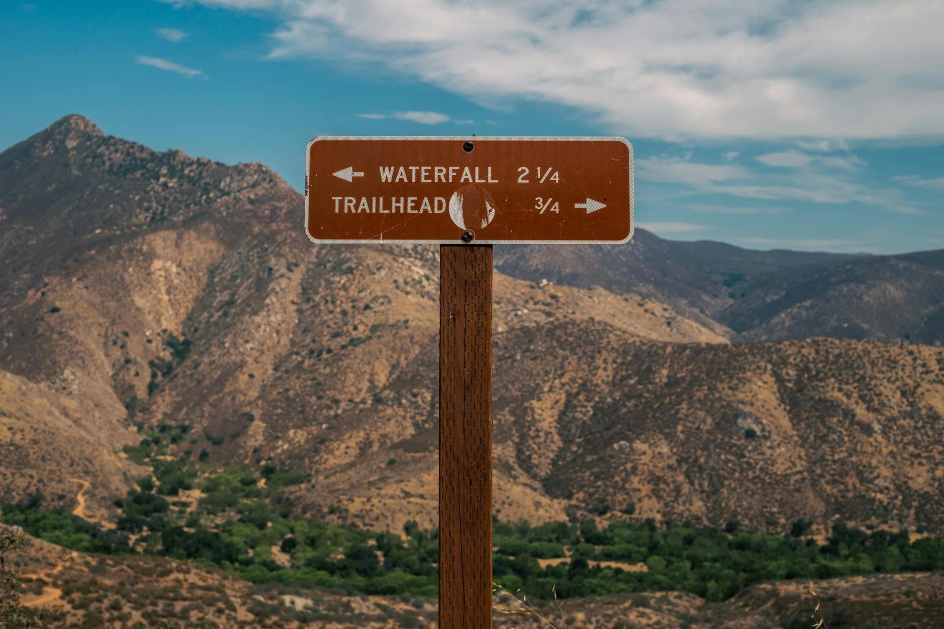
That information is meant to answer the questions people often cannot settle until they are already on the path: Is this route too steep for an older family member? Is it wide enough for a stroller, adaptive device or cautious newcomer? Is the surface smooth enough for a short afternoon outing, or rough enough to demand a different route? Prickly Pear Land Trust says the data will eventually be shared online and at trailheads after summer, giving hikers a clearer picture of what they will encounter before they head out.
The effort fits into a trail system that reaches far beyond a single segment of dirt. Prickly Pear Land Trust works with the City of Helena, the U.S. Forest Service, the Bureau of Land Management and private landowners to maintain the South Hills network. Helena’s trail map describes the area as a Silver Medal Ride Center, a designation from the International Mountain Bicycling Association that underscores how heavily local riders and hikers use the system.
The land trust says it has permanently protected 10,000 acres since 1995, including 100 park acres and about 100 trail miles in the South Hills. That scale is part of why better trail-condition data matters: a bad assumption about one route can send a family, a beginner or someone with mobility limits onto terrain that is harder than expected. Beneficial Designs says HETAP assessments are used nationwide to collect trail-access data and produce public information displays and GIS mapping products, pointing to a growing standard for how land managers explain trail conditions.

Prickly Pear Land Trust has also leaned on volunteers to keep that network usable. It says trail work accounted for 1,000 volunteer hours in 2024, alongside 2,680 field expert volunteers and 52 education and community events. A National Trails Day project at Prickly Pear Park drew 31 volunteers on June 7, 2025, and the group has public Trail Night opportunities in Helena and East Helena. A public trail work night is scheduled for May 19, with a larger National Trails Day project set for June 6.
The land trust says its conserved lands are the traditional and contemporary territories of the Niitsitapi, Sélish, Ktunaxa, Métis, Apsáalooke and Shoshone-Bannock peoples, adding another layer to a project aimed at making Helena trails easier to understand, easier to trust and more usable for more people.
This article was produced by Prism’s automated news system from verified source data, official records, and press releases, then run through automated quality and moderation checks before publishing. The system is built and supervised by the people who set the standards it runs under. Read our full AI policy.
Did this article answer your question?