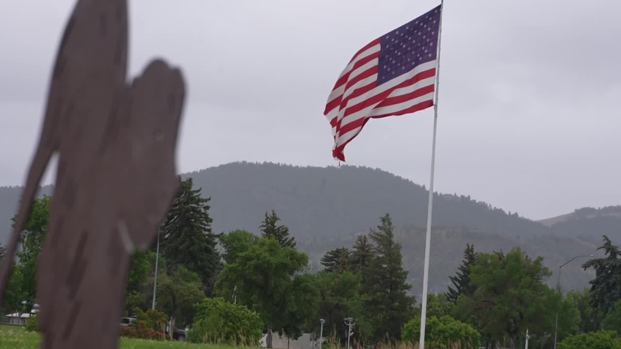
Helena trail crews battle erosion, weeds and water damage
Helena’s trail budget buys more than scenery. It keeps 40 miles of routes, 1,950 acres of open land and the Mount Helena access network from washing out, choking with weeds or going unsafe.

Helena maintains more than 2,140 acres across 30 parks and trail-related sites, including nearly 2,000 acres in the Helena Open Lands system and roughly 40 miles of designated multi-use trails. A small crew spends the warm months chasing erosion, weeds, fallen trees and water damage before those problems turn into closures, hazards or expensive repairs.
What residents get from the maintenance district
The city currently owns and manages more than 1,950 acres of undeveloped parkland, much of it in the South Hills and on the slopes around Mount Helena and Mount Ascension. Those open lands were assembled over more than 115 years through open space bond funds, donations and property purchases, and they are maintained by a voter-passed maintenance district that the Helena City Commission set in motion on January 8, 2007.
The system is an urban-wildland interface, where wildlands sit directly beside the built city, creating management problems that range from fire risk to runoff control. Helena’s open lands are used for hiking, running, biking, dog exercising, snowshoeing, cross-country skiing, wildlife and plant observation, and exploration of geological and cultural resources, while motorized and equestrian use are prohibited on HOL lands.
The Mount Helena Trailhead is the primary gateway to Mount Helena and the popular 1906 Trail, and the city’s system reaches the summit at 5,460 feet. No trail in the Helena Open Lands system was built to universal access standards, so the quality of tread, drainage and surface repair directly affects who can use a route safely and how far they can go.
Why erosion and water are the constant enemies
Trail maintenance begins when the snow melts and then rolls from one problem to the next through the warmer months, Tyler Wock, the assistant open lands manager, said. In June and July, the crew’s busiest period, a five-person team, depending on the day, moves through priority areas in “dig season” based on how badly a trail has deteriorated and how heavily it is used.
Water is the biggest force behind that damage. On steeper trails, runoff moves soil downhill, exposes rocks and makes the path harder to walk. If crews do not stay ahead of the problem, a smooth tread can become rutted, narrow or washed out, and the work gets harder once the soil dries into dust.
The fix list is straightforward: maintain existing drain dips or install new drainage features to intercept and divert surface runoff, replace decomposed granite where needed, and prune or remove vegetation in trail corridors. Those are the basic steps that keep a slope from shedding material, keep water off the tread and keep the route open after storms.
How the city decides where to send crews
Helena does not treat every trail the same. Wock and the open lands team walk the system looking for weeds, hazardous trees and water damage, then sort problems by severity and use. Heavy traffic areas get attention first, especially on routes that serve hikers, mountain bikers, runners and dog walkers throughout the South Hills network.

The city’s maintenance paperwork has grown more digital in recent years. Helena has used geographic information system mapping for roughly four years, and the City-County GIS Center maintains the city’s Open Lands Trails map in ArcGIS. That replaces the older paper-map method with something searchable and easier to update, making it simpler to track trouble spots and revisit them after storms or busy weekends.
Digital tracking was already showing up before that full shift. A 2020 trail inspection report shows staff used the Avenza PDF maps app on a smartphone to record GPS points and notes. The same report found that Helena trails saw a dramatic increase in use starting in March 2020 during Montana’s shelter-in-place orders, then took a beating from heavy spring rain and a long freeze-thaw cycle that left many routes muddy and rutted.
Why timing matters as much as labor
The trail crew does not have the luxury of waiting out the season. Once the ground dries too much, it can turn to powder and become harder to shape back into a durable surface. That means the city’s response window is narrow after snowmelt and spring runoff, when runoff, thaw and heavy use all collide.
The 2021 open lands maintenance plan required completed trail inspection forms to be filed by July 1, 2021. If the city misses the window, water features, tread repairs and vegetation work are harder to execute, and the next storm or peak-use weekend can amplify the damage.
The older 2020 inspection notes also showed that most trails were in good shape and needed only routine annual maintenance, but that “routine” still meant dealing with ruts, mud and drainage work.
A system built with public input and local volunteers
Helena’s open lands are managed with public oversight through the Helena Open Lands Management Advisory Committee, known as HOLMAC. The committee has served as a forum for city staff recommendations, public input and trail-project planning. It also draws on local trail organizations and volunteers.
Helena’s open lands history goes back more than 150 years, when the south hills were used for timber, grazing and building stone. Wildfires and extractive use degraded the foothills, and later generations responded with tree planting, property purchases, ending livestock grazing, reconstructing trails, acquiring Bureau of Land Management inholdings, writing management plans, creating natural park resolutions and passing open land acquisition bonds.
This article was produced by Prism’s automated news system from verified source data, official records, and press releases, then run through automated quality and moderation checks before publishing. The system is built and supervised by the people who set the standards it runs under. Read our full AI policy.
Did this article answer your question?