Mount Helena City Park anchors Helena’s open-space network and history
Mount Helena is Helena’s 707-acre open-space anchor, but keeping it usable depends on maintenance funding, fire recovery, and access rules that shape every hike.
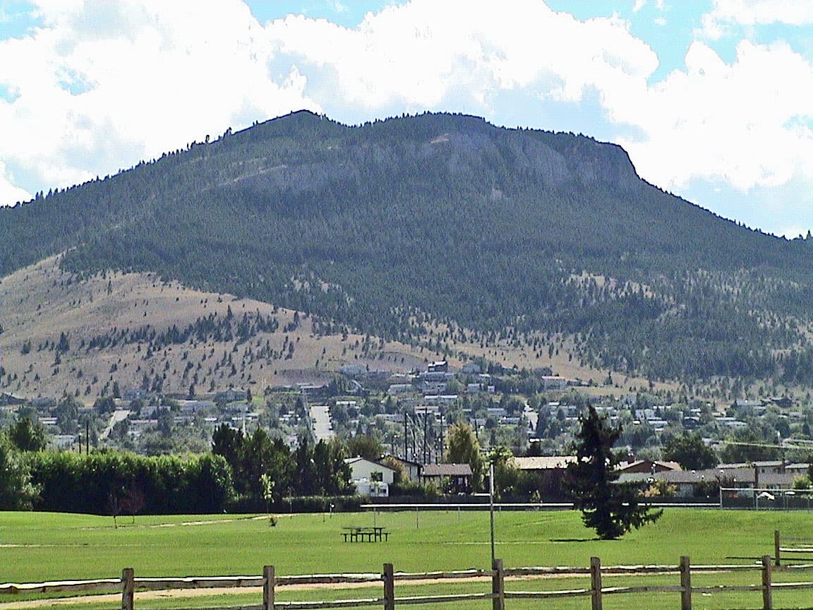
Mount Helena City Park is where Helena’s open-space debate turns physical: a 707-acre mountain in the middle of a city system that now covers more than 1,950 acres of undeveloped parkland. The trailhead at Reeders Village Drive is the main public doorway into that landscape, and the choices that keep it open, repaired, and safe now matter as much as the summit view.
A mountain built into Helena’s identity
Mount Helena did not begin as a scenic amenity. A city park on the mountain was proposed in 1898, and Helena schoolchildren were already planting trees there by Arbor Day 1899, carrying evergreen seedlings onto lightning-scorched slopes. Residents formally dedicated the 700-acre park on July 4, 1904, and in 1906 the U.S. Forest Service donated 30,000 pine and fir seedlings to help replant areas damaged by logging and fire.
That history still shapes how people use the park today. The view from the parking area looks out over the city below, which helps explain why Mount Helena remains one of Helena’s most visible civic assets rather than just another trail system. It is a place where recreation, memory, and public land policy all occupy the same hillside.
How to start at the trailhead
For most visitors, the Mount Helena Trailhead at the end of Reeders Village Drive is the place to begin. The city identifies it as the primary access point to Mount Helena and highlights the popular 1906 Trail, a moderately difficult summit hike that typically takes about two hours. The same area is used for hiking, running, and mountain biking, so the trailhead has to serve several kinds of users at once.
The city’s trail map also gives you more than one way up. One version of the Options for Wellness guide describes the 1906 Trail to the summit and back down via Prospect Shafts as a 3.2-mile route with an average slope of 14 percent. It also lists the climb at 668 calories burned hiking, a reminder that this is a short outing only if you are ready for sustained uphill work.
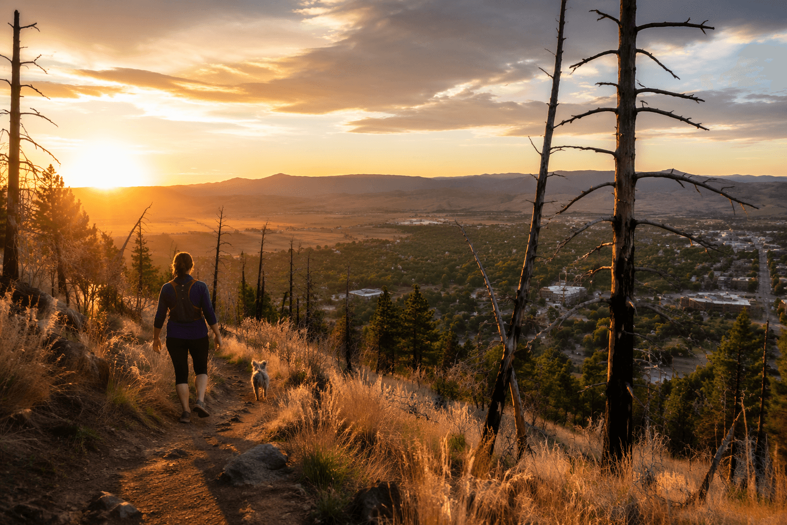
Basic trailhead services are straightforward but useful: pet waste bags, trash receptacles, and vault latrines. Dogs are allowed off-leash 100 yards from the parking lot as long as they stay under voice control, a rule that matters on a trailhead where hikers, runners, bikes, and pets all share the same access point.
The open-space system behind the hike
Mount Helena is part of a larger city-managed network, not an isolated park. The City of Helena says it owns and manages more than 1,950 acres of undeveloped parkland, and Mount Helena City Park is the anchor of that system. Prickly Pear Land Trust says it has helped add more than 1,300 acres to Mount Ascension Park and Mount Helena City Park, while the city manages about 40 miles of trails in the South Hills.
That broader footprint explains why Mount Helena matters to Lewis and Clark County beyond a single summit route. The city says these open lands are especially complicated to manage because wildlands sit right next to an urban environment. In practice, that means Helena has to balance recreation, wildlife, fire conditions, and day-to-day maintenance on land that is used like a neighborhood park but behaves like backcountry.
Much of the current system traces back to the 1995 open-space bond, which allowed the city to buy land for public use. The Helena Comprehensive Park Plan says those purchases, paired with donations, built the open-space base the city manages now.
What it costs to keep the mountain open
Keeping Mount Helena functional is not free, and the city has built a funding structure around that reality. Open Space Maintenance District No. 1 was created on January 29, 2007, after the City Commission voted to establish a maintenance assessment for open-space care. A city maintenance packet says the district’s charge is a $7 annual base assessment per individual property, plus $0.00215 per square foot of impervious area above 2,222 square feet.
That financing matters because the park is used hard. Mount Helena is not just a place for occasional sightseeing; it is part of the city’s daily recreation network, with runners, hikers, bikers, and dog walkers all using the same public land. When a mountain sits on the edge of a city and draws regular traffic, maintenance is not a side issue. It is the condition that decides whether the trailhead stays safe, whether the routes stay usable, and whether the landscape can absorb the pressure of constant access.
The Helena Open Lands Management Advisory Committee says the lands were acquired through open-space bond funds and donations and are maintained by a voter-passed district. That makes Mount Helena one of the clearest examples in Helena of how public land survives through an ongoing local payment system, not a one-time purchase.
Fire recovery is part of the story now
Mount Helena’s future is also shaped by fire. In 2023, the city hosted an Arbor Day tree-planting event with Central Elementary School in burned areas left from the 2022 Mount Helena fire. That event connected the park’s original planting tradition to a new round of restoration, showing that the mountain is still a living project rather than a finished monument.
For Helena, that means the mountain is always in a state of management. Trail access, maintenance dollars, and replanting after fire all affect the same public asset. Mount Helena’s value comes from being open, but keeping it open takes routine work, steady funding, and choices that will keep deciding whether the city’s signature hike remains usable and safe.
This article was produced by Prism’s automated news system from verified source data, official records, and press releases, then run through automated quality and moderation checks before publishing. The system is built and supervised by the people who set the standards it runs under. Read our full AI policy.
Did this article answer your question?


