Mount Helena, Helena’s first cultural landscape, preserves city history
Mount Helena is Helena’s first cultural landscape, but it still works as a public park. Its historic listing shapes trails, views, and growth without freezing the mountain in place.
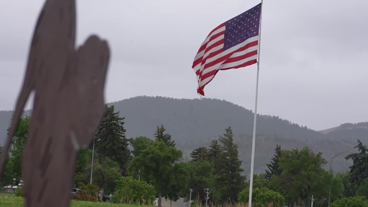
Mount Helena is one of Helena’s most visible public assets, but the real story is not just the hike. The Mount Helena Historic District, also known as Mount Helena City Park, was listed on the National Register of Historic Places in 1997 as Helena’s first cultural landscape, and it covers more than 680 acres within the city limits. That designation recognizes a mountain shaped by nature and by Helena residents since 1864, which is why the site reads today as both open space and civic memory.
A mountain shaped by use, not just preservation
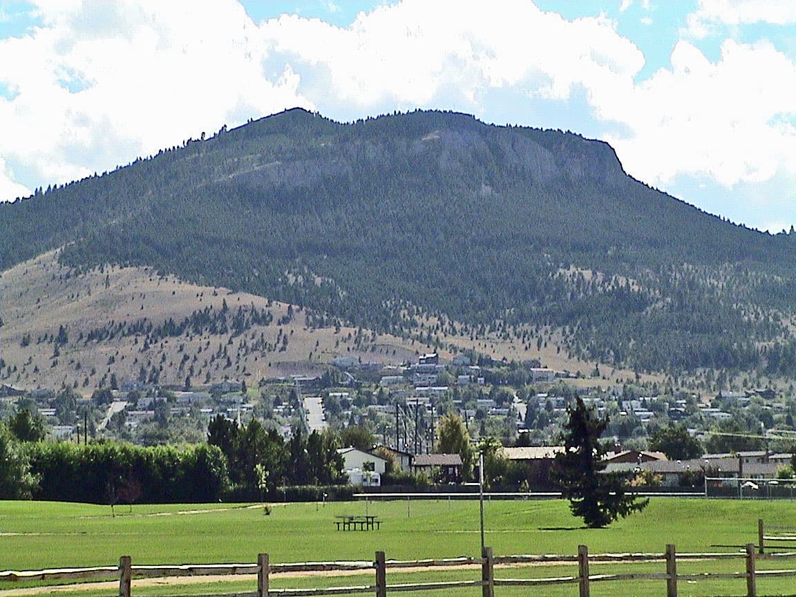
The district’s landscape is unusually varied for something so close to downtown. Its terrain includes rolling prairie, thicketed gullies, gulches, hills, exposed benches, conifer forest, a prominent rock peak, and Devil’s Kitchen, the cave on the north face that gives the mountain one of its most distinctive landmarks. The practical result is that Mount Helena functions as a rugged trail system, a scenic overlook, and a historic resource all at once. Because the district sits inside Helena’s city limits, it is also one of the clearest examples in town of how urban life and open space can meet without wiping out the mountain’s character.
The city’s open-lands system gives that history immediate relevance. Helena’s Parks, Recreation & Open Lands Department says the city owns and manages more than 1,950 acres of undeveloped parkland, and Mount Helena is one of its flagship properties. The broader city system now includes more than 2,140 acres of developed and undeveloped parkland, showing that the mountain is part of a larger public network rather than a stand-alone preserve.
How Helena turned extraction country into public land
The south hills were not always treated as a recreation asset. In Helena’s early years, the south hills supplied timber, grazing, and building stone for the growing city. Repeated extraction and several wildfires degraded the foothills enough that residents shifted direction toward restoration, tree planting, and land acquisition. That pivot is the central reason Mount Helena became a preservation priority instead of a private or exhausted industrial landscape.
The timeline matters. A city park was proposed in 1898, and on Arbor Day 1899 Helena schoolchildren carried baskets of evergreen seedlings up the lightning-scorched slopes and planted trees. Residents dedicated the 700-acre park on July 4, 1904, and in 1906 the U.S. Forest Service donated 30,000 pine and fir seedlings to replant hillsides stripped by logging and fire. Those dates show that the mountain’s public identity was built deliberately, through civic labor and restoration, not just through zoning or map lines.
That history is why Mount Helena is best understood as a cultural landscape. It is not simply land that was left untouched. It is land that was actively repaired, planted, purchased, and folded into Helena’s public life over generations.
What the historic district means for visitors today
For people using the mountain now, the most important thing is that the designation does not turn Mount Helena into a museum piece. The Mount Helena Trailhead is the primary access point, and the 1906 Trail is highlighted as a signature route. The park also includes seven trails, with trail maps and city pages identifying routes and access points such as Daisy Hill, Le Grande Cannon, Powerline, Ambrose, and the 1906 Trail. That makes the mountain a flexible destination for hiking, running, and mountain biking rather than a single-purpose scenic overlook.
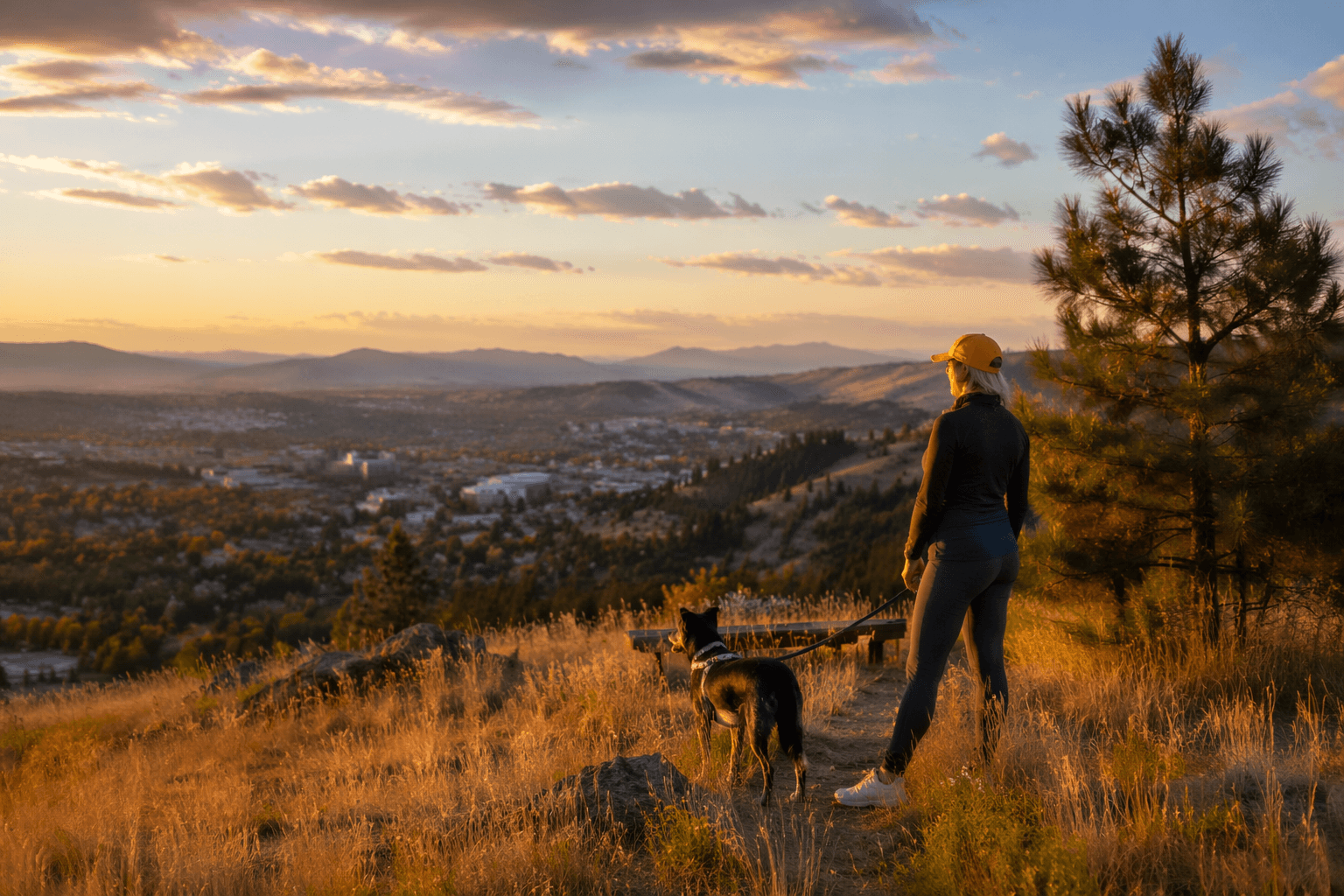
The district’s urban location is part of its appeal. Locals can move from downtown streets into a rugged mountain setting in minutes, which is one reason the mountain draws steady use across seasons. The historic listing supports that use by keeping the area public and legible as open space, while the city and conservation partners continue to manage the trail network and surrounding land.
The record of active work also shows what the designation does not do. It does not freeze the mountain in one exact condition forever. Helena’s trail system continues to be maintained, edited, and adapted, with reroutes and construction elsewhere in the open-lands network. In practice, that means the city can improve access, protect the landscape, and respond to wear and weather without abandoning the historic character that makes the mountain worth protecting in the first place.
What it means for trail work, park improvements, and nearby growth
Mount Helena’s historic status is part of how the city decides what kind of work belongs there. The current stewardship goal for Helena open lands is to preserve, restore, and enhance their natural character while keeping them accessible. Open lands are acquired through open-space bond funds and donations, according to the Helena Open Lands Management Advisory Committee, which gives the mountain a direct tie to public finance and voter-backed land policy.
That matters for trail work and park improvements because the mountain is managed as a public asset, not as untouched wilderness. The city can improve trailheads, maintain routes, and keep the landscape usable while still honoring the historic district’s character. The same framework also shapes adjacent development. Mount Helena’s role as an enclosed, city-bound open space places a durable limit on how the skyline above Helena is used, while still allowing the surrounding city to grow around a protected core.
Local conservation partnerships reinforce that model. Prickly Pear Land Trust says it has built more than 80 miles of trails in Helena’s South Hills since 1995 and has added more than 1,300 acres to Mount Ascension Park and Mount Helena City Park. Those numbers show that Helena’s open-space system is not static. It is a working public landscape shaped by city government, nonprofit land conservation, and residents who continue to treat the south hills as shared infrastructure.
Why Mount Helena still draws people and money to the city
Mount Helena’s value is not only sentimental. As Helena’s first cultural landscape, it helps define the city’s identity for visitors, newcomers, and longtime residents alike. The park’s blend of history, geology, trail access, and downtown proximity gives it a tourism value that few municipal assets can match. People come for the view and stay because the place tells a story about how Helena chose to use its land.
That story still matters to Lewis and Clark County because it shows a public decision that continues to pay off: the mountain above town was kept open, restored, and made accessible. Mount Helena remains a place where historic designation, trail planning, and civic stewardship meet on the same slopes, and that is what keeps the district relevant long after its 1997 listing.
This article was produced by Prism’s automated news system from verified source data, official records, and press releases, then run through automated quality and moderation checks before publishing. The system is built and supervised by the people who set the standards it runs under. Read our full AI policy.
Did this article answer your question?