Summary and local guide: Mount Helena City Park and the Mount Helena Ridge offer some of
Mount Helena trails offer accessible hiking, biking and year-round recreation; the 1906 Trail climbs about 1,000+ feet to summit views of Helena and Prickly Pear Valley.

Mount Helena City Park and the Mount Helena Ridge provide some of the most used and accessible trail options in Lewis and Clark County, with a central trailhead at the end of Reeder’s Village Drive. The signature 1906 Trail is a moderate route, roughly 2-3 miles round-trip depending on exact approach, and gains more than 1,000 feet to a summit that overlooks Helena, the Prickly Pear Valley and surrounding ranges. Those summit views reward a steady climb and make the route a popular choice for short day outings.
Beyond the 1906 Trail, the network includes the Prairie Trail, Waterline Trail loop and the Backside Loop, plus connections into the South Hills trail system. These linked trails let residents choose shorter neighborhood walks or longer runs and mountain bike loops, creating options for a wide range of fitness levels. Summer and fall see the heaviest use for hiking and mountain biking, while winter use shifts toward hiking and snowshoeing where conditions permit. The year-round availability of trails supports ongoing outdoor activity for local families, commuters who run or bike for exercise, and older adults seeking accessible nature contact.
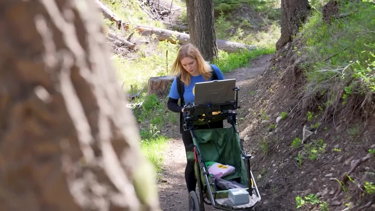
Public health and community equity are central to why the Mount Helena network matters. Free, nearby outdoor space lowers barriers to regular physical activity and mental health benefits associated with time in nature. Accessible routes that start at Reeder’s Village Drive and link to town-adjacent neighborhoods help residents without cars get outside. Trail safety and shared-use etiquette protect that access: carry water, dress in layers, be prepared for rapid weather changes, pack out trash, and keep dogs leashed near trailheads and in town-adjacent areas. Trail users should observe yielding norms where bicyclists yield to hikers and uphill users have priority to reduce conflicts and injuries.
Trail maintenance, clear signage and equitable access to maps are key to sustaining these community benefits. Official trail maps and route details are posted on the City of Helena parks pages and the Visit Helena visitor site, and ridge connections are shown on Helena National Forest / USFS maps. Checking those resources before heading out helps plan for distance, elevation and seasonal conditions.
For Lewis and Clark County residents, Mount Helena offers a reliable outdoor option that supports physical activity, social connection and local tourism. Preserve those benefits by planning trips with safety in mind, respecting shared-use etiquette, and participating in trail stewardship so the ridge remains open and welcoming for everyone who walks, runs or rides its slopes.
Know something we missed? Have a correction or additional information?
Submit a Tip