Thin Snowpack Heightens Water and Fire Risks in Lewis and Clark
Natural Resources Conservation Service data at the end of December 2025 showed Montana’s statewide snowpack running below long-term averages, raising local concerns about water supply and the coming fire season. Short- to medium-term forecasts from the National Weather Service offer a possible turnaround, with above-average precipitation expected in many regions in the weeks and months ahead.
Statewide measurements compiled by the Natural Resources Conservation Service through the end of December 2025 indicated snowpack levels below long-term averages, a condition that has drawn attention from water managers in and around Lewis and Clark County. The shortfall increases uncertainty for spring runoff, reservoir fill and irrigation allocations at a time of year when agencies are already planning seasonal operations.
Aerial imagery flown over mountain basins in late December and early January showed visibly thinner snow cover at lower elevations and patchy accumulation on south-facing slopes. That spatial variability matters for local water managers because Lewis and Clark County draws from multiple upstream basins that do not track in lockstep. Some basins feeding the county were nearer to normal, while others lagged, creating a mixed supply picture for municipal systems, ranchers and irrigators.
River and stream flows have so far been inconsistent. Regional reporting and river-gauge observations documented higher-than-normal flows in certain waterways, a pattern linked to warm-season runoff persistence and midwinter precipitation anomalies, while other tributaries remained low for the season. Those mismatches complicate reservoir operations: managers must balance short-term flood control on higher-flow systems with conserving storage where inflows are depressed.
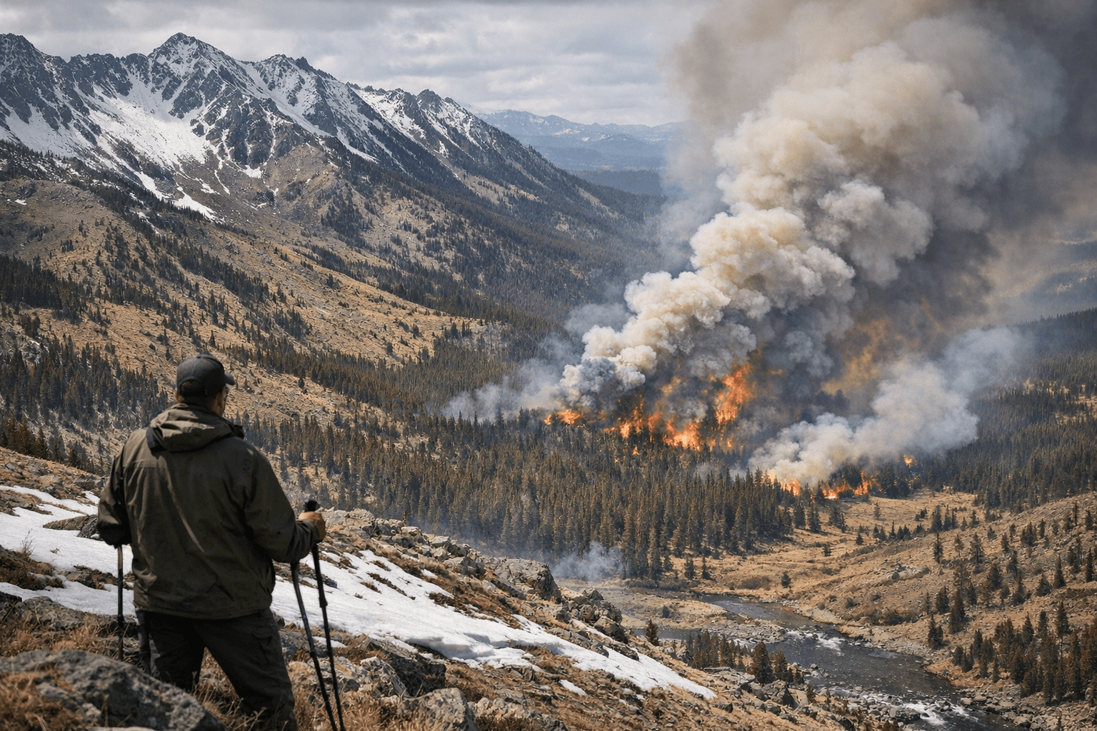
The National Weather Service issued short- to medium-term forecasts that included a probability of above-average precipitation across many parts of Montana over the coming weeks and months. If realized, additional snowfall and precipitation could materially improve basin snowpacks and ease near-term supply concerns. Conversely, a continuation of below-average accumulation would raise the risk of constrained irrigation deliveries, reduced reservoir refill, and a heightened fire-season outlook later in 2026.
For Lewis and Clark County residents, the economic implications are tangible. Lower snowpack can reduce revenue for winter recreation operators and affect water-dependent businesses and farms. Municipal planners and local utilities may need to temper water-use expectations and accelerate conservation messaging if forecasts do not improve. Fire agencies will be watching spring vegetation and soil moisture closely, since dry winters increase the odds of an active fire season.
Managers and residents should watch incoming precipitation reports and reservoir notices over the next several weeks. While the near-term forecast offers a potential reprieve, the current data underscore the county’s exposure to inter-basin variability and the importance of adaptive water management heading into the 2026 runoff and fire seasons.
Know something we missed? Have a correction or additional information?
Submit a Tip