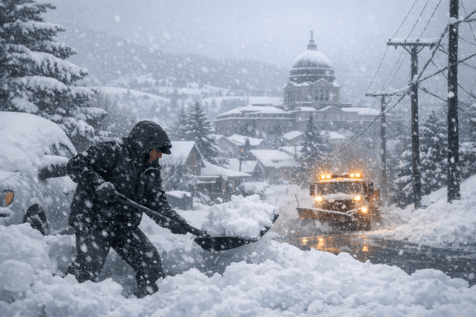
Winter Storm Dumps 6-Plus Inches of Snow on Lewis and Clark County
Six inches of snow have already fallen near Helena as a Winter Storm Warning keeps Lewis and Clark County under threat through 6 PM Friday.

Six inches of snow have fallen at a reporting station 11 miles west of Helena, with 1.5 inches recorded near Wolf Creek, as a Winter Storm Warning remains in effect for the Helena Valley and surrounding mountains through 6 PM Friday, March 14.
Forecasters are warning residents to expect total snow accumulations between 6 and 12 inches across the county, with 1 to 3 feet possible in the mountains. Winds gusting as high as 40 mph compound the danger, and travel conditions are described as dangerous or impossible in the affected areas.
Saturday, March 14 brings the storm's most intense period. Temperatures are forecast to rise to near 25 degrees by mid-morning before dropping sharply to around 13 degrees by evening, with wind chill values as low as -5. An additional 3 to 7 inches of new snow is possible through the day, with gusts reaching 33 mph. Overnight Friday into Saturday, another 3 to 5 inches could accumulate before the heavier daytime snow arrives.
The storm stretches well beyond Lewis and Clark County. NWS Glasgow issued a Winter Storm Warning at 1:56 AM MDT Thursday for Petroleum and Southwest Phillips Counties, valid through midnight Saturday night, with 7 to 14 additional inches expected. That same office extended a separate warning for portions of central and south central Montana through 6 AM Sunday, cautioning that roads will be slushy through Friday and that conditions will deteriorate further Friday night through Saturday evening. NWS Glasgow also noted that cold and wet conditions will be dangerous for young livestock. NWS Billings issued a Winter Storm Watch at 1:46 AM Thursday, running through 6 AM Saturday.
Corridors facing major disruption include Highway 200 from Bonner to Greenough, Highway 83 from Seeley Lake to Condon, and I-90 from East Missoula to Bearmouth. Forecasters warn the hazardous conditions could hit both the Friday morning and evening commutes especially hard over higher passes, and that widespread closures and disruptions to infrastructure are possible.
Roads, and especially bridges, will become slick and hazardous, according to NWS Glasgow, which warned that travel could be very difficult to impossible. The advice from forecasters is direct: avoid travel in impacted areas if possible.
Sunday offers some relief, with only a 20 percent chance of snow and mostly sunny skies, though temperatures remain well below freezing with a high near 27 and wind chills still dipping to -5. A 50 percent chance of snow returns after midnight Sunday, with less than a half inch of additional accumulation possible before the week turns to rain and snow by Monday, March 16.
Know something we missed? Have a correction or additional information?
Submit a Tip