Logan County Drivers: Where to Find Road Conditions and Closures Fast
Logan County roads can close fast — here's exactly where to look first when weather, oversize loads, or emergency closures threaten your commute.

When a sudden spring storm drops across the high plains or an oversize agricultural load blocks a key stretch of road, Logan County drivers don't have time to dig through outdated websites or wait for word to spread on social media. Knowing exactly where to look before you leave the driveway can mean the difference between a smooth trip to Sterling and an hour sitting behind a closure you never saw coming.
Start with COtrip: Colorado's Real-Time Road Portal
COtrip is the first stop for any driver in Logan County who needs current, reliable information about road conditions. Managed by the Colorado Department of Transportation (CDOT), COtrip pulls together live traffic camera feeds, road condition reports, construction zone alerts, and closure notifications across the state highway system — including the stretches of Interstate 76 and US 6 that carry much of Logan County's daily traffic.
The platform updates continuously, which matters when conditions on the eastern plains can shift from clear to hazardous within minutes during a blizzard or high-wind event. You can filter by region or corridor, making it straightforward to zero in on the specific roads between Sterling and neighboring counties without sifting through information irrelevant to your route.
COtrip is accessible as both a desktop website and a mobile application, so whether you're checking conditions from home or pulling over to reassess mid-trip, the same data is available. Bookmark it now, before you need it.
CDOT Alerts and Notifications
Beyond the map interface, CDOT offers direct notification tools that push road information to you rather than requiring you to seek it out. Signing up for CDOT email or text alerts tied to specific routes means that a planned closure on I-76 near Sterling reaches your phone before you've committed to the drive.
CDOT also maintains an active presence on social media platforms, where district-level accounts post urgent updates about emergency closures, weather-related restrictions, and oversize load movements that affect travel windows. CDOT's northeast district covers Logan County and surrounding counties, so following the appropriate district account keeps regional updates in your feed without the noise of statewide announcements that have no bearing on your daily routes.
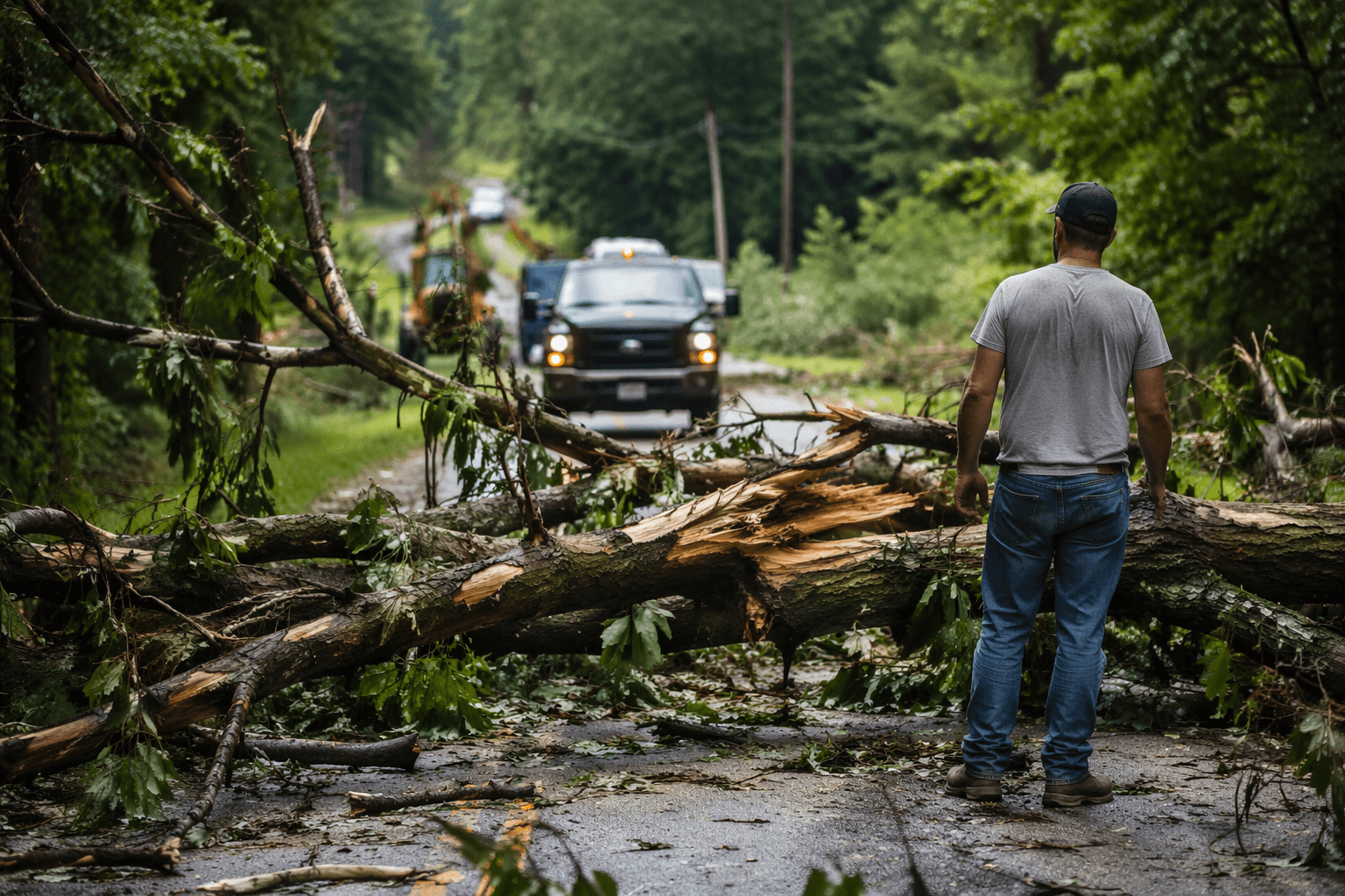
For situations involving oversize or overweight loads, CDOT coordinates permit requirements and travel windows, which often restrict those loads to specific hours or days. Agricultural moves during harvest and planting seasons are particularly common in Logan County, where large equipment crossing or traveling along county roads can temporarily delay traffic on routes that don't have easy alternate options.
Planned Closures and Special-Event Traffic
Not every disruption is weather-driven. Planned closures for road maintenance, bridge work, or utility projects follow a schedule that CDOT publishes in advance. Checking COtrip or the CDOT project page for northeastern Colorado before a long trip can surface construction windows you'd otherwise encounter without warning.
Special events that draw significant traffic through or around Sterling, the county seat, can also create congestion patterns that don't show up in standard road condition reports. For these situations, local awareness matters: the Logan County Sheriff's Office and Sterling city communications channels sometimes post event-related traffic guidance that supplements what CDOT provides. Monitoring official county and city social media accounts adds a layer of local intelligence that a statewide platform may not capture at the neighborhood level.
Emergency Closures: When Conditions Change Without Warning
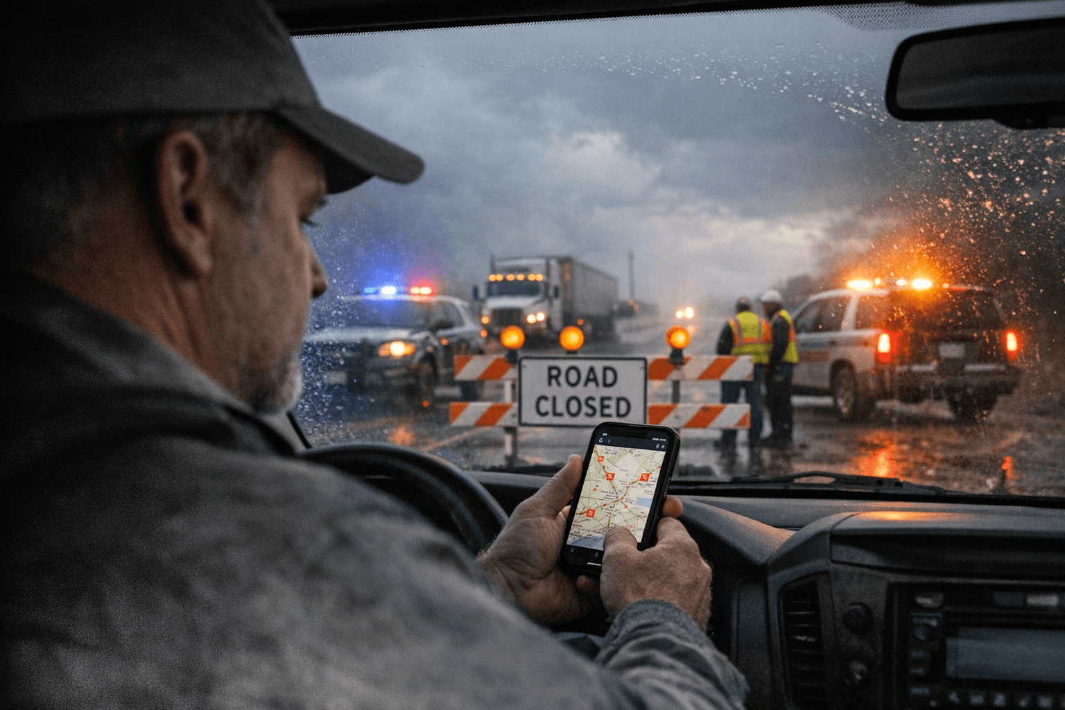
Eastern Colorado weather is unpredictable, and emergency closures on I-76 or state highways through Logan County can happen with very little lead time. During severe winter storms, CDOT has authority to close interstate segments entirely — and those decisions can cascade quickly across connecting roads as traffic diverts.
In those moments, the 511 system is a critical backup. Dialing 511 from anywhere in Colorado connects you to an automated road condition line where you can request information by route number. It's particularly useful when you're already driving and can't safely interact with an app or website. The 511 system draws from the same CDOT data that powers COtrip, so the information is consistent and current.
Colorado State Patrol also broadcasts road closure and hazard information, and during major weather events their updates often appear faster than formal CDOT postings because troopers are physically on the affected roads. Following Colorado State Patrol's northeastern Colorado communications gives you another real-time source for the kind of emergency information that matters most when you're deciding whether to travel at all.
Building Your Personal Road Conditions Routine
The most prepared Logan County drivers don't wait for a closure to discover their resources. Treating road condition checks as a routine part of trip planning — particularly from October through April when plains weather is most volatile — means you already know where to look when a situation develops quickly.
A practical approach:
- Save COtrip as a browser bookmark and download the mobile app
- Follow CDOT's northeast district social media accounts
- Set up CDOT route-specific alerts for I-76 and any state highways on your regular commute
- Save 511 in your phone contacts for hands-free access while driving
- Follow Logan County Sheriff and Sterling city channels for locally-sourced updates on events and emergency conditions
Advisories shift constantly — a road that was clear at 6 a.m. can be closed by 8 a.m. during a spring storm — so checking conditions close to your departure time is more reliable than checking the night before for anything weather-related. For planned closures and construction schedules, earlier checks give you time to adjust your route or your departure window without the stress of discovering the problem at the on-ramp.
Logan County's position along I-76 makes it a through-corridor for regional traffic as well as a destination, which means closures here ripple outward. Staying informed protects not just your own travel plans, but puts you ahead of the delays that catch unprepared drivers off guard on one of northeastern Colorado's most traveled stretches of highway.
This article was produced by Prism’s automated news system from verified source data, official records, and press releases, then run through automated quality and moderation checks before publishing. The system is built and supervised by the people who set the standards it runs under. Read our full AI policy.
Did this article answer your question?