Panther Wildlife Management Area maps McDowell County’s rugged backcountry
Panther Wildlife Management Area spans about 7,820 acres along Panther Creek, with camping, hunting, trout fishing, and ridge-top access near Iaeger.
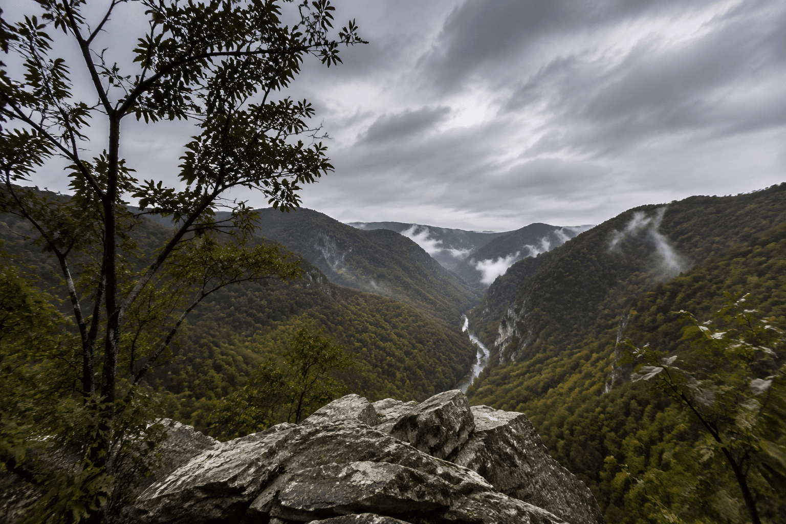
Panther Wildlife Management Area is one of McDowell County’s most useful public lands because it is large, mapped in detail, and built for real use. Centered on Panther Creek in southwestern McDowell County, the area covers about 7,820 acres and stretches across a rugged backcountry of ridges, forks, and branches that shape how people move through it.
A mapped landscape, not just a patch of woods
The West Virginia Division of Natural Resources map makes clear that Panther is a layered mountain system, not a simple roadside park. It names Panther Creek, Tug Fork, Horse Creek, Trace Fork, Deerskin Branch, Cub Branch, State Line Ridge, Sourwood Ridge, Bee Ridge, Baker Ridge, and Estep Ridge, which tells you the terrain is organized around drainage lines and ridge tops.
That matters on the ground. In a place like Panther, the ridge names and hollow names are the navigation system, especially for hunting, scouting, or anyone trying to understand where one branch of the watershed ends and another begins. The map also labels the superintendent’s residence, the office manager’s residence, and a group camp, showing that Panther is an actively managed property with a public footprint that goes beyond the trees.
How to reach the entrance
A 2015 Panther brochure gives the clearest access instructions. From U.S. Route 52, one mile north of Iaeger, turn at the area sign for Panther. At the Panther Post Office, turn left and follow the road about 3.5 miles to the WMA entrance.
That route says a lot about the place itself. Panther sits in the rugged mountains near West Virginia’s southern border with Virginia and Kentucky, so access is tied to county roads and careful route-finding rather than broad highway frontage. For anyone heading in for the first time, the map is not optional reading. The terrain is spread out, the elevations change quickly, and the named features are far enough apart that a wrong turn can send you into a different drainage entirely.
What you can do there
Panther is built for multiple forms of outdoor use, not just one season or one user group. The brochure says the WMA offers a small campground in heavily wooded surroundings, along with hiking trails to scenic overlooks, trout fishing, picnicking, swimming, and hunting.
The camping footprint is modest. An online campground listing describes Panther as seasonal and lists six sites, all with electric service. That points to a small, low-intensity campground rather than a large developed park, which fits the backcountry setting and the managed wildlife-land role.
For families, the variety matters. A single trip can mean a short hike, a picnic, a cast for trout, or a weekend campout without leaving the WMA. For hunters, the acreage and the maze of ridges and hollows make Panther a serious public-lands property, not a token parcel.
Why the geography matters for use
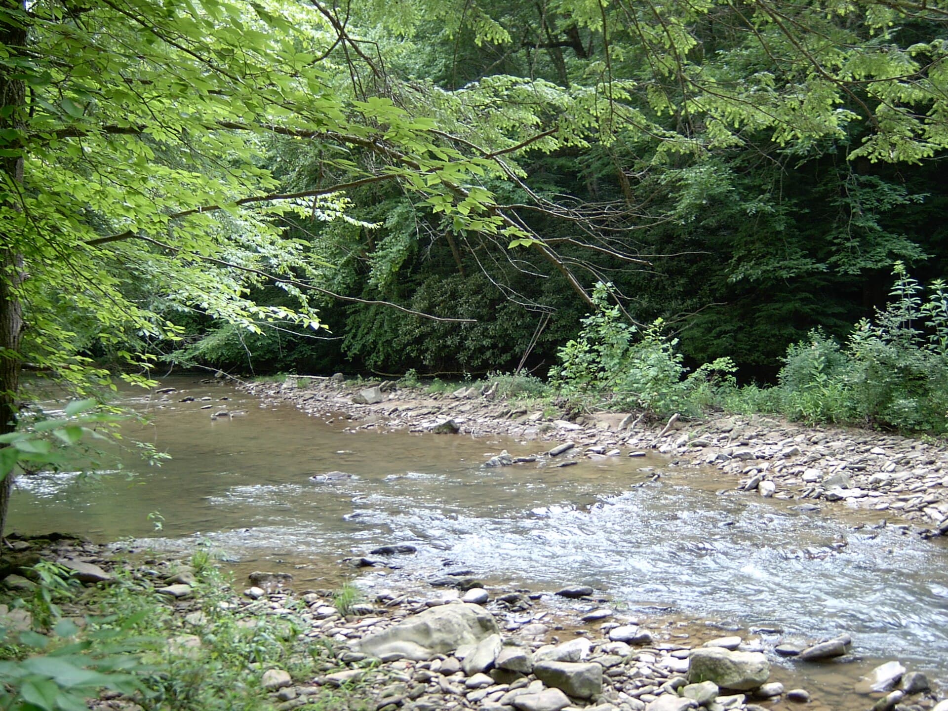
The map’s ridge-and-branch structure is more than cartography. It helps explain how Panther functions as a hunting, fishing, and recreation corridor in McDowell County. Drainages such as Panther Creek, Horse Creek, Trace Fork, and Tug Fork create natural travel lines, while ridges such as State Line Ridge, Sourwood Ridge, Bee Ridge, Baker Ridge, and Estep Ridge define the higher ground.
That kind of terrain rewards planning. A visitor who starts with the map can better judge where to park, how far a trail or ridge walk may stretch, and where the group camp and residences sit relative to the rest of the WMA. For local users, that means less guesswork and a safer trip into country that is beautiful but demanding.
A public asset in coalfield country
McDowell County tourism material describes the county as part of the southern West Virginia coalfields, where coal long shaped the economy and identity. Panther Wildlife Management Area stands out in that setting as a public land base that serves a different kind of county need: outdoor access, habitat, and shared space.
That role is part of why Panther matters locally. In a county where much land has historically been tied to extraction, a clearly marked public tract with hunting, trout fishing, camping, and hiking gives residents a place to go that is open, recognizable, and protected for ongoing use. The WMA’s place along Panther Creek also ties it to the county’s outdoor geography in a way that feels rooted rather than imported.
How Panther fits the region
West Virginia tourism materials link Panther Wildlife Management Area with Panther State Forest and identify it as part of the southernmost part of the state. That broader placement helps explain why it is a familiar reference point for people who live in McDowell County and for visitors trying to find a public-lands destination near the state’s edge.
The result is a place that works on several levels at once. It is habitat, recreation land, a managed campground, a hunting area, and a mapped part of McDowell’s southern backcountry. The official DNR map and the access details from the brochure make Panther easier to use, and the acreage figure shows why it deserves that attention: this is one of the county’s major outdoor tracts, with enough room and enough terrain to matter in every season.
This article was produced by Prism’s automated news system from verified source data, official records, and press releases, then run through automated quality and moderation checks before publishing. The system is built and supervised by the people who set the standards it runs under. Read our full AI policy.
Did this article answer your question?