Menominee County plan guides growth, housing and conservation through 2030
Menominee County’s 2030 plan shapes where homes can grow, which roads deserve attention and how forest land stays protected as the county updates its next master plan.
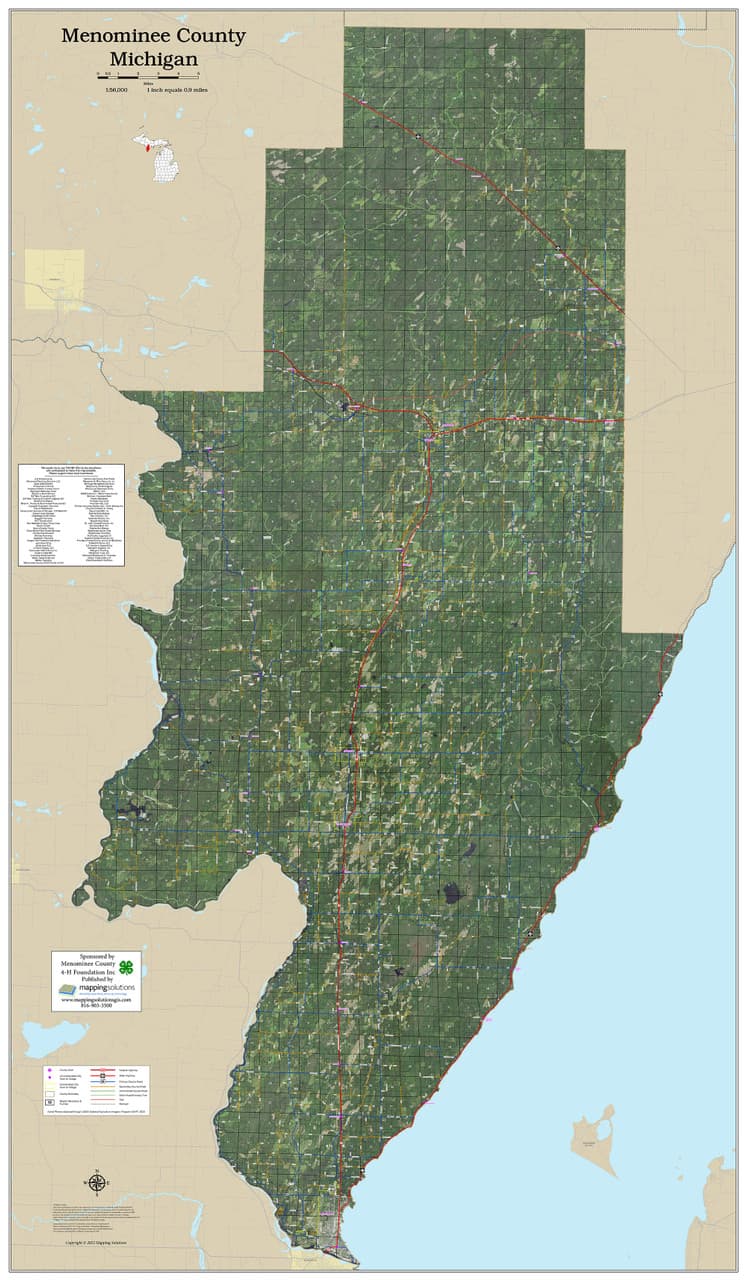
In Menominee County, a county of 4,255 people spread across towns, unincorporated communities and Menominee tribal lands, Comprehensive Plan 2030 decides where growth fits, where it does not, and what has to come first when roads, housing and conservation compete for the same ground. Those choices show up in everyday life: where a family can build, how a commuter gets to work and how much forest stays intact.
Why the plan matters on the ground
Menominee County keeps land-use planning inside its Conservation/Forestry/Zoning department, and the county also maintains separate functions for Land and Water Conservation, Forestry and Building & Zoning. Zoning, conservation and development are handled as linked decisions, not separate conversations.
The practical result is that the plan reaches into the questions people actually ask at kitchen tables and township meetings. Can a house go on a certain parcel? Will a new road opening invite more building, or protect the character of a settlement? Which areas should remain in forest or other conservation use? In Menominee County, those questions shape housing patterns, road priorities and public service costs.
A county-and-town plan with a long paper trail
The document itself is titled County/Town of Menominee Comprehensive Plan 2030. It reflects a planning process shaped by both county and town government, with the cover naming Elizabeth Moses as county chair and Patricia Roberts as town chair. Menominee County was established on April 30, 1961, making it Wisconsin’s 72nd and youngest county, so this planning framework sits in a county still defining how its communities fit together.
The plan was originally adopted on December 17, 2009 and revised on March 19, 2015. A separate county file records formal adoption of that revision on June 18, 2015. That 2015 work was prepared by the Administrative Coordinator’s Office, the Land Information Office, the U.W. Extension Office and the East Central Wisconsin Regional Planning Commission, then reviewed by the Menominee Town/County Planning Commission and the Menominee County Board of Supervisors.
The plan remains the county’s guide for where growth should go, how infrastructure should be timed and how land-use decisions should match the realities of a small county with a big landscape.
What it means for housing, roads and daily travel
For property owners, the plan is the first stop before a land-use question becomes a zoning question. A parcel that looks suitable on a map may still need access, utilities or zoning support before it can hold a new home or subdivision. For families deciding where to live, that means the county’s planning choices can shape whether growth happens close to existing communities or farther out along roads that need more investment.
Commuters feel the plan in a different way. Road improvements, capital projects and service expansions are all part of the long-term picture, and the county uses the plan to decide what should come first. In a county this small, a single road decision can determine whether a home site stays practical, whether a business can expand, or whether a stretch of land remains best suited to forest and open space.
When residents hear about a zoning request, a subdivision idea or a master-plan update, this is the document that shows the county’s long-range thinking. A simple way to read it is to look for three things:
- where the county wants growth to fit
- where conservation and forest protection remain the priority
- how roads, zoning and public services are expected to support that pattern
Conservation is part of the housing story
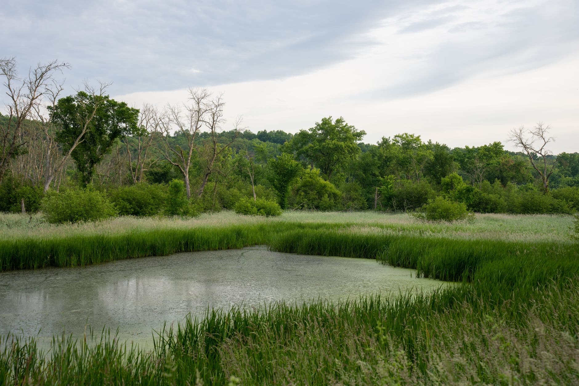
Menominee County’s planning map is shaped by land that is both culturally significant and ecologically important. The Menominee Nation lists its reservation land base at 235,523 acres, and Wisconsin Land and Water puts the Menominee Forest at 230,000 acres. Growth here is never just about adding houses. Every new development choice has to be weighed against timber, water, habitat and the broader landscape that residents know well.
Menominee County has a 2010-2014 Land & Water Resource Management Plan dated August 2009, prepared by the county Land Conservation Department, the Land Conservation Committee and the Menominee Nation Environmental Services Department. The county has long treated land stewardship and local planning as connected responsibilities.
County and tribal governance overlap in daily life. The Wisconsin Legislature set out in 2003 to create a strategic plan for the tribe, with help from the College of the Menominee Nation. Land-use decisions in Menominee County sit at the intersection of county authority, tribal sovereignty, conservation and community development.
Why this still points to the future
Menominee County’s own website now points residents to a Community Survey tied to a Menominee County Master Plan. The 2030 framework remains the baseline, but the county is also asking people to weigh in on what comes next.
That next phase sits inside Wisconsin’s larger tradition of periodic comprehensive-plan updates, including regional planning work that was adopted in 2004 and last updated in 2015.
This article was produced by Prism’s automated news system from verified source data, official records, and press releases, then run through automated quality and moderation checks before publishing. The system is built and supervised by the people who set the standards it runs under. Read our full AI policy.
Did this article answer your question?