NWS Issues Winter Storm Warning for Menominee County Mid-March
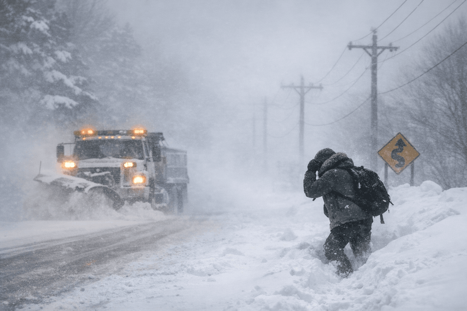
NWS Green Bay warned of 18 to 24 inches of snow and near-blizzard conditions for Menominee County, Wisconsin, with the warning running through 4 p.m. Monday.

A Winter Storm Warning covering Menominee County, Wisconsin remained in effect Saturday through Monday as the National Weather Service office in Green Bay forecast between 18 and 24 inches of snow, with locally higher amounts possible, and wind gusts reaching 45 mph.
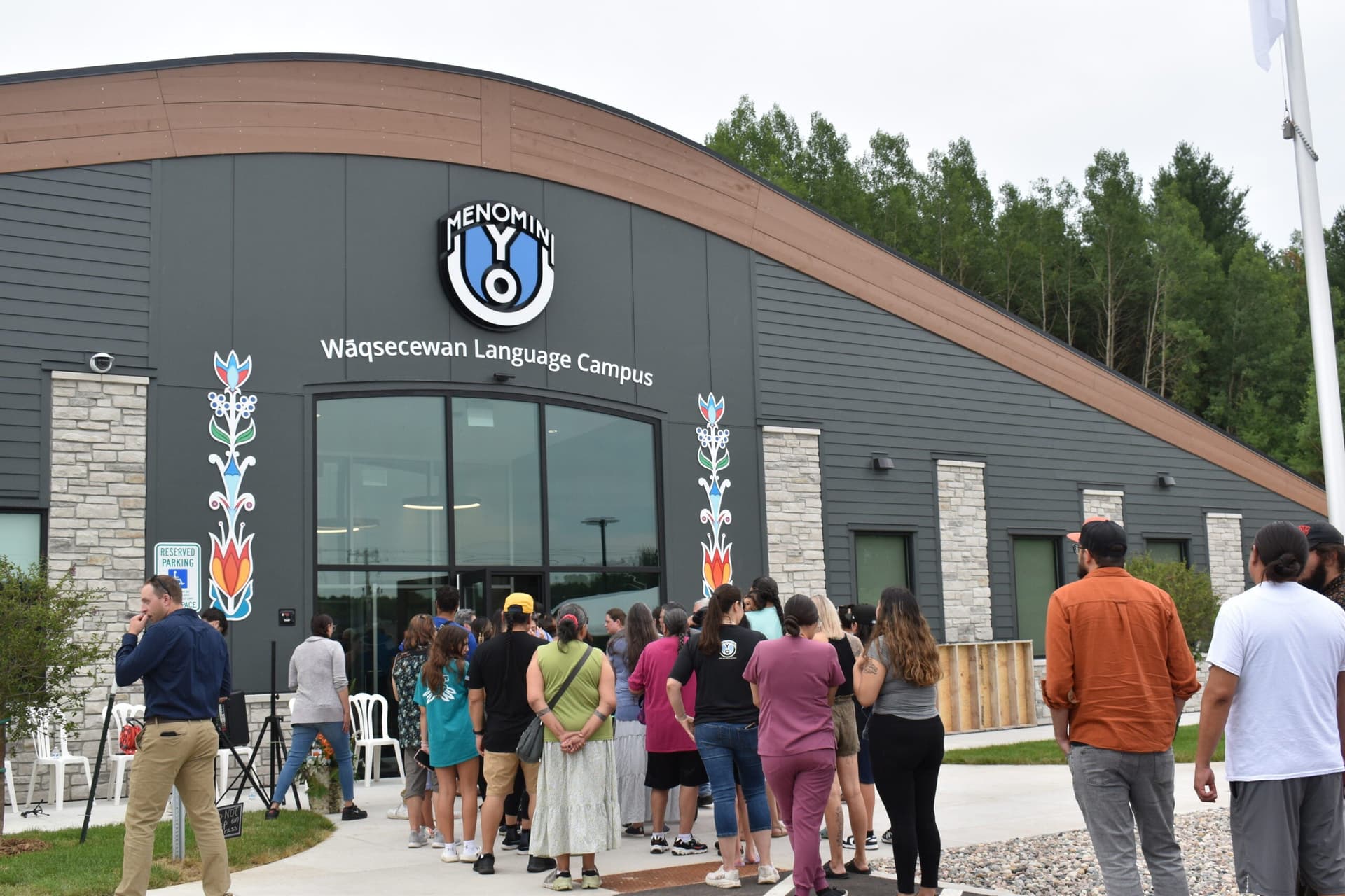
The NWS Green Bay issued an urgent winter weather message at 2:06 a.m. CDT Saturday, March 14, placing Menominee County alongside Lincoln, Langlade, Door, Marathon, Shawano, and Southern Oconto counties under the warning. The product extended the warning from 7 p.m. Saturday through 4 p.m. Monday. Cities within the warning zone included Keshena and Neopit in Menominee County, along with Wausau, Shawano, Tomahawk, Antigo, Merrill, Sturgeon Bay, and Sister Bay, among others.
Heavy snow was expected to briefly mix with sleet late Saturday night into early Sunday. A companion hazardous weather outlook issued at 2:20 a.m. Saturday warned that snowfall rates could reach 1 to 2 inches per hour, and that "blizzard or near-blizzard conditions will make travel extremely difficult, especially Sunday afternoon through Monday." The NWS advised anyone with travel plans, including air travel, to monitor conditions closely and consider making alternative arrangements.
Forecasts had shifted considerably since the storm first appeared on NWS radar earlier in the week. Reporting from the Iron Mountain Daily News on March 12 indicated the system was expected to bring 5 to 8 inches to Menominee and Dickinson counties, with the heaviest accumulations along and north of U.S. 2, and wind gusts of 35 to 40 mph. By the early hours of March 14, the Green Bay office had revised totals dramatically upward to the 18-to-24-inch range for the same county as the storm's track and intensity came into sharper focus.
The earlier warnings issued from 7 p.m. March 12 through 1 p.m. March 13 for Menominee and neighboring Wisconsin counties had already warned of 2 to 7 inches of snow and gusts up to 45 mph, with blowing and drifting snow posing particular hazards for the Friday morning commute.
County roads and state highways in Menominee County faced elevated risk of snow-covered and slick surfaces, with blowing snow capable of sharply reducing visibility. Strong wind gusts carried the additional risk of downed limbs and trees onto power lines, raising the prospect of outages whose duration would depend on access and the extent of damage. The NWS advised residents to secure loose outdoor objects and follow local emergency instructions.
The NWS Green Bay hazardous weather outlook also called on trained spotters to forward snowfall measurements directly to the Green Bay office as the storm progressed through the weekend and into early next week.
This article was produced by Prism’s automated news system from verified source data, official records, and press releases, then run through automated quality and moderation checks before publishing. The system is built and supervised by the people who set the standards it runs under. Read our full AI policy.
Did this article answer your question?