Illinois River Flood Watch Prompts Monitoring of Meredosia, Morgan County Communities
Illinois River at Beardstown hit 14.1 feet April 6, with a forecast rise to 18 feet by April 11, putting Meredosia and Morgan County river towns on alert for minor flooding.

With the Illinois River gauge at Beardstown registering 14.1 feet on April 6 and forecasters projecting a rise to 18 feet by April 11, Morgan County emergency managers tracked a slow-moving spring flood pulse poised to reach Meredosia and the region's lower-elevation river communities.
The 18-foot mark at Beardstown carries a recognized consequence: it is the point at which seepage begins in the Lost Creek Drainage and Levee District, an early signal that local response teams monitor through the National Weather Service's Advanced Hydrologic Prediction Service. Upstream, Peoria and Henry were already under active flood warnings as the water pulse moved southward through the Illinois River corridor.
Downstream, Meredosia, Valley City, LaGrange, and Hardin were forecast for mostly minor flooding, with crests expected to arrive later in the week and into Saturday. In Morgan County, Meredosia stood as the focal point. Its low-elevation neighborhoods along the riverbank are among the first to register rising water, and even a minor flood stage can mean basement seepage, pressure on septic systems, and closures along river-adjacent county routes, with cleanup costs and insurance complications that linger long after the water pulls back.
Heavy spring rainfall and saturated soils across central Illinois fueled the forecast. With the ground already unable to absorb additional moisture after recent storms, runoff channeled directly into tributaries feeding the Illinois River, accelerating the rise at multiple gauges tracked by the USGS sensor network.
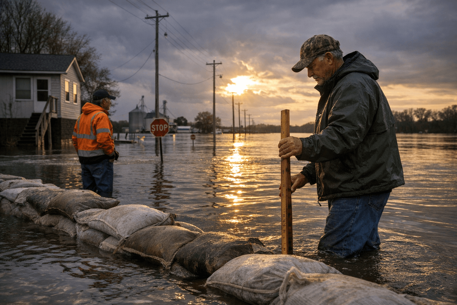
Local farm operators and riparian homeowners used the early-week forecast window to stage sandbags and inspect drainage before conditions peaked. WLDS radio in Jacksonville provided gauge-by-gauge updates and directed residents to the NWS hydrograph for the Meredosia gauge before making any decisions about low-lying routes or riverside properties.
Phil McCarty, coordinator of Morgan County's Emergency Services and Disaster Agency at 200 West Douglas in Jacksonville, serves as the county's central contact for road closure advisories and sandbag staging during flood events. Driving through standing water, authorities reiterated throughout the watch period, remains the most preventable cause of flood-related harm regardless of whether conditions carry a minor or moderate classification.
This article was produced by Prism’s automated news system from verified source data, official records, and press releases, then run through automated quality and moderation checks before publishing. The system is built and supervised by the people who set the standards it runs under. Read our full AI policy.
Did this article answer your question?