NWS Revises Forecast for Illinois River at Meredosia; Stage 3.1 Feet
NWS updates the Illinois River forecast at Meredosia; stages are holding near 3.8-3.9 feet with no flooding expected, keeping river users and riverfront residents safe for now.
The National Weather Service’s North Central River Forecast Center updated river guidance for the Illinois River at Meredosia, showing the stage holding well below flood thresholds and little to no precipitation expected through the short term. Local gauges on Jan. 29 recorded afternoon stages near 3.8 to 3.9 feet and flows around 13.6-13.7 kcfs, far below action and flood levels for Morgan County.
| Monitoring services reported closely aligned observations. Riverweather listed a current reading as “Currently | 3.9 ft | 13.6 kcfs” with an observation at “Thursday 01/29/2026 03:00 PM | 3.90 | 13.60.” WeatherForYou’s Meredosia page showed “Updated: 4:00 PM CST 1/29/26” with “Stage: 3.94 ft” and “Flow: 13.7 kcfs.” The RFC product notes that “THE RIVER STAGE WAS 3.8 FT AT 1500 Z ON JAN 29.” These afternoon values follow an earlier reading in the reporting set of “around 3.09 ft (observed 12:30 AM CST Jan. 27,” indicating the stage rose modestly over two days but remained low compared with flood criteria. | |||
|---|---|---|---|---|---|---|---|
| Forecasts from NWS, Riverweather, WeatherForYou and the U.S. Army Corps of Engineers’ MVS operational table are consistent in projecting stability and a slow fall through the week. The RFC and other tables show forecasts clustered at about 3.8 feet through Jan. 30–31, easing into the mid 3.0s by early February. The USACE operational table lists Meredosia as “Meredosia | 3.75 | 3.8 | 3.8 | 3.8 | 3.5 | 3.5 | 3.5.” Forecasters also report virtually no short-term runoff: “48-hr QPF Total Ending on Jan 31 is 0.00 inches.” |
| Those values sit well below Meredosia’s published thresholds. The RFC station block for the Meredosia power plant lists: “ACTION STAGE 14.0 FTMINOR STAGE 17.0 FT :MODERATE STAGE 22.0 FTMAJOR STAGE 24.0 FT.” Riverweather’s color key matches that scale: “14 ft - Near Flood | 17 ft - Minor Flood | 22 ft - Moderate Flood | 24 ft - Major Flood.” For perspective, Riverweather records the historical peak as “Record | 28.86 ft | 112000 cfs.” |
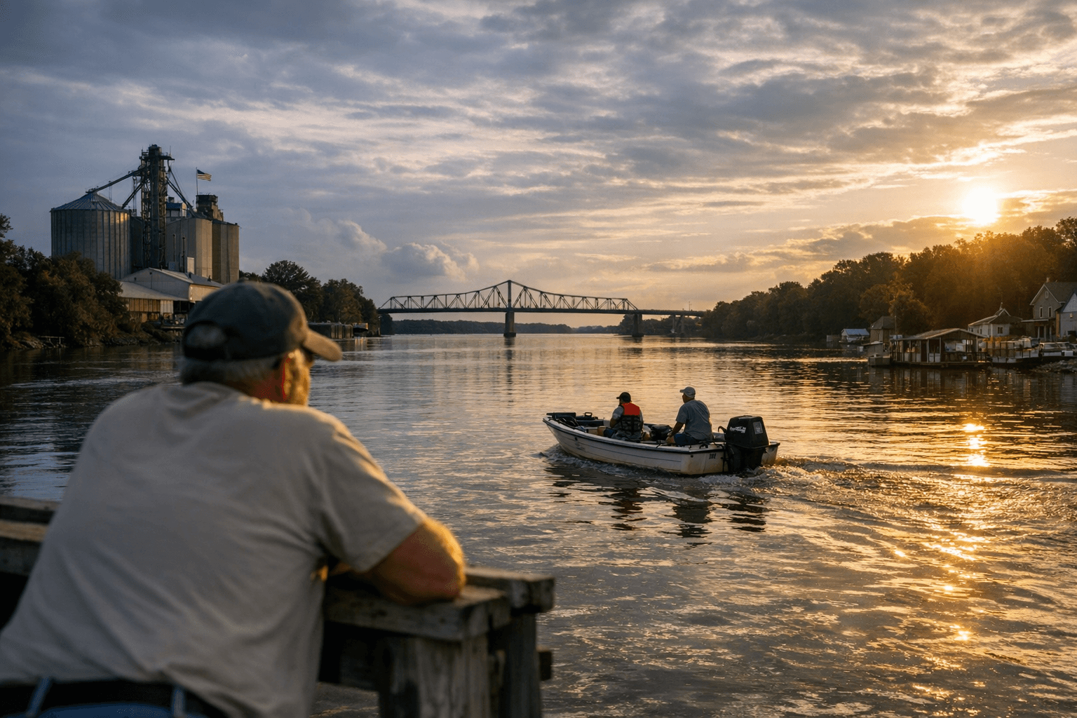
For Morgan County residents and river-dependent workers, the current forecast means little immediate flood danger. Low river stages reduce near-term threats to homes, road approaches and small businesses on the riverfront, but community health and equity concerns remain relevant year-round: lower-income households and renters living closest to the levees or low-lying boat ramps should continue to monitor official updates, and municipal services should maintain routine checks on sewer and drainage infrastructure where capacity can be constrained by ice or debris later in the season.
The NWS RFC product carries the following identification and time stamp: “742 FGUS53 KMSR 291632 RVFILO RIVER FORECAST NATIONAL WEATHER SERVICE NWS NORTH CENTRAL RIVER FORECAST CENTER; CHANHASSEN MN 1031 AM CST THU JAN 29 2026 : THIS IS A NWS GUIDANCE PRODUCT FROM THE NORTH CENTRAL RIVER : FORECAST CENTER.” The USACE operational table includes a governance note: “Note - This operational forecast is intended for internal use. The official river forecasting agency of the Federal Government is the NWS. The NWS forecast for these locations can be found by clicking the blue hyperlink associated with each gage location. If there are any questions, please call the water control office at 1-(800)432-1208 or (314)331-8342.”
What this means for readers: the river is low and forecasts point to steady, slightly falling stages through early February, so no flood preparations are required at present. Still, local officials, boaters, farmers and residents who live along the river should keep checking NWS updates and agency contacts cited above in case conditions change.
This article was produced by Prism’s automated news system from verified source data, official records, and press releases, then run through automated quality and moderation checks before publishing. The system is built and supervised by the people who set the standards it runs under. Read our full AI policy.
Did this article answer your question?