Alaska planners study all-season road linking three Arctic communities
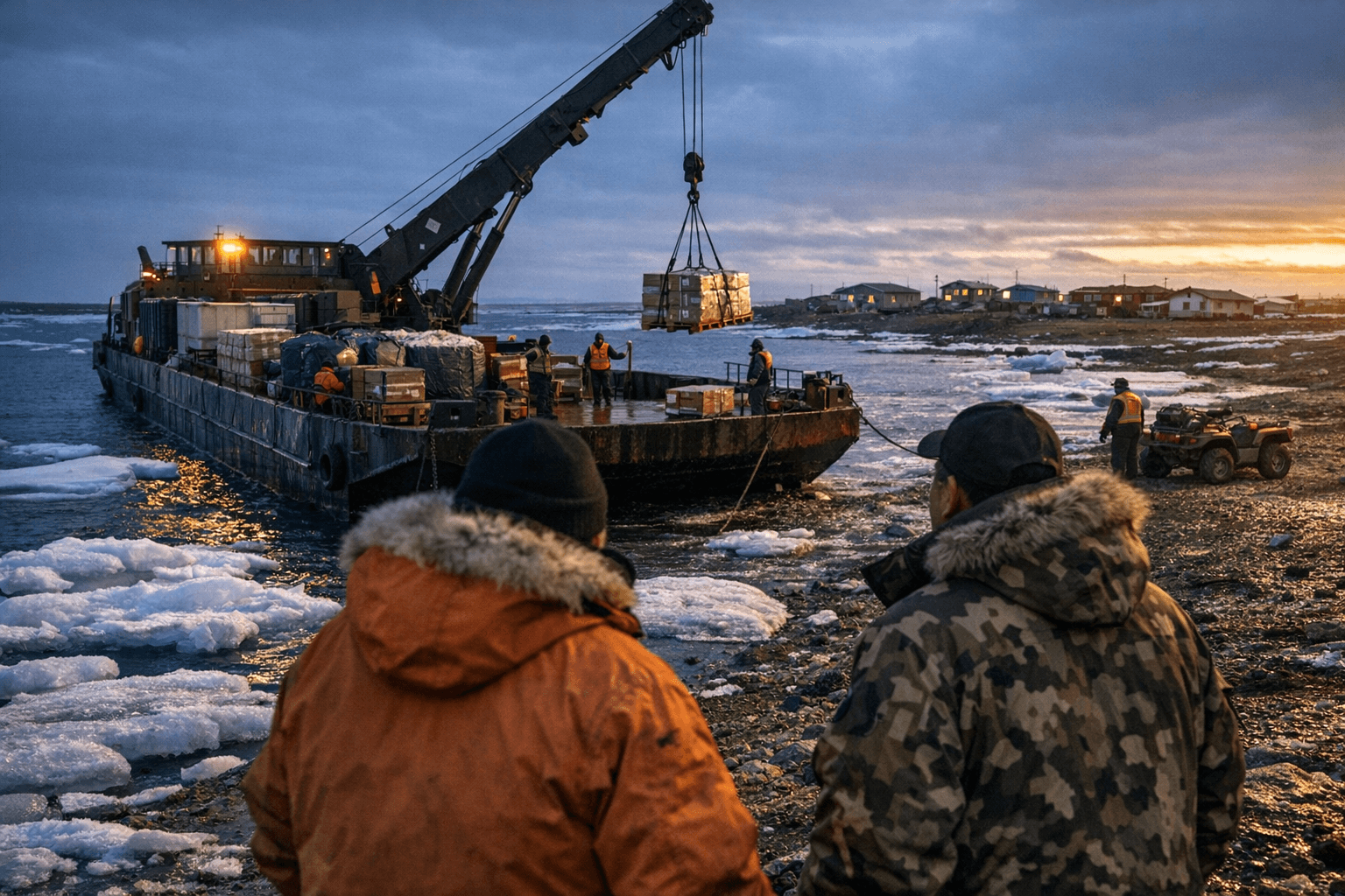
State planners are studying an all-season gravel road to connect Utqiagvik, Atqasuk and Wainwright in a project that could cut freight costs across the North Slope.
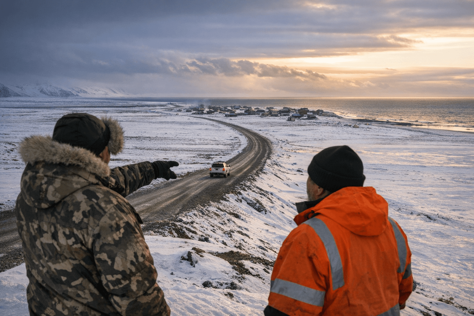
The Triangle Community Road project is evaluating whether an all-season gravel road and utility corridor can viably link Utqiagvik, Atqasuk, and Wainwright across one of the most technically demanding stretches of terrain in North America, a question that has driven a formal, funded planning study active since at least 2023.
The effort runs through the Arctic Strategic Transportation and Resources partnership, known as ASTAR, a coordinated initiative led by the Alaska Department of Natural Resources and the Alaska Department of Transportation and Public Facilities in collaboration with the North Slope Borough and regional stakeholders. The planning mechanism is a Planning and Environmental Linkage study, which compiles technical analyses, environmental mapping, socioeconomic evaluations, and tribal and community engagement documentation. The PEL does not commit to construction; it defines corridor alternatives and tradeoffs that would inform future permitting decisions, federal funding applications, and entries into the statewide long-range transportation program.
At stake is what would rank among the most significant regional connectivity investments in modern North Slope history. All three communities currently depend on costly air freight and seasonal barge service for supplies, heavy equipment, and emergency response. A viable all-season surface connection would reduce those freight constraints year-round and shorten emergency response times across the borough's western communities.
The proposed corridor crosses mixed land ownership, including federal, state, and Native lands, requiring coordination across the Bureau of Land Management, ADNR, DOT&PF, the North Slope Borough, and village governments for rights-of-way, environmental compliance, and permitting. The Alaska Division of Geological and Geophysical Surveys has been conducting sand and gravel resource surveys along candidate routes; aggregate availability is one of the primary feasibility factors, since building stable roadbeds across permafrost and wetlands demands substantial local material at accessible distances.
Arctic engineering constraints add further complexity. Freeze-thaw cycles and permafrost dynamics require specialized design and maintenance regimes with significant lifecycle costs, and multiple river crossings along any viable corridor demand geotechnical and hydrological study before alignment decisions can be made.
Tribal consultation is central to the process. Candidate corridors pass through areas used seasonally for subsistence hunting and travel, and portions of the route may intersect sensitive wetland and wildlife habitat. The PEL is explicitly structured to surface those concerns through stakeholder and tribal engagement before any construction path is chosen.
ASTAR issued requests for proposals and selected technical consultants beginning in 2023. The multi-year planning process remains active and funded through the mid-2020s, with deliverables intended to support a potential transition to design, permitting, and capital investment should communities, the borough, and state and federal agencies agree to proceed.
Sources:
Know something we missed? Have a correction or additional information?
Submit a Tip