Alyeska asks for more North Slope land to shield pipeline from floods
Alyeska wants more North Slope land at two Sagavanirktok River crossings as high water and erosion threaten pipeline defenses near Prudhoe Bay.
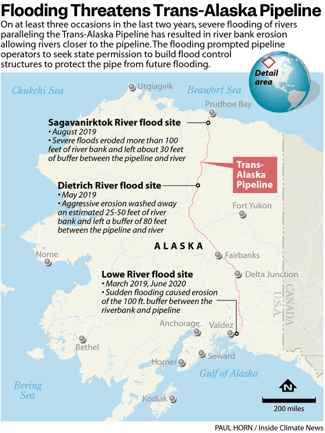
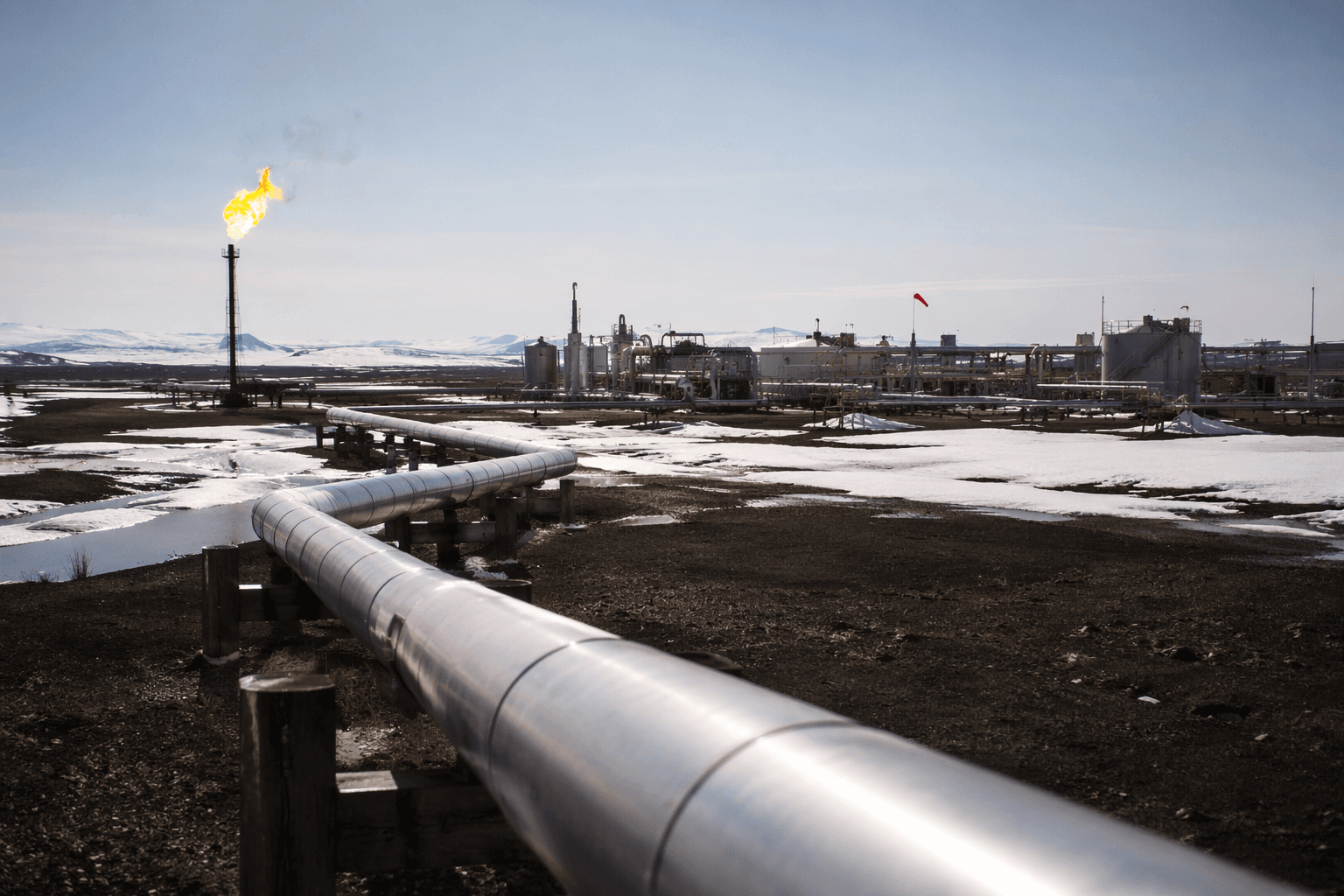
High water on the Sagavanirktok River is again pressing against the Trans-Alaska Pipeline System, and Alyeska Pipeline Service Company is asking the state for more North Slope land so it can extend flood defenses where erosion has already threatened the corridor. The work centers on river crossings near Pipeline Milepost 21.5 and Pipeline Milepost 37.3, two spots where runoff and bank failure can quickly become an energy-infrastructure problem for the pipeline that carries North Slope crude to market.
The stakes reach far beyond a permit filing. TAPS is 800 miles long, 48 inches in diameter, and the state right-of-way lease covers about 344 miles of state-owned land. Built after construction was completed in 1977, the system remains the backbone of Alaska oil transport, and any delay in shielding it from flood damage can ripple through oil flow, state revenue, contractor work, and the reliability of the industrial corridor around Prudhoe Bay and Deadhorse.

State records show Alyeska has been working this problem for years. A December 28, 2023 notice sought about 2.2 acres for a revetment extension at the Sagavanirktok River near Pipeline Milepost 21.5, intended to reduce the risk of severe damage during a flood event. Another notice on April 11, 2024 said record high river flows in 2023 had eroded the western bank near Pipeline Milepost 37.3, and that Alyeska wanted about 1.7 acres for an armored revetment to prevent further erosion and protect TAPS integrity.
The state’s pipeline coordinator says TAPS is regulated under Alaska Statute 38.35, with oversight coordinated through the Joint Pipeline Office, which was established in 1990. A Division of Oil and Gas proposed decision posted June 10, 2026, for a buried sill and storage and staging area at Pipeline Mileposts 28.3 and 39.7 shows the flood-mitigation work has continued into this year, not as a one-off response but as part of a longer campaign to harden the route.

That campaign reflects the reality of the North Slope corridor. After the major flooding in 2015, Alyeska began a long-term monitoring program in the Sagavanirktok River basin with the University of Alaska Fairbanks Water and Environmental Research Center. The river has also washed out stretches of the Dalton Highway during high-water events, underscoring how closely road access, river behavior, and pipeline protection are tied together. With the pipeline’s current federal right-of-way authorization set to expire in 2034, Alyeska’s request signals that flood defense has become a recurring operational need, not just a seasonal concern.
This article was produced by Prism’s automated news system from verified source data, official records, and press releases, then run through automated quality and moderation checks before publishing. The system is built and supervised by the people who set the standards it runs under. Read our full AI policy.
Did this article answer your question?