Pahrump Valley trails offer year-round desert access in Nye County
Pahrump Valley trails give Nye County a year-round route to visitors who also need gas, meals, maps and trailheads before they head back out.
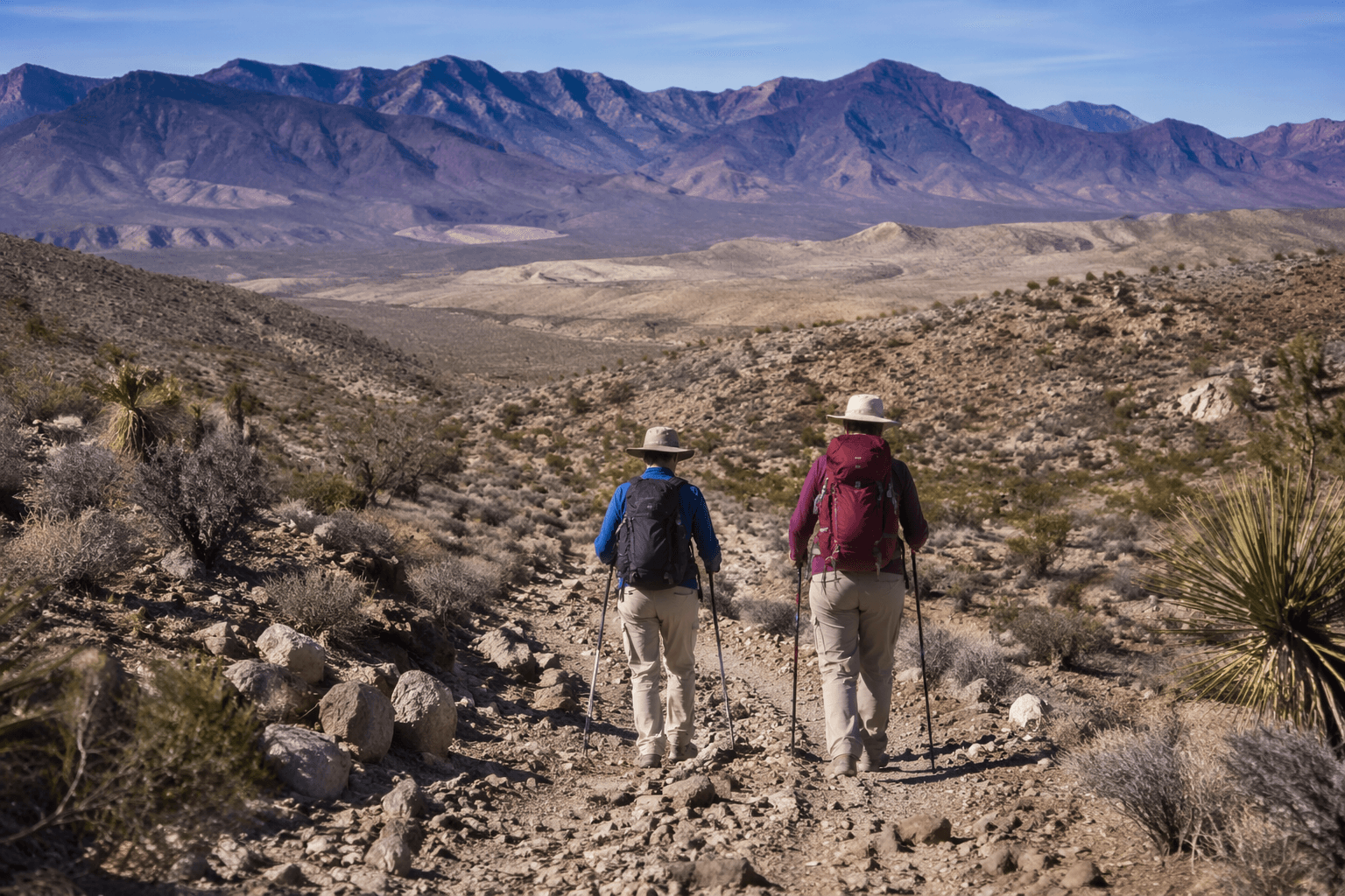
Pahrump Valley Trails stretches across public BLM and USFS land in the foothills above Pahrump near Mount Charleston, with routes for hikers, mountain bikers, equestrians, Jeeps, ATVs and other off-road vehicles. The network gives Nye County a year-round route to visitors who also need gas, meals, maps and trailheads before they head back out. Nye County sits about 60 miles west of Las Vegas and minutes from Death Valley National Park.
A public-land corridor with real reach
Congress established the Spring Mountains National Recreation Area in 1993, and the area now covers about 317,000 acres across Clark and Nye counties. More than a million people visit each year to escape desert heat in summer and ski in winter, according to the U.S. Forest Service, which gives the Pahrump side of the range a steady stream of potential day users.
Pahrump Valley Trails includes dozens of miles of multi-use routes open year-round for day use. Hot months, mild winter weekends and shoulder-season drives create different kinds of traffic, all likely to pass through town if the trail system is easy to find and easy to read.
Which routes fit which kind of outing
The system is not one ride but several distinct choices.
- Carpenter Canyon Road sits on the west side of the Spring Mountains near Pahrump. The route can move from high desert into a coniferous forest climate zone, and trail users can see wild horses, burros and deer along the way.
- Wallace Canyon Road is the easier foot-path option in the mix, with parking that makes it useful for short hikes and lower-intensity outings.
- Wheeler Wash gives access to a rougher backcountry feel, while Wheeler Wells and the historic charcoal kilns are accessible by most 2WD vehicles, even while pulling small travel trailers. Hiking trailheads sit at both sites, which makes them useful for mixed groups that do not all drive the same kind of rig.
- Wheeler Pass is the most demanding name in the group. The roughly 26-mile route reaches an eastern summit around 8,205 feet, and it is a favorite of experienced four-wheel-drive drivers coming in from the U.S. 95 and Indian Springs side.
A family can stay close to pavement at Wheeler Wells, while a more advanced group can spend the day on Wheeler Pass or a Carpenter Canyon backcountry run.
Why the setting matters to visitors
The nearby Pahrump Valley Wilderness runs from about 2,720 feet on the valley floor to 4,569 feet in the Kingston Range, according to the Bureau of Land Management. That elevation swing helps explain how quickly the terrain changes as you leave town. It is part of the appeal for anyone looking for desert views without committing to a full backcountry expedition.
Pahrump Valley Trails sits minutes from Death Valley National Park and works as a close-in outdoor escape for visitors from Southern Nevada, giving Nye County a way to hold travelers long enough for an extra meal, a fuel stop or a supply run before they move on.
What locals and visitors need on the ground
Clearly marked routes make people more likely to use the system with confidence and spend money in town before and after the ride. The visitor center on Highway 160 can provide transportation information, local business maps and trail maps, making it a natural first stop for anyone arriving without a full plan.
Off-Road Nevada and the NV Trail Finder offer maps, KML and KMZ files, plus rules and regulations. Riders should yield to equestrians, slow down around blind corners and keep pets under control when the same corridor is shared by hikers, bikes, horses and motor vehicles.
Where the commercial payoff is hiding
The biggest economic opportunity is not a single marquee attraction. It is a tighter connection between trail access and everyday commerce in Pahrump. Clearer wayfinding from Highway 160, more obvious trailhead signs at Carpenter Canyon Road, Wallace Canyon Road, Wheeler Wash, Wheeler Wells and Wheeler Pass, and better maintenance of dirt-road approaches would make the system easier to use for first-timers and repeat visitors alike.
The trail network already has what many rural recreation areas lack: variety, year-round access and a location between Las Vegas and Death Valley. When visitors can quickly find the right trail, understand whether their vehicle fits the route and return to town without confusion, local gas stations, restaurants and outdoor-service businesses are more likely to see the benefit before the day is over.
Wheeler Pass Road was once the road from Bennett's Ranch to Indian Creek, with Bennett's Ranch settled in 1875 and the corridor now part of Creech Air Force Base.
This article was produced by Prism’s automated news system from verified source data, official records, and press releases, then run through automated quality and moderation checks before publishing. The system is built and supervised by the people who set the standards it runs under. Read our full AI policy.
Did this article answer your question?