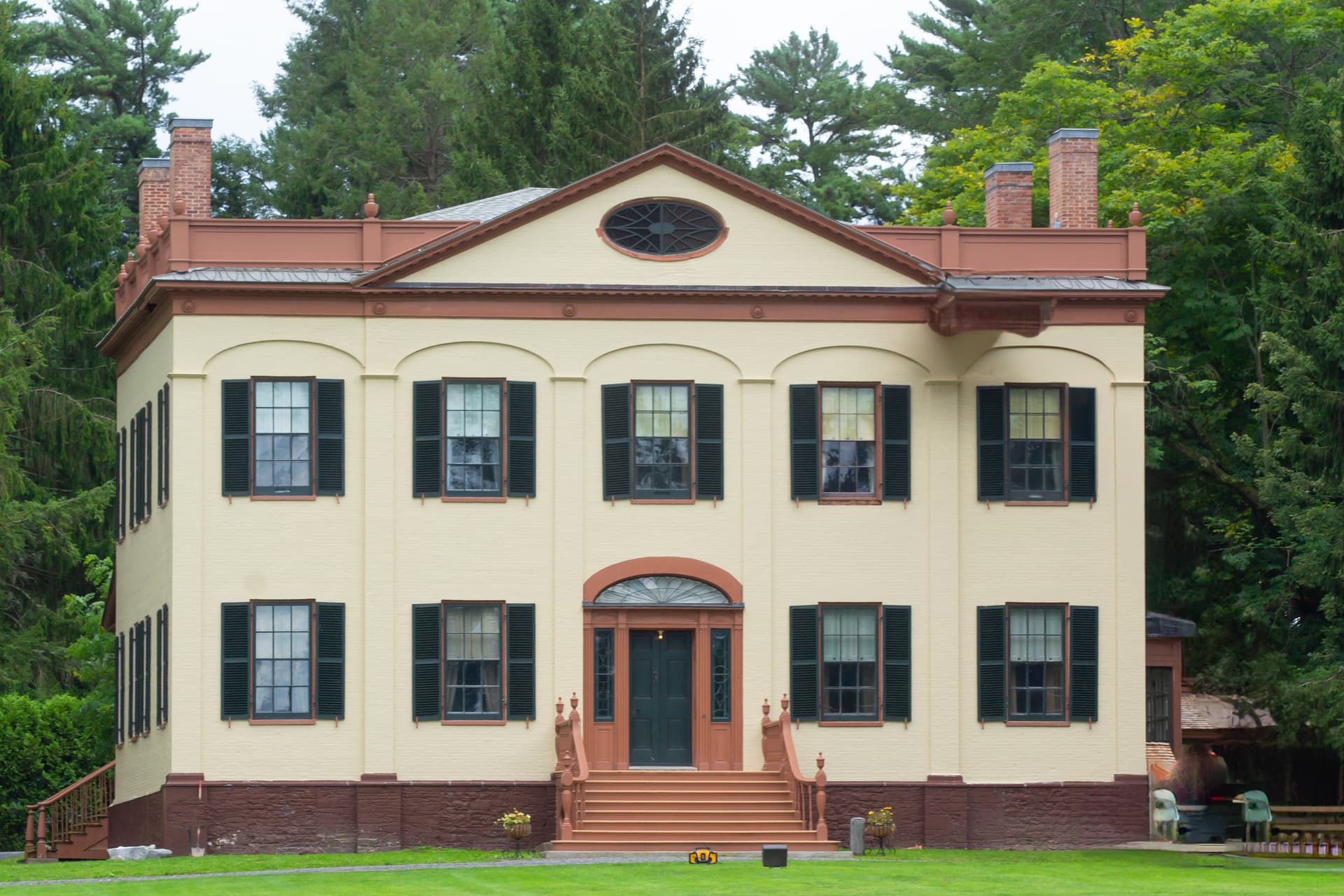
Onondaga Lake cleanup spans countywide watershed and sacred history
Cleaner water has brought more recreation to Onondaga Lake, but mercury advisories and shoreline pressure keep the cleanup unfinished.
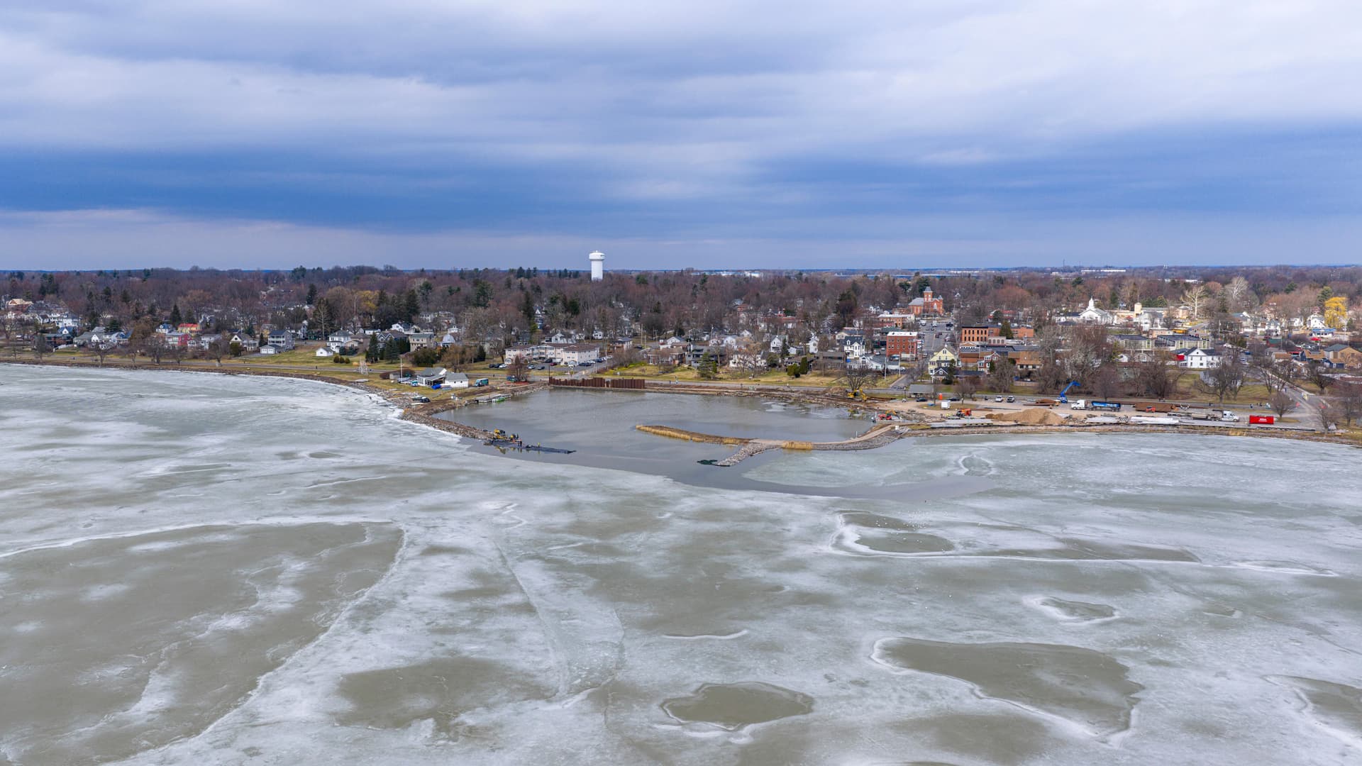
Onondaga Lake now draws more than one million visitors a year and supports a wide range of recreation, but mercury advisories in fish show why the cleanup still matters to people around the shoreline. The lake sits on Syracuse’s northern edge and touches Geddes, Salina, Solvay and Liverpool, so every gain in water quality, access or redevelopment has countywide consequences.
Why the lake still matters to shoreline communities
The lake is not a small pocket of water that can be managed in isolation. The U.S. Environmental Protection Agency says it covers 4.6 square miles, averages 35 feet deep and reaches a maximum depth of 63 feet, which makes it large enough to shape how nearby neighborhoods use the waterfront and how stormwater moves through the system. EPA site materials also make clear that the Superfund site includes not just the open water but seven major and other minor waterways, along with several land-based sources.
That broader footprint is the reason the story reaches beyond Syracuse city limits. The shoreline geography links the lake to the county’s largest population center and to multiple municipalities, while the watershed carries runoff, wastewater inputs and legacy pollution from places far from the water’s edge. In practical terms, that means the cleanup is about more than the lake itself: it is about what the tributaries carry into it and what local governments allow near it.
Sacred history and a long pollution arc
Onondaga Nation treats the lake as sacred, and Onondaga tradition ties the birth of the Haudenosaunee Confederacy to its shores. The same history that gives the lake spiritual weight also shows how dramatically its condition changed over time. It was once a renowned fishery and tourist destination before industrialization, settlement and waste disposal turned it into one of the region’s most visible environmental losses.
That long decline matters because it explains why the lake’s recovery has been so slow and why the debate around it is never just technical. A cleanup that involves sediment, wastewater, tributaries and shoreline development has to answer to environmental science, public access, local economics and a living Indigenous history all at once. That combination is what makes Onondaga Lake one of the clearest examples in Central New York of how geography and power shape public space.
How the cleanup is organized
The federal cleanup began in earnest when Onondaga Lake was added to the Superfund National Priorities List in 1994. The U.S. Environmental Protection Agency and the New York State Department of Environmental Conservation issued a Record of Decision for the Onondaga Lake Bottom Subsite in July 2005, and EPA says Superfund cleanups are governed through those Records of Decision and amendments when needed. The bottom-subsite criteria were designed to address acute toxicity to the sediment-dwelling community, which shows how much of the lake’s recovery depended on fixing the sediment itself, not just the water above it.
A project profile describes the cleanup as a $451 million effort under the state Department of Environmental Conservation Record of Decision. That figure is a reminder that this was never a small remediation job or a short-term dredging project. It has been a long capital-intensive rebuild of an entire lake system that had been stressed for generations.
What measurable recovery looks like
The most concrete signs of recovery are in the water-quality numbers. A 2010 State of Onondaga Lake report prepared by Save The Rain said phosphorus discharges to the lake from the sewage treatment plant had been reduced by about 86 percent between 1993 and 2009. The same report said phosphorus levels in the upper waters were in the best condition in more than 100 years, and chloride concentrations fell from 1,800 milligrams per liter in 1985 to 450 milligrams per liter.
By 2017, state cleanup materials said native plants, fish and wildlife were returning and that the lake was supporting a range of recreational uses. That shift matters to shoreline communities because it changes how the lake is experienced day to day. People who once saw a contaminated liability now see a place for boating, fishing, walking and waterfront planning, even if the restoration is still incomplete.
What remains unfinished
The lake’s visible improvement has not erased public health concerns. EPA says Superfund sites are inspected every five years to make sure remedies remain protective, and Onondaga County’s Office of the Environment describes the restoration effort as multifaceted, involving municipal wastewater inputs, industrial contaminants in the lake bottom and adjacent upland sites, and stormwater runoff to the lake and its tributaries. That is the next phase in plain terms: keeping the system from recontaminating itself.
Fish consumption is still the clearest warning sign. Mercury remains a concern in fish caught in Onondaga Lake, and testing has shown larger species such as bass and walleye at roughly four times the level considered safe for people to eat. New York’s advisory system still treats the issue as a public-health matter, which means restoration of habitat and restoration of safe human use have not moved on the same timetable.
Who carries the next phase
The federal and state agencies remain the core oversight bodies, but they are not the only players. EPA and NYSDEC hold the cleanup framework and the five-year review process, while Onondaga County handles the local wastewater, stormwater and watershed side of the problem. The shoreline municipalities, Syracuse, Geddes, Salina, Solvay and Liverpool, also matter because access, land use and redevelopment pressure are now tied to how the lake is managed as a public asset.
Onondaga Nation remains central as well, both because the lake is sacred and because legacy contamination has not disappeared from the debate. The practical question now is not whether the lake has improved, because the water-quality numbers and returning wildlife show that it has. The question is whether the remedy stays protective as more people use the shoreline, more local interests look to the waterfront, and the county’s watershed keeps feeding the lake from every direction.
This article was produced by Prism’s automated news system from verified source data, official records, and press releases, then run through automated quality and moderation checks before publishing. The system is built and supervised by the people who set the standards it runs under. Read our full AI policy.
Did this article answer your question?