Otter Tail County seeks surveyor for land records and highway work
Otter Tail County is lining up surveying help for roads, plats and property records, with proposals due July 1 and work set to begin Jan. 1, 2027.
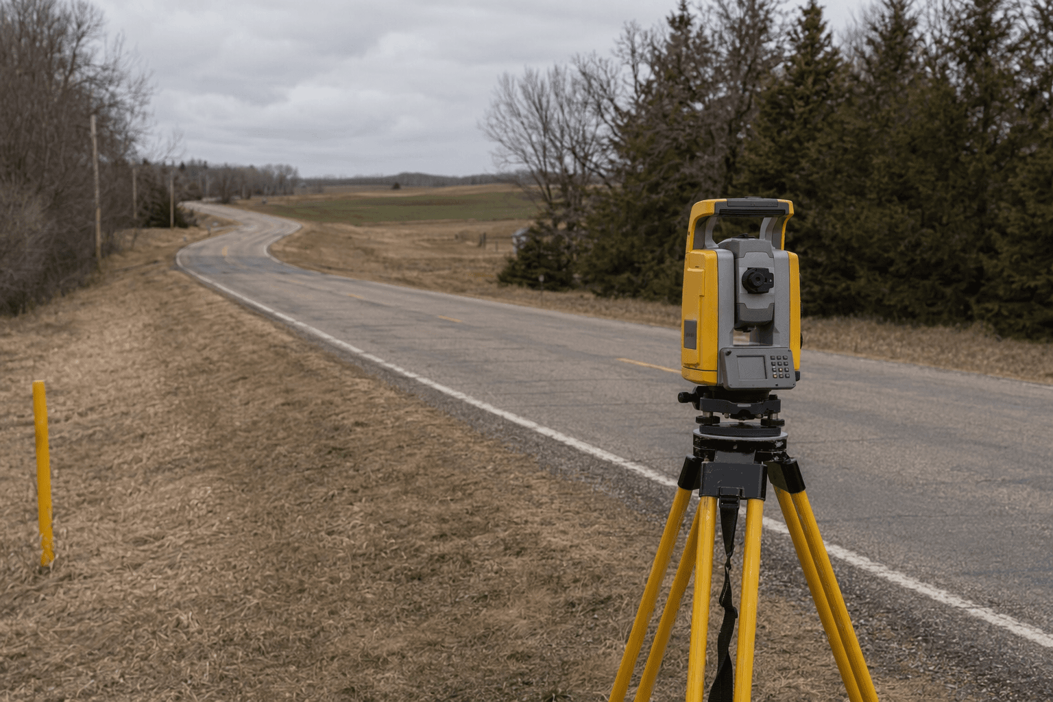
Otter Tail County is looking ahead to the land surveys that keep road projects, property lines and public records from slipping out of sync. The county has released a request for proposals for professional surveying services to fill county surveyor duties when needed, a role tied to the Highway Department, Land & Resource Management and the Recorder’s Office.
The work reaches far beyond paperwork. County surveyor duties can affect remonumentation, plat reviews, customer service, drainage and subdivision questions, and the accuracy of land records that builders, landowners and township officials rely on when projects move forward. In a county where roads, bridges and land use decisions intersect every day, the surveyor’s office helps determine where those decisions land on the ground.
The county laid out a tight schedule for the contract. The RFP was released May 13, with questions due by 4:30 p.m. May 29 and proposals due by 1 p.m. July 1. Otter Tail County expects to award the contract in August, with services beginning Jan. 1, 2027, and running through Dec. 31, 2028 unless the county and contractor agree otherwise.
The need for outside surveying help underscores how much technical work county government has to keep moving behind the scenes. Otter Tail County’s Highway Department says it maintains 1,067 miles of County State Aid Highways and County Highways, along with 74 bridges. The department’s 2050 Transportation Plan, approved in 2026, is supposed to guide transportation decisions and investments over the next 25 years, making accurate surveying a practical necessity for future road work.
Minnesota law adds another layer of importance: a county surveyor, or anyone designated to perform those duties, must be licensed in Minnesota as a land surveyor, and the job includes the practice of land surveying. That matters because the county’s Recorder’s Office maintains real-property documents and an index to reproductions of historical records, while the county GIS system includes a PLSS Corner Locator map for section corner certificates. For Otter Tail County, the contract is not just about hiring help. It is about protecting the records, maps and measurements that shape where people can build, how roads are planned and how land disputes are settled.
This article was produced by Prism’s automated news system from verified source data, official records, and press releases, then run through automated quality and moderation checks before publishing. The system is built and supervised by the people who set the standards it runs under. Read our full AI policy.
Did this article answer your question?


