Owsley County creek communities reflect geography and postal history
Cowcreek, Sturgeon and Arnett show how Owsley County grew along creeks, where a post office once meant mail, identity and a place on the map.

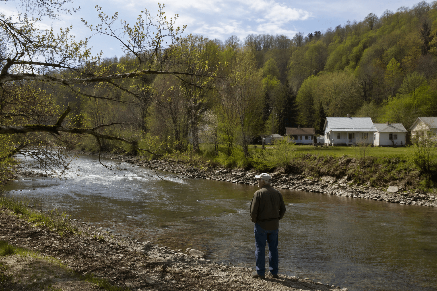
Owsley County’s creek-named communities are a map of how the county was actually built. In a place with 4,051 people spread across 197.41 square miles in 2020, and only about 20.5 residents per square mile, the creek, the road and the post office often mattered more than any formal town line.
Creeks, counties, and the county seat
Owsley County sits in Kentucky’s Eastern Coal Field region, with elevations ranging from 650 to 1,720 feet above sea level. It was formed in 1843 from Breathitt, Clay and Estill counties, with Booneville established as the county seat. That starting point matters because Owsley was never a densely settled county with one dominant center; it was a county of ridges, forks and narrow corridors where settlements formed around water and access.
Booneville’s own postal history shows how quickly a place could become official once land, government and mail came together. Elias Moore donated land for the county seat, the Owsley Court House post office opened in 1844, it was renamed Booneville in 1846, and Booneville was incorporated the same year. Over time, Owsley also contributed territory to Jackson County in 1858, Wolfe County in 1860 and Lee County in 1870, a reminder that the political map of this region kept shifting as settlement spread and county lines were redrawn.
Cowcreek at the forks of Cow Creek
Cowcreek sits about five miles southeast of Booneville at the forks of Cow Creek, one of the clearest examples of a settlement taking its name directly from the waterway that shaped it. The Cowcreek post office opened in 1900 and closed in 1957, a span long enough to anchor generations of daily life in a county where distance and terrain made a nearby postal stop a practical necessity. The Cowcreek census-designated place covered 69 square miles in 2010, which shows how a name that sounds small on the map actually covered a broad rural area.
A post office like Cowcreek was more than a counter for stamps. It gave residents a mailing address, a place for notices and correspondence to arrive, and a public name that confirmed the settlement existed as more than a hollow or a fork in the road. In counties as thinly populated as Owsley, that kind of recognition could help define where one community ended and another began, even when houses were scattered across hills and creek bottoms.
Sturgeon and the way postal names outlast service
Sturgeon lies about five miles southwest of Booneville on Little Sturgeon Creek, another settlement whose identity followed the stream. Its post office opened in 1900, but its postal history is especially revealing because the office was discontinued on August 31, 1933, and mail responsibility was transferred to Green Hall. The office did not fully close until 1957, which means the name stayed in local use even as the formal postal function shifted elsewhere.
That split between name and service is exactly what makes Sturgeon important for understanding Owsley County’s community boundaries today. Residents still know the place by the creek name, even though the federal mail system stopped treating it as an independent stop decades ago. The Sturgeon census-designated place had a land area of 82.9 square miles, underscoring how a single postal name could stand for a wide stretch of country rather than a compact town center.
Arnett and the people behind the post office
Arnett sits on the Right Fork of Cow Creek about nine miles southeast of Booneville, and its post office adds the human detail that raw dates alone cannot supply. The office opened in 1927 and closed in 1957, but the postal record preserves a chain of postmasters that turns the place into a lived timeline: Mose Sandlin, William M. Eversole, Leo Bowling, Ruth T. Gabbard and Eliza S. Amis. The record also anchors that timeline with specific dates, beginning with Mose Sandlin on August 30, 1927 and showing Eliza S. Amis on April 9, 1945.
Those names matter because rural postal history was personal. A postmaster was often the face of federal service in a remote place, the person who handled letters, packages and local news, and the one who gave residents a recognizable point of contact. In Arnett, the succession of names shows how a community could be traced through the people who kept its mail moving, not just through the date the office opened or closed.
What the lost postal stops still tell Owsley County
Cowcreek, Sturgeon and Arnett show the same pattern in three different forms: a creek or fork gave the place a name, the post office made that name official, and the closure or transfer of mail service redrew the practical boundaries of daily life. In a county with a 2025 population estimate of 3,932, that history still matters because the county remains sparse, rural and widely dispersed.
For people tracing ancestors, old school districts or forgotten crossroads, these names are not dead labels. They are clues to where families lived, where community identity formed and how residents once organized their lives around water and mail. In Owsley County, the creeks still mark the geography, and the old post offices still mark the moment when a settlement became a place the wider world could address.
This article was produced by Prism’s automated news system from verified source data, official records, and press releases, then run through automated quality and moderation checks before publishing. The system is built and supervised by the people who set the standards it runs under. Read our full AI policy.
Did this article answer your question?